Observation: Salt Lake Twins

Observation Date
4/6/2025
Observer Name
Champion
Region
Salt Lake » Big Cottonwood Canyon » Broads Fork » Salt Lake Twins
Location Name or Route
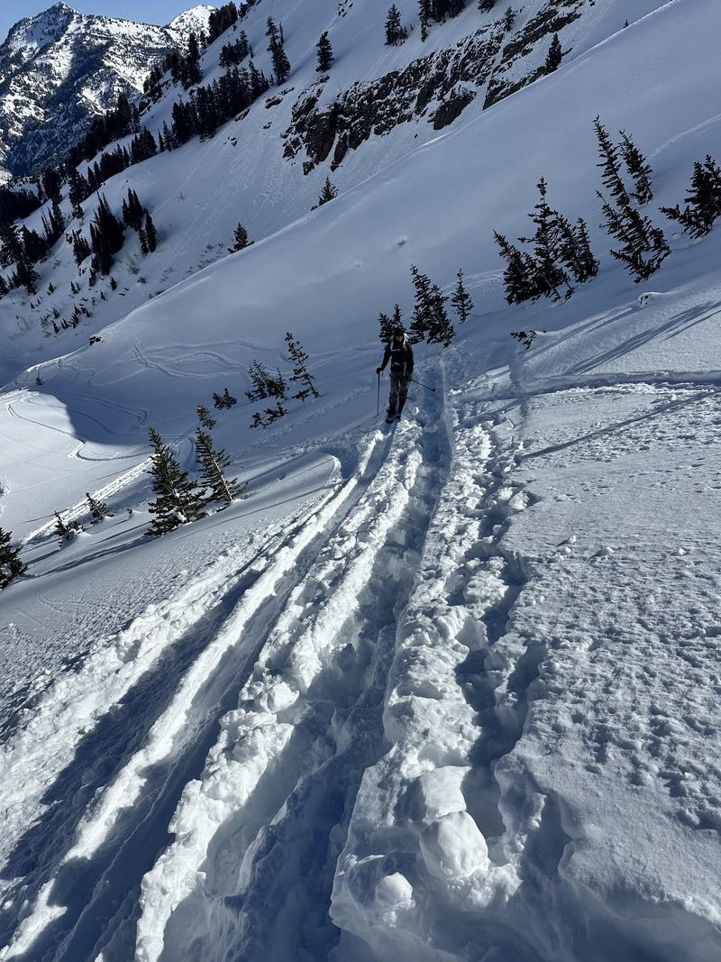
Upper Broads Fork - Twins
Weather
Sky
Clear
Wind Direction
Northwest
Wind Speed
Light
Weather Comments
Bluebird day out there—sunny skies all around. Light northwest winds were blowing along the high ridges, with temps in the mid-20s °F on the peaks. At trailheads, it was quite a bit warmer—ranging from the high 30s to mid-40s. The clear skies and breeze helped keep the snow surface cool up high, especially on shaded and wind-exposed slopes.
Snow Characteristics
Snow Surface Conditions
Powder
Wind Crust
Melt-Freeze Crust
Damp
Snow Characteristics Comments
Lots of variety in the snow surface out there today—it really depended on time, aspect, and elevation. Above 8,000 feet on north to northeast-facing slopes, we found soft, faceted snow that made for fast, fun turns—so long as you stayed in that mid-to-upper elevation band with a northerly tilt. Up along the ridgelines, there was some light wind texturing, but no obvious signs of transport.
Below 8,000 feet, all aspects (even north) had a supportable crust in the morning. By the time we were heading down, those same slopes were damp. South and west-facing terrain was a mix of refrozen junk, while northwest aspects were coated in a more shallow breakable crust.
The light northwest wind helped keep the snow surface cool into the late morning and early afternoon, which worked in our favor on the more northerly slopes. But anything that had refrozen or avalanched previously was just a frozen mess of rollerballs.
That being said, there is good riding to be had. I think the compass is just going to continue to shrink with every day of warm temepratures and clear skies. Get out early, and get up high.
Red Flags
Red Flags
Rapid Warming
Red Flags Comments
The snowpack seems to be handling the warm up generally well, but there are warm temperatures on the horizon.
Avalanche Problem #1
Problem
Wet Snow
Trend
Same
Problem #1 Comments
The main issue right now is wet snow. We didn’t see any new wet loose activity between 7 a.m. and 1 p.m., but there were plenty of signs from yesterday’s action. The wind did a good job keeping many slopes cool through the morning. That said, by the time we were heading out, the snow surface was becoming noticeably damp.
I think the danger will stay about the same tomorrow but will start to rise as we go a few nights without solid refreezes.
With these warm temperatures, timing will be key. Also worth keeping an eye out for cornices breaking loose and generally slick, slide-for-life conditions.
Comments
One quick note—there was a bootpack and a bunch of postholes right up the skin track to at least 9,600 feet. Just a reminder to use good travel etiquette, and if you’re heading into the backcountry without skis or a snowboard, remember that avalanches can still happen.
Today's Observed Danger Rating
Low
Tomorrows Estimated Danger Rating
None
Coordinates