Observation Date
3/23/2025
Observer Name
Champion & Wilson & Whitefields & Fuys
Region
Salt Lake » Little Cottonwood Canyon » Red Pine » No Name Baldy
Location Name or Route
Red Pine - No Name Baldy
Comments
The goal for the day was to step into bigger terrain, assess the wind-drifted snow, and see how the warm temperatures impacted the snow surface. We expected elevated winds in the morning but also anticipated them—and the cloud cover—to ease earlier. Instead, the winds remained strong throughout the day, gusting up to 50 mph at 11,000 feet into the late afternoon. Snow was actively being transported along ridgelines and even down into mid-elevations.
Despite significant wind activity, we didn’t experience widespread instability in wind-drifted snow. Cracking and collapsing were minimal, and while some areas felt hollow and slabby, breaking off small chunks of drifted snow, these slabs didn’t seem widespread or well-connected in the areas we traveled. Most surfaces were very firm, reinforcing what Dave mentioned this morning—slopes were allowing travel farther out onto them.
Graupel seemed like a key component. Areas that received more of it showed slightly more instability in the wind-drifted snow. While graupel was obvious in places on the surface, it never accumulated more than an inch and didn’t appear to pool in many areas.
In the Red Pine/White Pine drainage, a growing concern would be the increasing size of cornices. Throughout the day, the ridgeline between White Baldy, No Name Baldy, and the Pfeifferhorn took a beating from the wind. With warming temperatures and decreasing winds in the coming days, I’d be wary of those large cornices breaking loose.
The winds helped keep the snow surface in check while we traveled. It was cooler than expected, but by the time we exited the White Pine trailhead, even lower-elevation north-facing slopes that weren’t shaded had started to dampen.
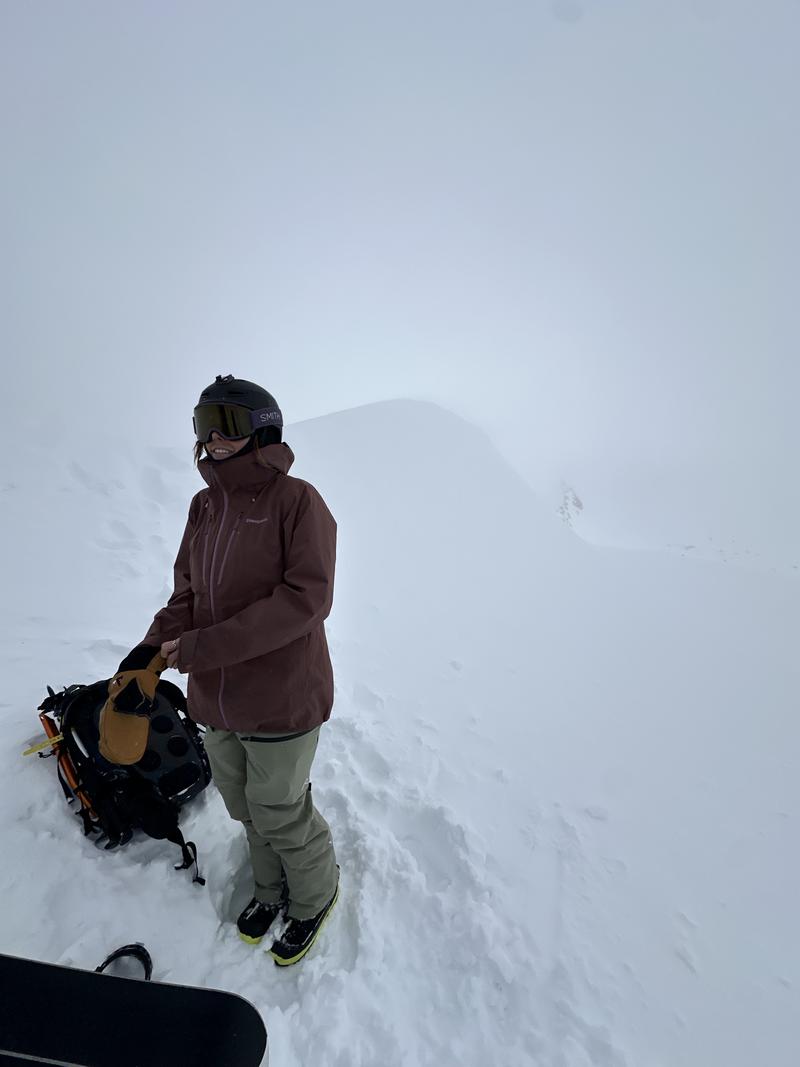
Visibility on No Name Baldy

Today's Observed Danger Rating
Moderate
Tomorrows Estimated Danger Rating
None
Coordinates


