Observation Date
2/20/2025
Observer Name
Ryan Huels
Region
Moab » North Goup » Mount Waas
Location Name or Route
Mount Waas NE Shoulder
Weather
Sky
Overcast
Precipitation
Light Snowfall
Wind Speed
Moderate
Weather Comments
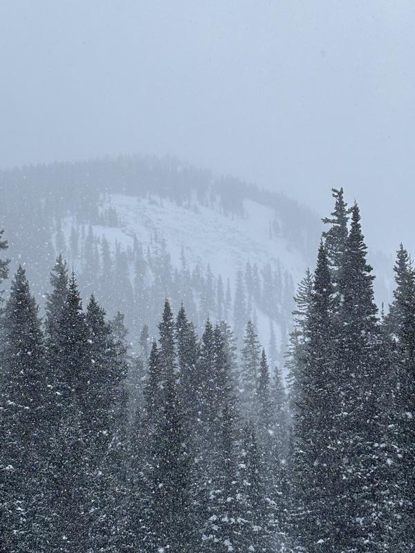
On and off snow all day long from 0800-1530. At times snow was heavy and there were intermittent periods of clearing. There was cloud cover all day long until the late afternoon when things cleared. Winds were out of the West thought out the day at moderate speeds with occasional strong gusts. Wind transport was evident. During the course of the day an additional 2-3 inches appeared to fall covering my skin tracks. I measured 8cm of new and windblown snow in the morning in my snow pit on an E facing slope at 11000’. Skied much deeper with snow and wind transport during the day. Transitioning into high pressure and clear sky’s for the foreseeable future.
Snow Characteristics
New Snow Depth
5"
New Snow Density
Low
Snow Surface Conditions
Powder
Wind Crust
Snow Characteristics Comments
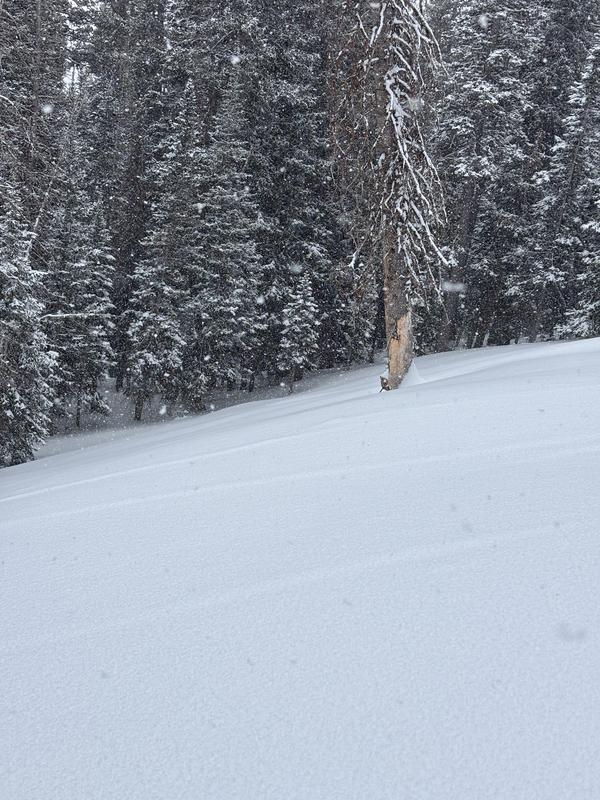
Very excellent skiing/riding on East aspects in the trees and in open meadows below tree line. I measured 3" of new snow in my pit at 1030 and it snowed on and off during the day. In addition to wind transport the snow was skiing much deeper than measured and was the best of the season.
Red Flags
Red Flags
Heavy Snowfall
Wind Loading
Cracking
Collapsing
Poor Snowpack Structure
Red Flags Comments
On and off snow during the day was being transported to leeward slopes by wind coming from the east. The major instability I noted in my stability tests were the new snow on top of a wind crust at the top of our previous storm slab from last weekend. There was isolated collapsing and cracking. I did note some larger collapses/wumpfs in shaded areas in the trees on my 2/3rd ascent up my skin track reminding me that previous tracks do not indicate stability. I am still very cautious of our snowpack with the multiple weak layers present, but I was not able to produce any results into older faceted layers in my extended column tests.
Avalanche Problem #1
Problem
New Snow
Trend
Increasing Danger
Problem #1 Comments
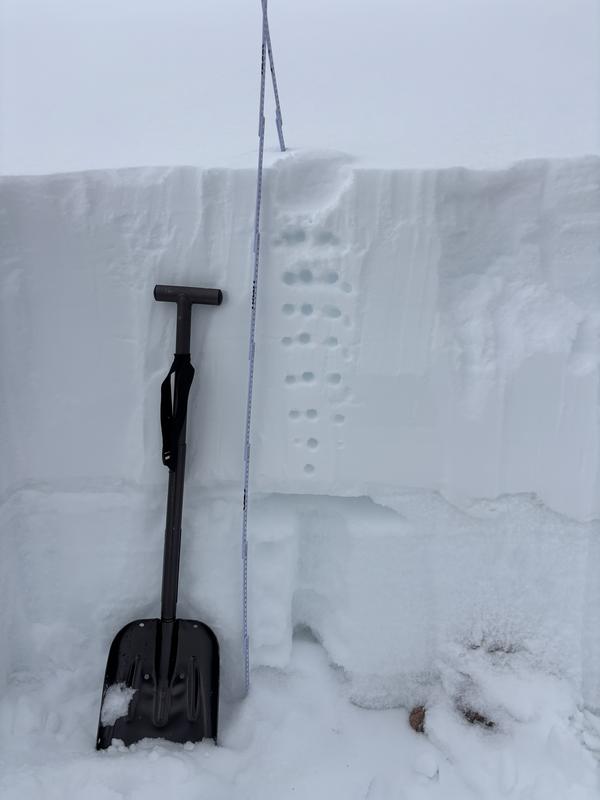
There was 3 inches of new snow in my pit and I performed two extended column tests. I dug a pit and performed some stability tests on an East facing slope in open terrain right around treeline at 11100'. I was able to produce an ECTN5 and ECTP7 at 103cm at the base of a 2cm wind crust at the top of the last weekends storm slab. I performed a second tests and got a result of ECTP3 at this same layer. I anticipate this will become more reactive with the possibility of light snow tonight and continued winds.
Avalanche Problem #2
Problem
Persistent Weak Layer
Trend
Same
Problem #2 Comments
I was very surprised during my extended column test I was not able to produce any results into older, faceted layers of snow. I am still not confident in our weak/shallow snowpack being safe.
Snow Profile
Aspect
East
Elevation
11,100'
Slope Angle
25°
Comments
Snow pit at 11100' near treeline on an East Facing aspect. New snow on top of a large dense slab from the previous storm last weekend. Below this layer is is multiple crusts separating weak, faceted snow.
Through heavy morning snow, either a repeat offender from the pervious storm cycle last weekend or one that broke to the ground on steep, rocky and radical N facing terrain.
Evidence of old cracking on a small steep convex in the trees
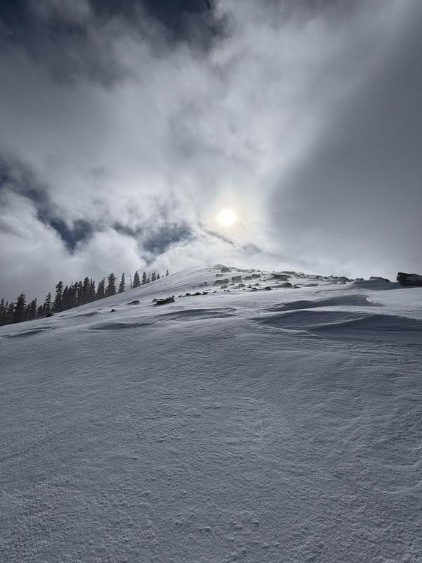
Wind transport during the entire day and previous days is loading N-NE-E facing slopes.
La Sal Peak's East facing Couloir filled in from wind transport.
Video
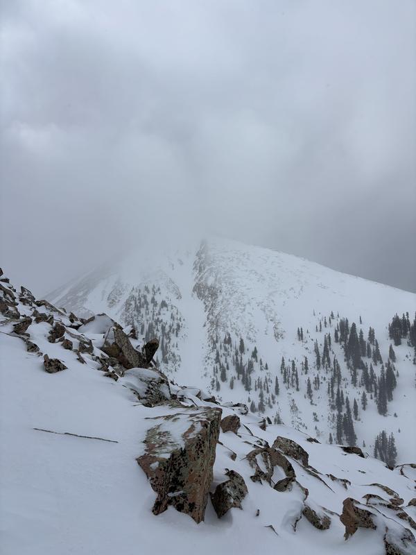
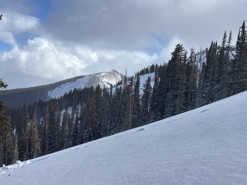
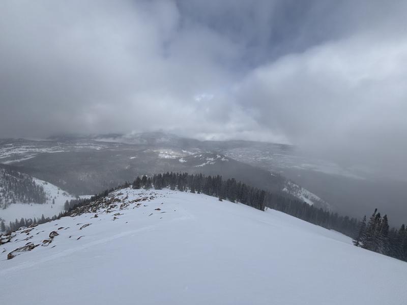
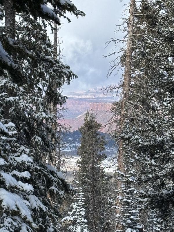
Beautiful views and excellent skiing/riding in the North Group of the La Sals
Today's Observed Danger Rating
Considerable
Tomorrows Estimated Danger Rating
Considerable
Snow Pilot URL