Observation: Cutler Ridge

Observation Date
2/19/2025
Observer Name
Richie Schumacher
Region
Ogden » Ben Lomond » Cutler Ridge
Location Name or Route
Cutler Ridge
Weather
Sky
Broken
Wind Direction
Southwest
Wind Speed
Moderate
Weather Comments
Started the day at 0800 with temps around 20*, calm winds, and broken skies with the peaks obscured. As the day progressed temps rose, but so did wind speeds, keeping things cool. Winds were consistently moderate with gusts of strong in the upper-mid elevation band with notable snow being transported and surface wind slab thickness, hardness, and sensitivity increasing noticeably throughout the day.
Snow Characteristics
New Snow Depth
1"
New Snow Density
Medium
Snow Surface Conditions
Powder
Wind Crust
Snow Characteristics Comments
1-2" of snow from yesterday on the surface mixed with graupel and small surface hoar and with variable wind affect and slab formation throughout the zone, especially at mid and higher elevations. Boot pen was 50cm, ski pen 5-15cm.
Red Flags
Red Flags
Recent Avalanches
Wind Loading
Cracking
Red Flags Comments
Noticed a possible crown on the cutler headwall below some developing cornice. Unsure of timing or if it has been reported and could not see any debris below (poor vis or buried). (pictured) Had some sensitive 4F to 1F- wind slab reactivity on test slopes throughout the day, particularly one at around 8100' on a north aspect, about 6-10" deep and 10' wide (pictured). Cracking noted throughout the day at skis in soft and hard surface wind slab (2-4" on average). Lots of wind loading noticed from previous days as well as active transport and loading during the day today.
Snow Profile
Aspect
North
Elevation
8,000'
Slope Angle
25°
Comments
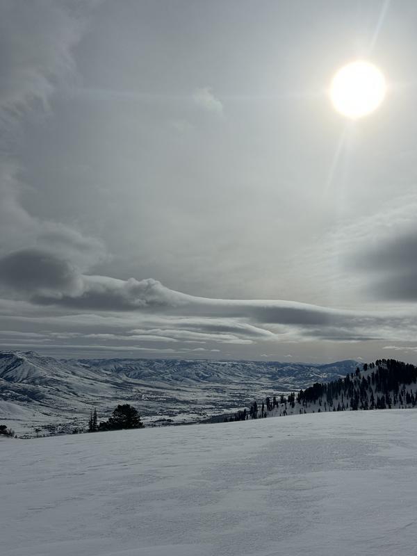
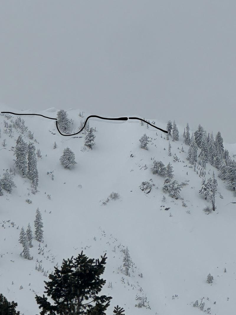
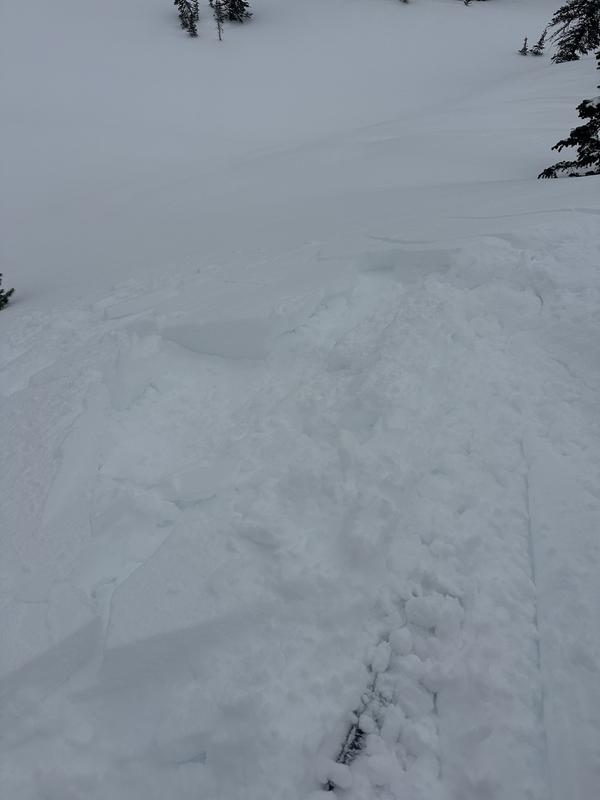
Dug a 150cm pit in a wind loaded area on a North aspect at 8000'. Note: average snow depths in windward areas were in the 75-150 range, while lee slopes were in the 200-300cm range. This location was 320cm deep total. At first glance, the layering seems fairly solid, but shovel shear and compression tests showed weaknesses in the new wind slab forming near the surface on lower density new snow and graupel 7cm down (CT 3 BRK), within this past storm snow on a density change with graupel mixed in from this past cycle 35cm down (CT 14 SC), and on top of the MF crust combo lower in the pack 90cm down (CT 29 SC). The most sensitive of these seemed to be the density change in the past storm snow, however as the wind slab on the surface thickens and hardens it will be increasingly concerning.
Today's Observed Danger Rating
Considerable
Tomorrows Estimated Danger Rating
Considerable
Coordinates