AVALANCHE WARNING!! Tap for info

Observation: Cutler Ridge

Observation Date
12/18/2024
Observer Name
Torrey, Hardesty, Brandt
Region
Ogden » Ben Lomond » Cutler Ridge
Location Name or Route
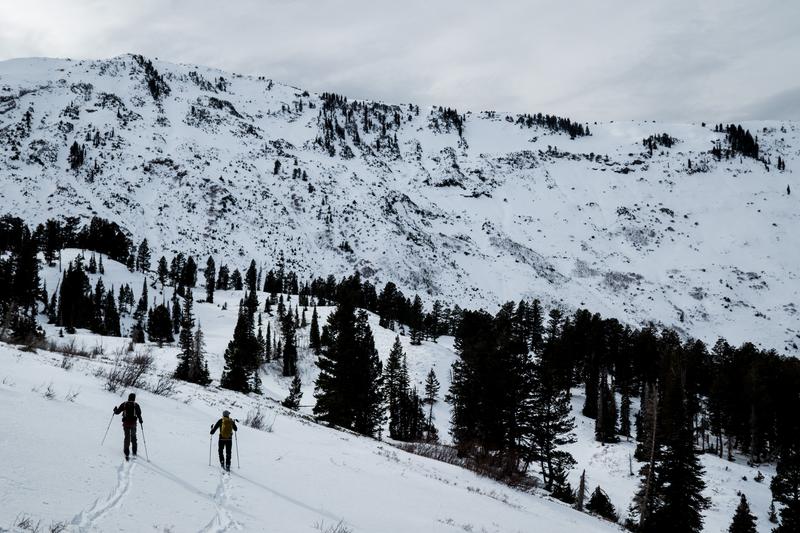
Cutler Basin
Weather
Wind Direction
Southwest
Wind Speed
Moderate
Weather Comments
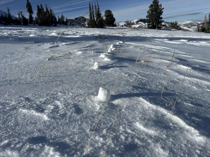
Cloud cover increased into the early afternoon. Light winds at low elevations. Moderate with the occasional strong breeze at mid and upper elevations-transporting snow.
Snow Characteristics
Snow Surface Conditions
Dense Loose
Melt-Freeze Crust
Rain-Rime Crust
Snow Characteristics Comments
Thin rain crust up to about 6600'. Melt-freeze on solar aspects. Wind-pressed snow but soft on most shady slopes. Roughly 16" at the trailhead and snow depths of 24 to 30 inches up high. Access and exits out of Cutler are fine with variable riding conditions up high.
Red Flags
Red Flags
Wind Loading
Poor Snowpack Structure
Red Flags Comments
Some minor cracking but no collapsing. Variable snowpack.
Avalanche Problem #1
Problem
Persistent Weak Layer
Trend
Same
Problem #1 Comments
Several non-propagating test results and an absence of collapsing point towards an adjusted snowpack but the overall poor snowpack structure is a trump card. The amount of variability we experienced within just the surface conditions alone is indicative of the variability of overall snowpack conditions. Nearly every slope we observed had a different combination of slab and weak layer thickness, and recent exposure to wind. For now, continuing with a holding pattern. No surface hoar found in our profiles above 8000' though may still be in protected lower elevation areas.
Today's Observed Danger Rating
Moderate
Tomorrows Estimated Danger Rating
Moderate
Coordinates