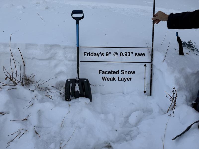
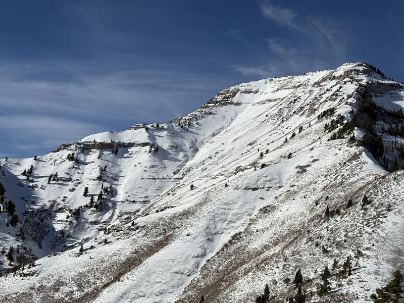
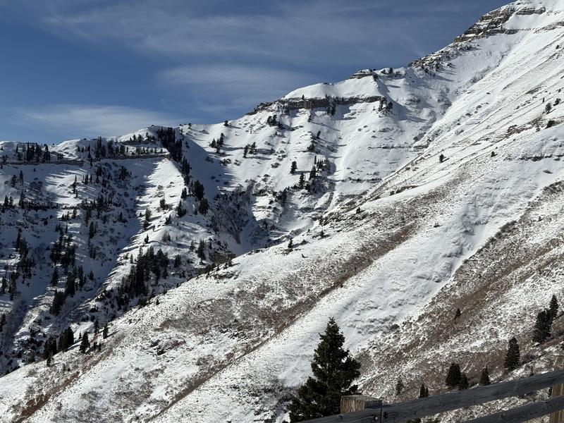
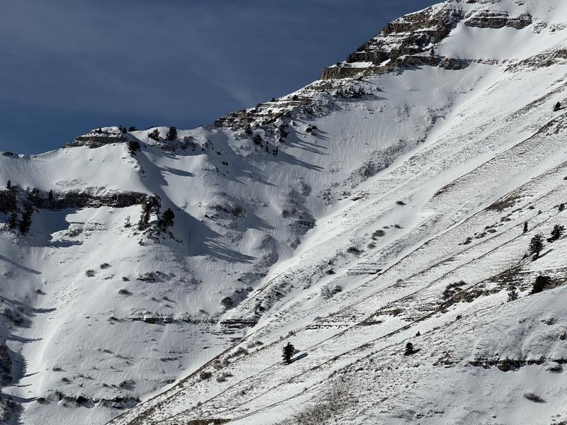
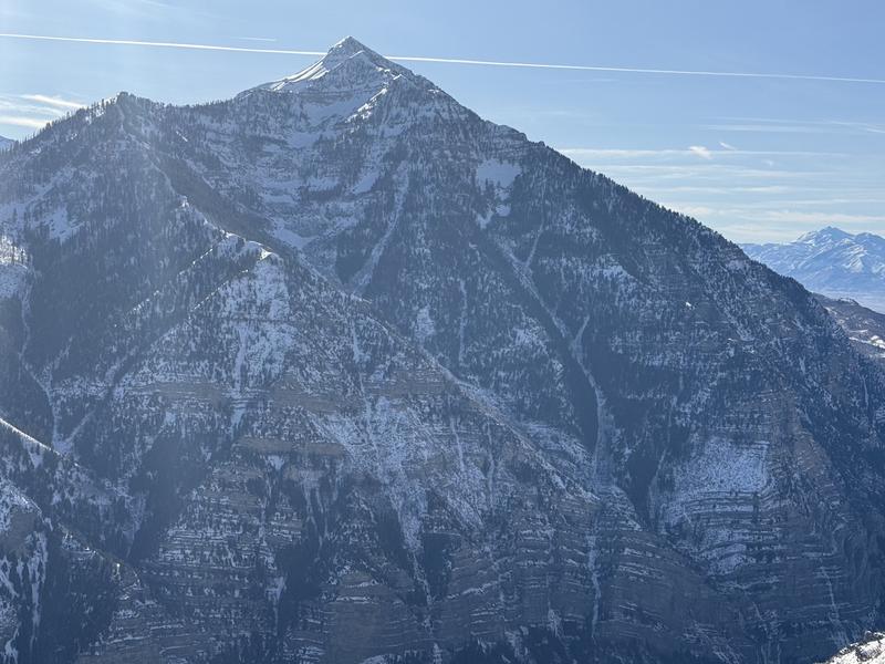
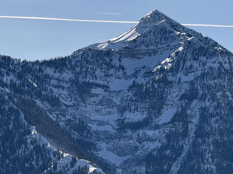
Most of the terrain we traveled in was low-danger today. On Friday, December 13th, Mid Mountain (7,500') reported 9" snow with 0.93" water weight. A few avalanches were reported from control work and slope cuts the next day. Some were 800 feet wide and broke 6-8 inches deep. These avalanches, however, ran a reasonable distance and were just large enough to bury a person.
The recent new snow has settled to roughly 6 inches deep and has already started to become weak and faceted. Triggering an avalanche here is not likely as you sink to the ground in the bottomless sandbox. I would be more concerned in wind-loaded areas with a much harder slab over the weak layer. No collapsing or cracking was noted. The Extended Column Test did not propagate.
With these warm and sunny days, I only worried about weak snow that would be wind-drifted on northerly-facing terrain. Southerly-facing terrain on the SE, S, and SW was a non-issue, as many places were dirt or melted.
