

Observation Date
12/6/2024
Observer Name
Ted Scroggin
Region
Uintas » Double Hill
Location Name or Route
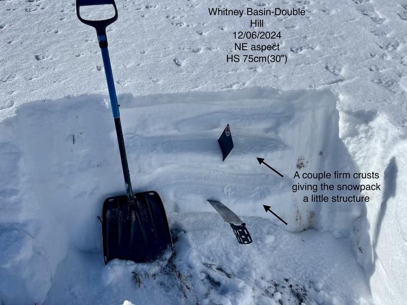
Whitney Basin-Double Hill
Comments
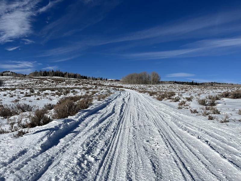
1. The access is a bit of a mixed bag with both wheels and tracks used to get out into the Whitney area. There is about 12-16" at the 9,000' elevation and travel off the road is thin, but folks are finding some ok snow to ride on with some supportability.
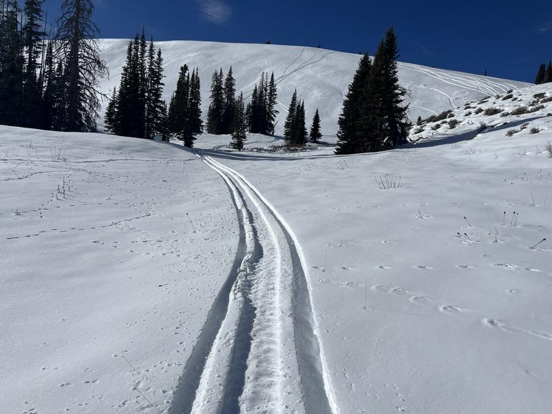
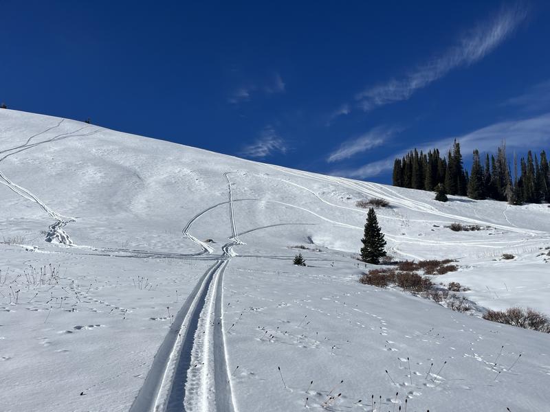
Its not all doom and gloom out there considering the lack of snow, I was surprised to find a little bit of supportability in the Double Hill area. There a couple of firm layers in the snowpack which keeps you off the ground on slopes that have some east direction to them. ***The flip side to this however is once it snows and blows again these slopes might be able to support some weight before they fail.
Today's Observed Danger Rating
Low
Tomorrows Estimated Danger Rating
Low
Coordinates