


Observation Date
12/3/2024
Observer Name
Kelly
Region
Ogden » North Ogden Divide
Location Name or Route
North Ogden Divide
Comments
Total height of snow (HS ) was 16" (41cm). There were three distinctive crusts with facets in between. Snow surface was 1" (3cm) surface hoar. Weakest layer was 3" (8cm) from the ground below a crust. I got failure with propagation on this layer with an extended column test (ECTP13@8). What's saving us right now is that there is minimal slab on top of these weak layers. As soon as we see any additional snow ( either from storm snow or wind loading ) then things will change quickly and any of these faceted layers will likely be the weak layer that will create avalanches.
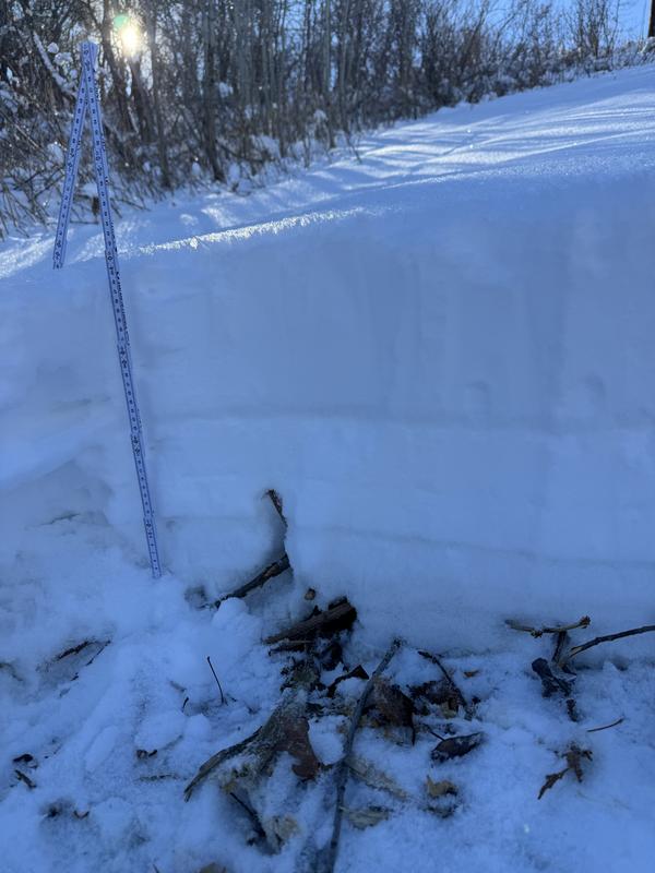
Photo of a quick hand pit on a northeast aspect at 6,800' in elevation.
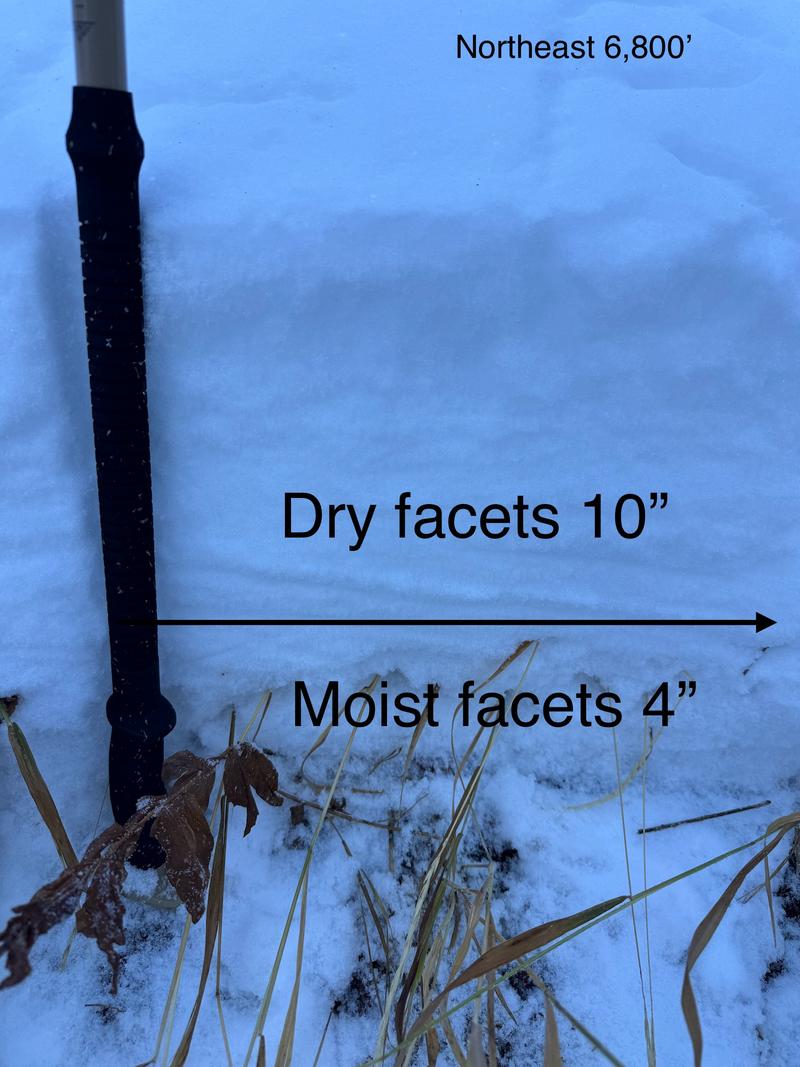
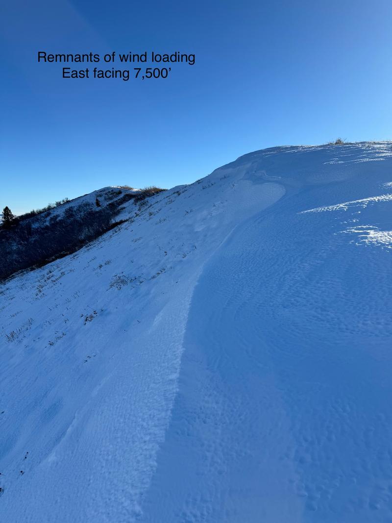
Photo of previous wind loading on an east facing ridgeline at 7,500'
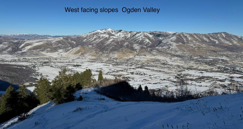
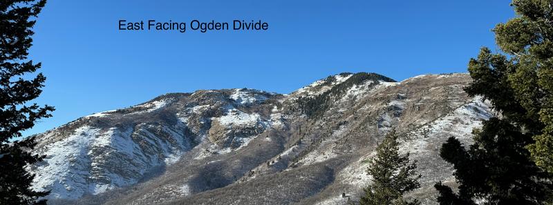
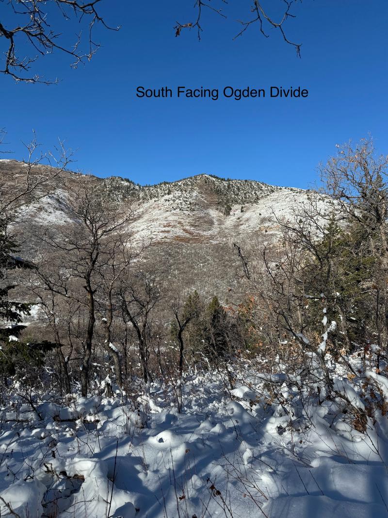
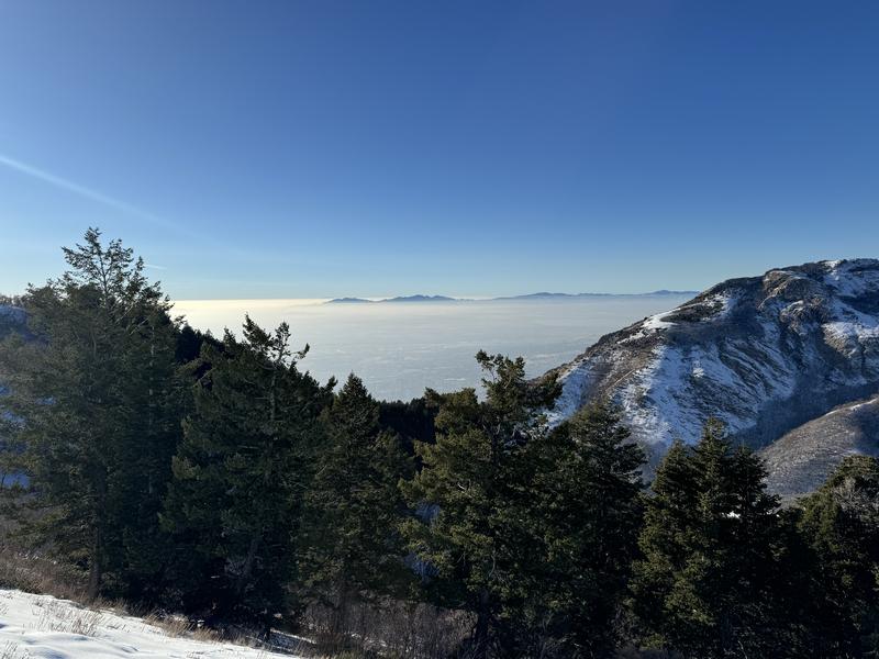
Below photos showing snow coverage from the North Ogden Divide. Bottom photo looking back towards the inversion over North Ogden.
Today's Observed Danger Rating
Low
Tomorrows Estimated Danger Rating
None
Coordinates