Join us at our 2nd Annual Blizzard Ball

Observation: Twin Lakes Pass

Observation Date
12/2/2024
Observer Name
Champion & Antenucci
Region
Salt Lake » Little Cottonwood Canyon » Grizzly Gulch » Twin Lakes Pass
Location Name or Route
Twin Lakes Pass
Weather
Sky
Clear
Wind Direction
Southeast
Wind Speed
Calm
Weather Comments
Mostly clear skies above the inversion, warm temperatures, and calm winds.
Snow Characteristics
Snow Surface Conditions
Faceted Loose
Wind Crust
Damp
Snow Characteristics Comments
The primary focus of the day was the snow surface, as we already have a good understanding of whats happening underneath the surface (it's weak...). On north-facing aspects, the snow surface has started to weaken and facet. Outside the wind zone, 3–4mm surface hoar remains preserved in many areas. On solar aspects, the snow surface became damp by midday, and with the ongoing high-pressure trend and warm daytime temperatures, I expect a melt-freeze crust to form each morning this week.

3-4mm surface hoar near the trees out of the wind zone.
Red Flags
Red Flags
Poor Snowpack Structure
Snow Profile
Elevation
9,900'
Comments
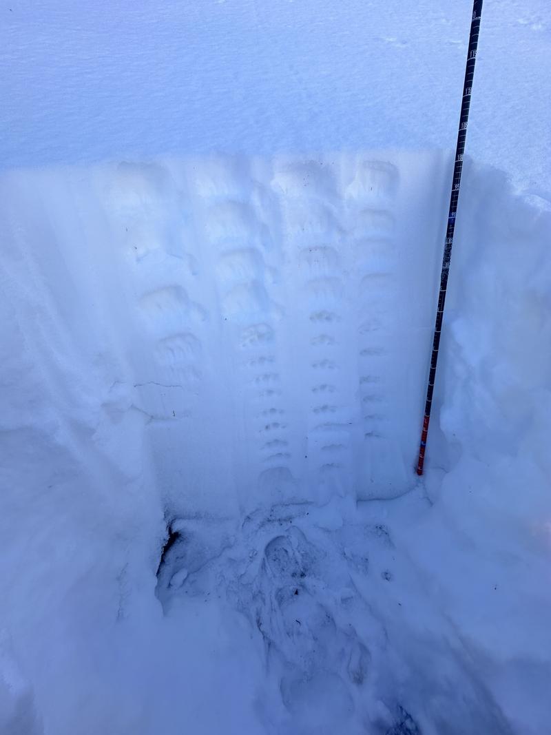
The snowpack structure is weak—almost entirely so. Today, we were unable to produce any results in an ECT due to the lack of a defined slab. As this low-pressure pattern continues, the snowpack will likely continue to facet on all aspects, further diminishing slab structure. It will be interesting to monitor the southerly aspects to see where a persistent weak layer (PWL) develops within the snowpack on different aspects.
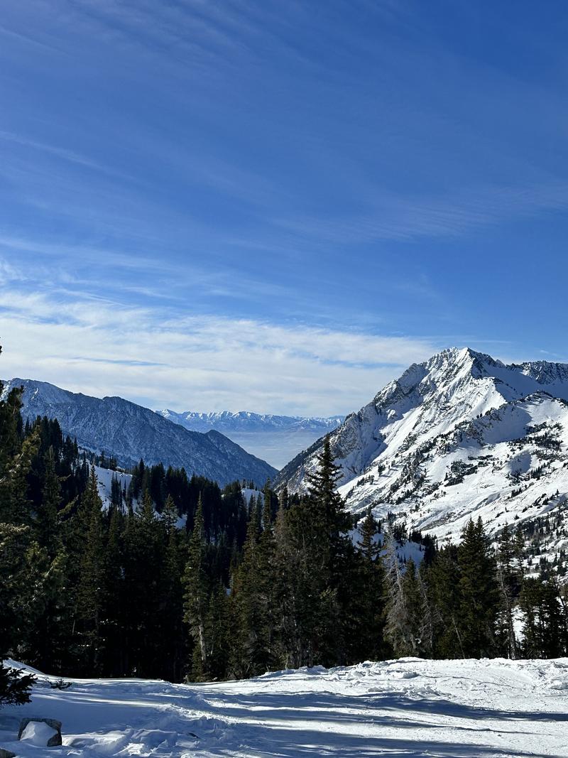
Coverage remains very low, and the primary hazard continues to be hitting rocks and stumps.
Overall coverage and smog in the valley
A generally weak snowpack NE Aspect - 10,000'.
Today's Observed Danger Rating
None
Tomorrows Estimated Danger Rating
None
Coordinates