Observation Date
12/1/2024
Observer Name
Hardesty, Torrey, Woodruff
Region
Provo » Provo Canyon » South Fork Provo R. » Big Springs
Location Name or Route
Big Springs
Comments
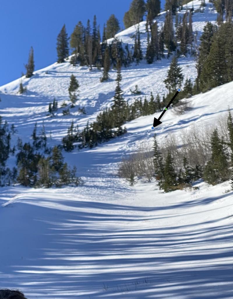
Travel was up Big Springs into the north fork of the south fork. We ascended adjacent to Tuesday's natural avalanche that failed on early season PWL of faceted grains and continued up the ridge to roughly 9500', perhaps a touch higher. Our assessment was that there was higher precipitation intensity and more wind that produced this avalanche. This avalanche sympathetic'd another small pocket well below and adjacent to it and this avalanche was perhaps 18" deep and 40' wide with similar structure. It was ENE facing at roughly 9100'. Photo below.

Video
The avalanche danger has diminished since the Tuesday/Wednesday storm. The question is How much is it diminishing?
We were surprised to experience zero cracking or collapsing.
Extended column tests were inconsistent: some with full propagation, some ECTN or ECTX.
What was consistent was the poor structure of "basal" faceted grains on the polar aspects. (And now the newest snow is weakening from the top down.)
(East facing mid/upper elevation was also extremely variable: areas of faceted grains or damp faceted grains or none at all. The east facing terrain we traveled was also variable in regards to slab distribution. Too much uncertainty, but seems prudent to keep at least upper elevation east facing as "pockety" in regards to PWL avalanches. ) *Sometimes identifying the weak layer is easy and identifying the slab is difficult.*
Bottom Line: I could not rule out the possibility to trigger an avalanche on this layering in steep shady terrain of the mid upper elevations, particularly in wind drifted terrain.
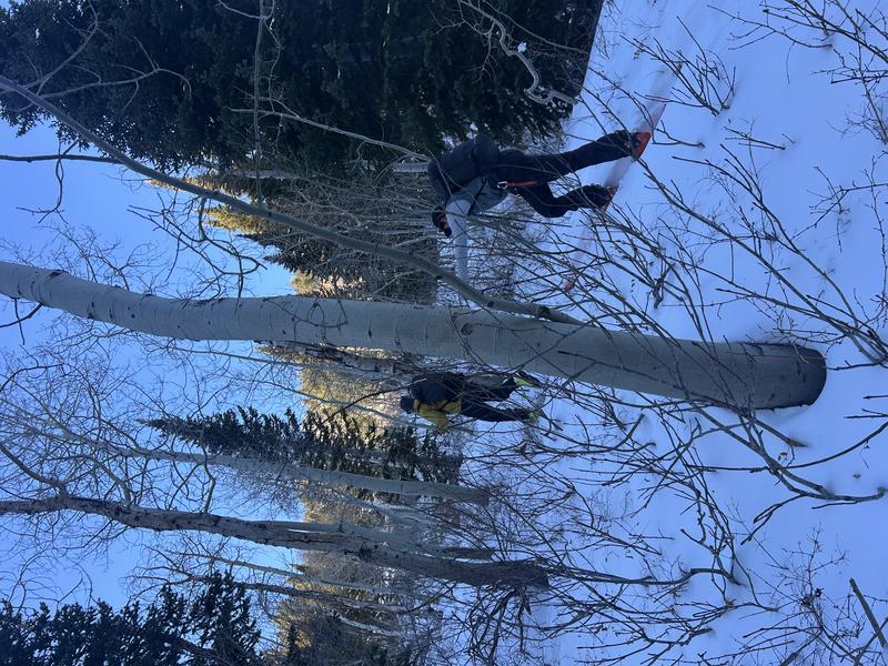
Classic access issues in the Provo mountains below.

Today's Observed Danger Rating
Moderate
Tomorrows Estimated Danger Rating
Moderate
Coordinates


