Join us at our 2nd Annual Blizzard Ball

Observation: Horse Creek

Observation Date
11/28/2024
Observer Name
Trenbeath
Region
Moab » Horse Creek
Location Name or Route
Horse Creek
Weather
Sky
Clear
Wind Direction
Northwest
Wind Speed
Calm
Weather Comments
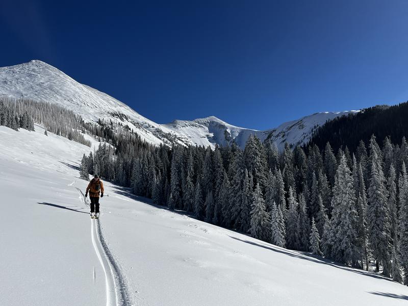
Beautiful, calm, sunny day in the mountains. Sunshine made it feel warmer than it was. Temps started out in the high teens and stayed in the low 20's.
Snow Characteristics
Snow Surface Conditions
Powder
Damp
Snow Characteristics Comments
Storm two days ago deposited 18" of snow at 3.7" SWE. The last 6" or so were medium density powder. It still skied really well today with skis penetrating down to the surface of the dense layer. By afternoon, sun exposed slopes were taking on heat and getting damp. They'll be mostly crusted over by tomorrow.
Red Flags
Red Flags
Collapsing
Poor Snowpack Structure
Red Flags Comments
Felt several collapses on the way in. I dug on a west aspect around 10,300' and found 60 cms total snow depth with bottom 24 cms completely faceted. The dense storm snow from Nov 26 formed a cohesive slab from 4f to 1f hardness except for the top 14 cms which were loose, medium density powder. An extended column test produced an ECTP 11 at the top of the faceted layer.
Avalanche Problem #1
Problem
Persistent Weak Layer
Trend
Same
Problem #1 Comments
A thick layer of basal facets will be our persistent weak layer for quite some time.
Basal faceted weak layer visible beneath the most recent, dense, storm snow.
Extended column test results of ECTP 11 on top of the faceted layer.
Snow Profile
Aspect
West
Elevation
10,300'
Comments
Typical set up and this problem will be with us for awhile. Great to see the recent base building material however, and it was a beautiful day out there!
Today's Observed Danger Rating
Considerable
Tomorrows Estimated Danger Rating
Considerable
Coordinates