Sign Up for the Utah Snow and Avalanche Workshop (USAW) on December 7th!

Observation: Mill Hollow

Observation Date
11/19/2024
Observer Name
Katz
Region
Uintas » Mill Hollow
Location Name or Route
Mill Hollow
Weather
Sky
Few
Precipitation
Light Snowfall
Wind Direction
West
Wind Speed
Light
Weather Comments
Broken sky cover and accompanying light precipitation cleared out at 1330.
Snow Characteristics
New Snow Depth
5"
New Snow Density
Low
Snow Surface Conditions
Powder
Red Flags
Red Flags
Wind Loading
Poor Snowpack Structure
Red Flags Comments
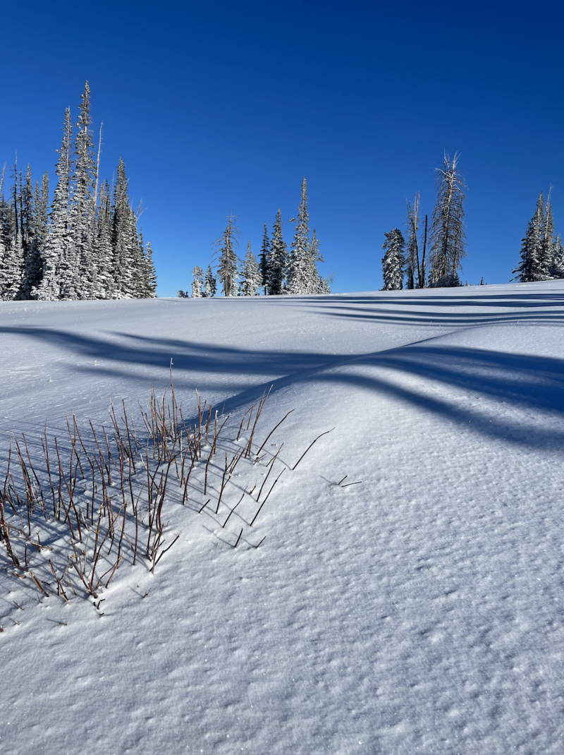
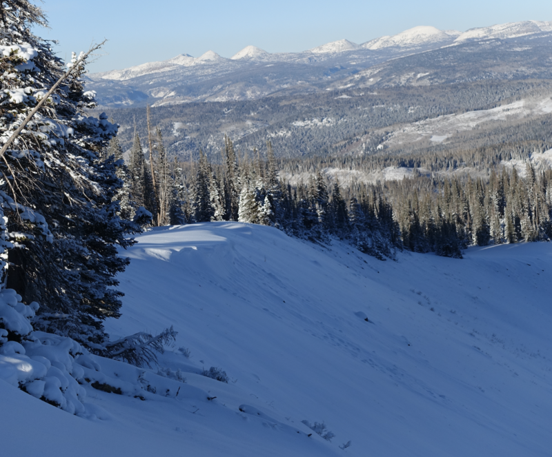
Previous winds have loaded generally E facing slopes. Attached is a photo of wind deposited snow lee of a bush on an exposed ridge at 10,000', as well as a small cornice that came loose on an E face at 10,000'. The current snow surface, however, remains smooth and pristine.
Snow Profile
Aspect
East
Elevation
9,700'
Slope Angle
27°
Comments
Despite the recent round of storms, travels in Mill Hollow revealed a weak snowpack, with difficult riding and turning conditions as a result of the unsupportability of the snowpack. The strongest layer observed is a MF crust (@24cm in the attached snowpit). On more solar aspects, this crust was stronger.
Today's Observed Danger Rating
None
Tomorrows Estimated Danger Rating
None
Coordinates