Check out our Holiday Auction - Sign Up for the Utah Snow and Avalanche Workshop (USAW)

Observation: Fat City

Observation Date
11/15/2024
Observer Name
Hardesty
Region
Salt Lake » Park City Ridgeline » Fat City
Location Name or Route
Park City Ridgeline
Weather
Sky
Broken
Precipitation
Light Snowfall
Wind Direction
Southwest
Wind Speed
Moderate
Weather Comments
Beautiful, transitioning weather. Moderate winds from the southwest but little snow available for transport as many windward slopes were bare ground. Small diameter graupel began at 430pm.
Snow Characteristics
New Snow Depth
14"
New Snow Density
Medium
Snow Surface Conditions
Powder
Damp
Snow Characteristics Comments
Still just 8-16" of total snow on the shady aspects.
Red Flags
Red Flags
Poor Snowpack Structure
Red Flags Comments
No cracking or collapsing noted; variable conditions due to it being early season as well as today's wind. More broadly, this would include the moderate/strong southwest winds from Wednesday.
Snow Profile
Aspect
North
Elevation
9,800'
Comments
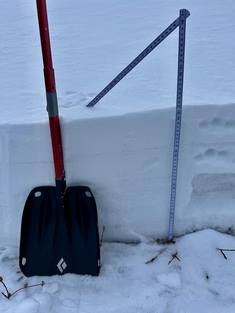
Photo of profile at 9800' north facing along the PC ridgeline.
The surface snow - owing to warmth and cloud cover - did not seem very weak to me. The more widespread issues are the midpack or facets above the basal crust.
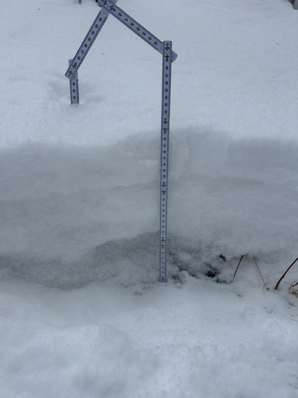
Above photo NNE aspect at 9000', no basal crust but very weak snow at the midpack and below.
Today's Observed Danger Rating
None
Tomorrows Estimated Danger Rating
None
Coordinates