Observation Date
11/9/2024
Observer Name
Ryan Huels
Region
Moab
Location Name or Route
Horse Creek
Comments
Hooray for winter in the La Sals!
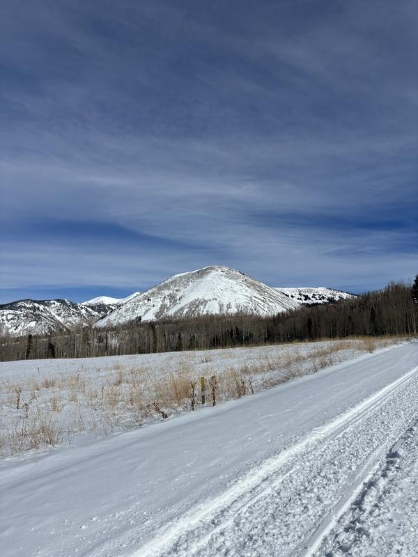
The La Sal Loop Road has a smooth fresh layer of new pavement above the large hairpin turn past Pack Creek all the way to the Gyeser Pass turnoff which is quite nice. The Gyeser pass road was sloppy on the bottom 1/4 and snow packed the rest of the way to the winter parking lot.
It was 34 degrees at the winter parking lot at noon and the sun was out all day. I had originally planned to ski a southly facing aspect, but on the skin up it was obvious that all solar aspects were becoming wet and heavy on the surface and will begin to form a melt/freeze crust.
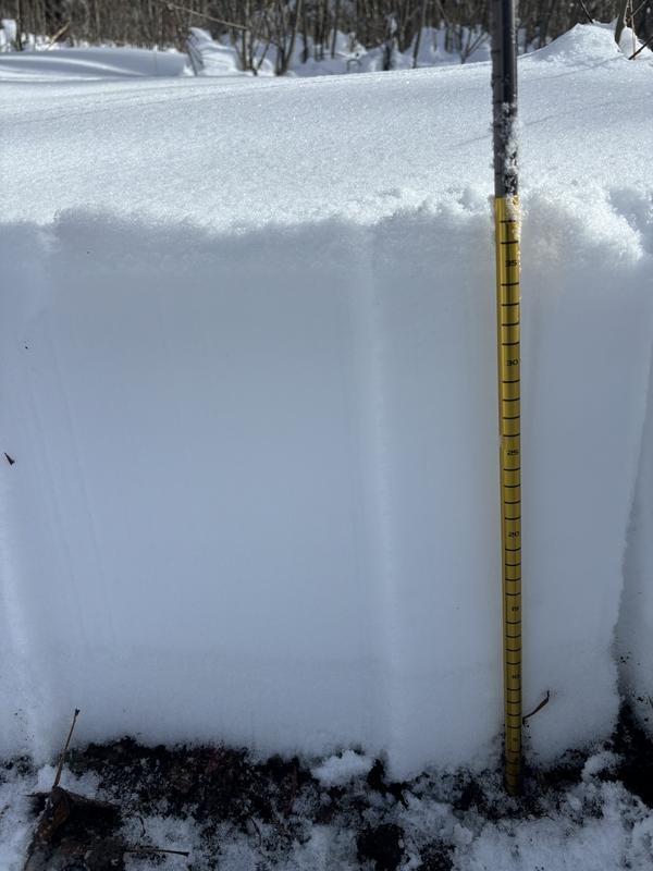
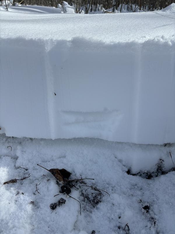
I skinned up Horse Creek to 10200' and dug to the base of the snowpack on a NW facing aspect. The entire snowpack here was 35cm deep with a weak layer of 5cm at the base of the snowpack from the earliest of storms this season.
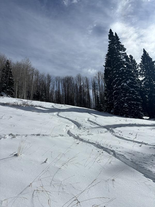
The snow was supportable for skiing and the turns were soft. I was only penetrating 10-15cm into the snow while making turns. The best skiing and riding seemed to be on grassy slopes protected from the sun. But, there are still plenty of sharks looming below the thin snowpack.
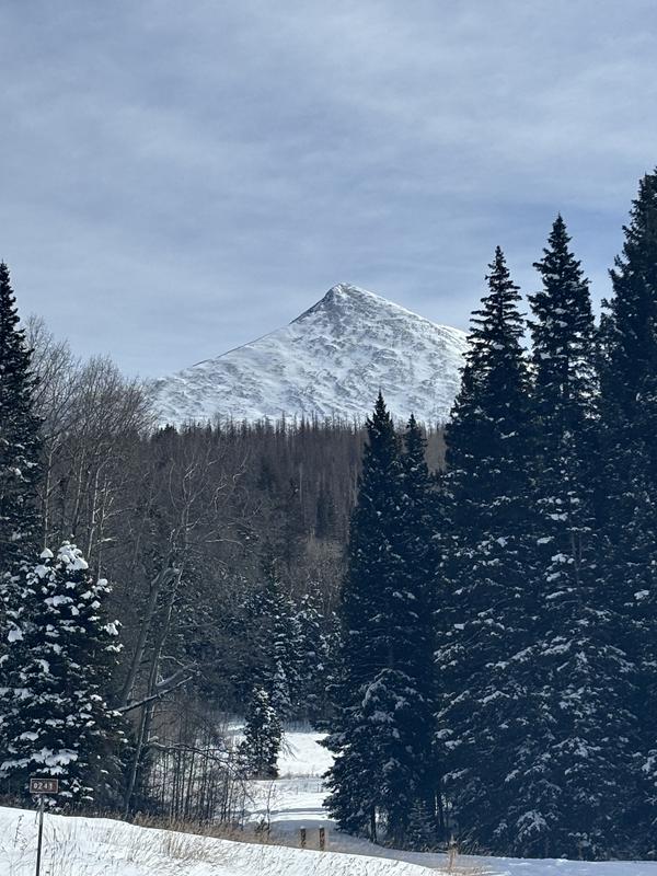
I did not go above treeline but it appeared there is wind drifted snow on southerly aspects and in gullies protected from the wind. I assume that is where your highest avalanche danger would exist.
Today's Observed Danger Rating
Low
Tomorrows Estimated Danger Rating
Low
Coordinates


