Join us at our 2nd Annual Blizzard Ball

Observation: Moab

Observation Date
11/9/2024
Observer Name
Chris Benson
Region
Moab
Location Name or Route
Mann's Peak
Weather
Sky
Few
Wind Speed
Light
Weather Comments
Wind was steady along ridgetop, keeping things cold. Sheltered areas were getting warm with moist snow surfaces.
Snow Characteristics
New Snow Depth
10"
New Snow Density
Medium
Snow Surface Conditions
Powder
Wind Crust
Melt-Freeze Crust
Snow Characteristics Comments
The height of snow varied from 20-45cm. Ski pen was only 5-10cm, as the surface was a combination of melt-freeze and wind crust. Overall, southerly aspects had more snow as wind from the north has transported this week's storm snow. Dug a pit near treeline on an East aspect and found older, weaker snow under the dense newer snow (see profile). In terms of ski quality, found supportive, half-way decent snow on a Southeast aspect from the summit of Mann's Peak. No cracking or collapsing, but one small slide on a West aspect on Tomasaki- unsure of when this happened.
Towards the end of the day, things were heating up and observed several roller balls on sunny aspects. Temperature profile suggest snow is bonding and continues to settle. According to the upper Snotel site, there is about 3" of SWE in about 1' so something like 25% density for the snowpack. It almost feels like a spring situation, with very supportive, dense snow underfoot. Hit a couple of rocks, so still need to ski very carefully.
Red Flags
Red Flags
Recent Avalanches
Wind Loading
Rapid Warming
Avalanche Problem #1
Problem
Persistent Weak Layer
Trend
Decreasing Danger
Problem #1 Comments
Some faceted snow at the base of the snowpack. Got a CT13 SC at the facets, but it seems that there isn't a cohesive slab (ECTX and ECTN).
Avalanche Problem #2
Problem
Wet Snow
Trend
Same
Problem #2 Comments
As the day heated up, noticed roller balls and sticky snow.
Snow Profile
Aspect
East
Elevation
11,700'
Slope Angle
30°
Comments
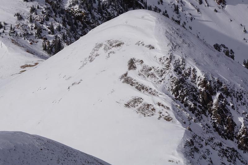
Pretty good coverage on SE aspect of Manns Peak.
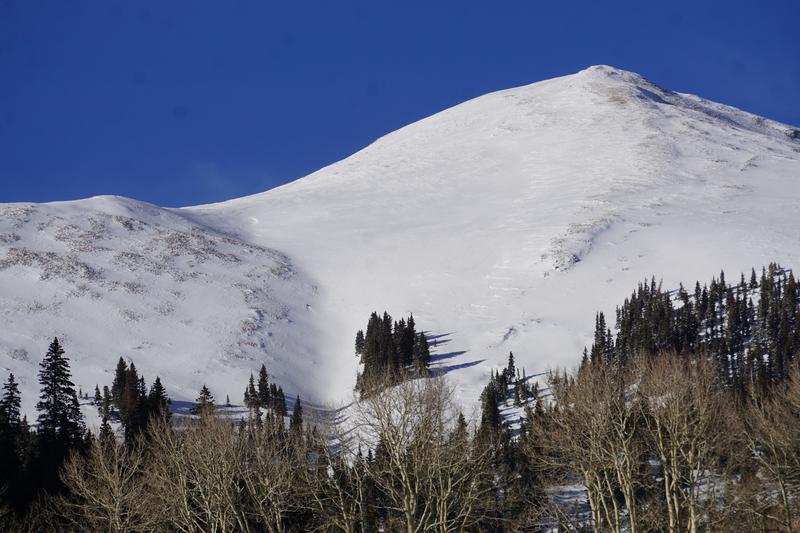
Wind-stripped N face of Mt. Mellenthin
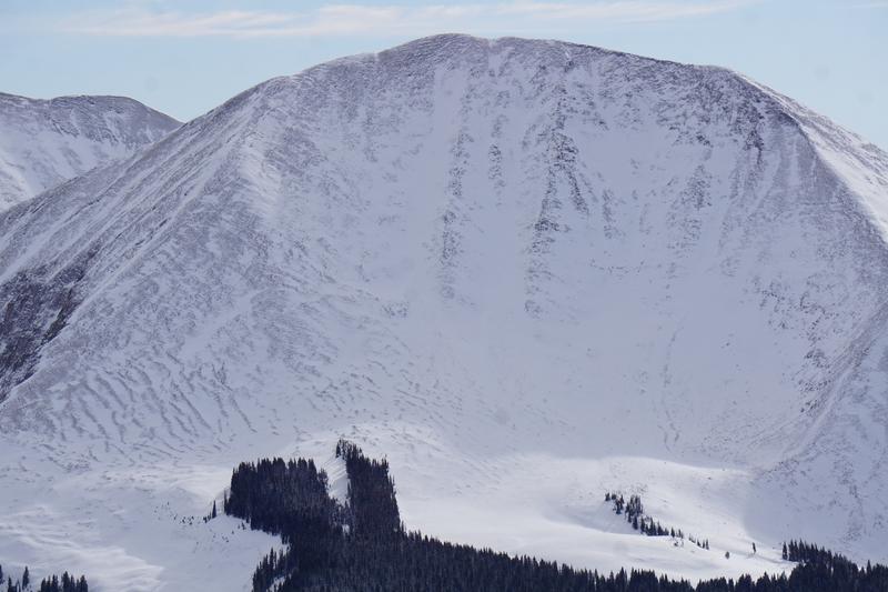
Wind textures on small peak just north of Manns Peak. Most snow looked like it had been loaded onto SW aspects from previous wind transport, but in other areas, westerly and northwesterly winds have loaded southerly aspects. Zoomed out photo shows coverage in Miner's Basin.
Today's Observed Danger Rating
Low
Tomorrows Estimated Danger Rating
Low
Coordinates