Observation Date
11/4/2024
Observer Name
Chris Benson
Region
Moab
Location Name or Route
Laurel Hwy_ Coyote Chute
Weather
Sky
Few
Wind Direction
North
Wind Speed
Light
Weather Comments
Wind was transporting snow until about 11:00 am. Skin track had filled in a bit.
Snow Characteristics
New Snow Depth
5"
New Snow Density
Medium
Snow Surface Conditions
Dense Loose
Wind Crust
Damp
Snow Characteristics Comments
The 5" of new snow was being pushed around by some cold north winds. Snow depth varied- sheltered polar aspects had 40-45cm of snow (see snow profile). Southerly aspects were more shallow and contained a basal mf crust and recent, wind transported snow (near ridge lines). Winds died down and temps ramped up around noon. Clouds came in and perhaps made for some green house conditions.
Red Flags
Red Flags
Poor Snowpack Structure
Red Flags Comments
Pit near treeline on North aspect revealed weak faceted snow. Not an issue now, but will be a problem with a cohesive slab.
Avalanche Problem #1
Problem
New Snow
Trend
Decreasing Danger
Problem #1 Comments
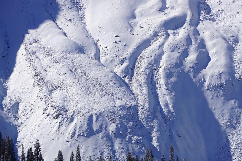
Several small dry loose avalanches were observed.
Snow Profile
Aspect
North
Elevation
11,300'
Slope Angle
22°
Comments
Was curious just how fast the snow can recrystallize. It looks like the two storms from October have already begun to weaken and recrystallize into faceted grains.
Video
Pretty thin out there- although I did talk to someone who went "cat skiing" in the north woods (they actually had a cat in their backpack).
Probably need another foot or so before skiing transitions into "type-1" fun.
Video
Today's Observed Danger Rating
None
Tomorrows Estimated Danger Rating
None
Coordinates


