


Observation Date
3/3/2019
Observer Name
mark white
Region
Salt Lake » Parleys Canyon » Mt Aire
Location Name or Route
Mt Aire
Comments
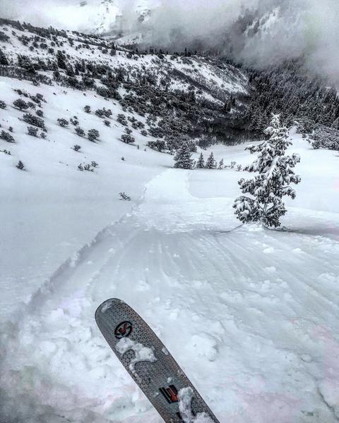
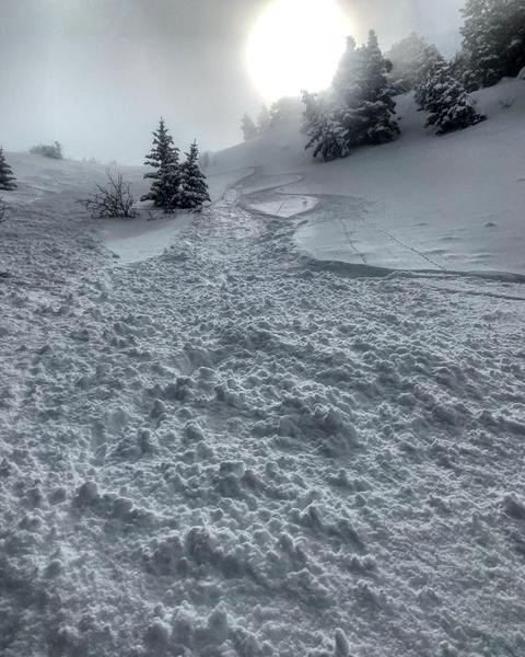
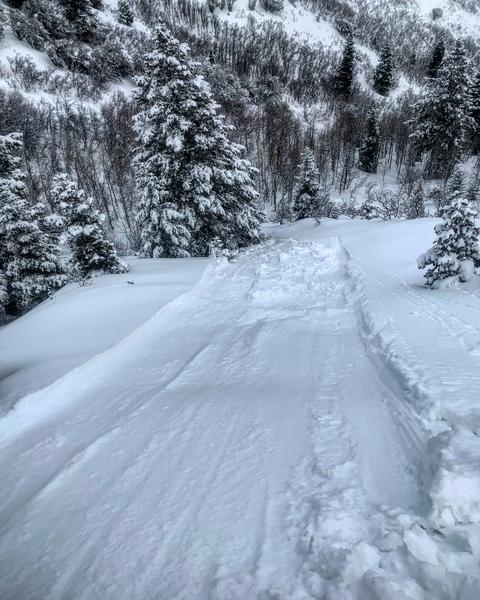
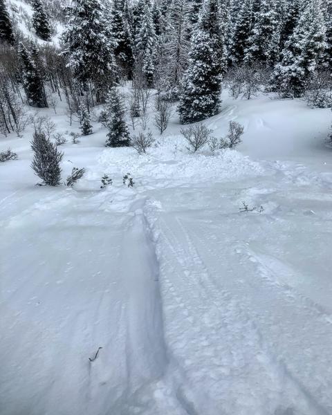
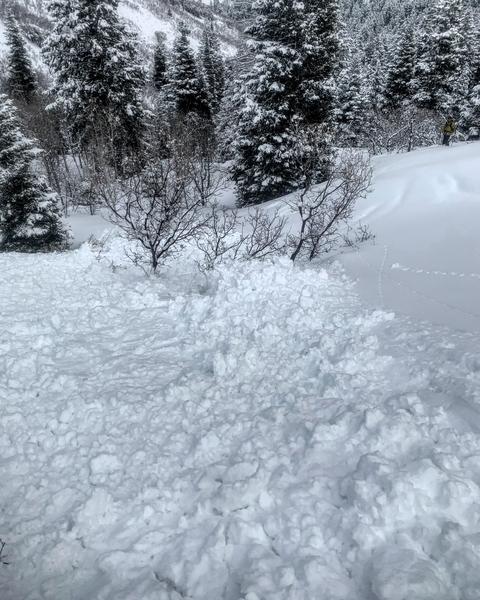
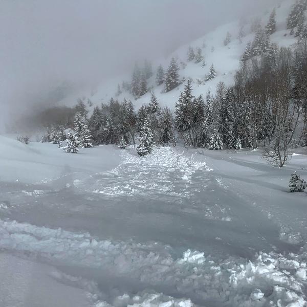
Went to Mt Aire today trying to avoid the weekend mayhem in the Cottonwoods. The area received almost a foot of light density snow in the last couple days with a soft spongy base underlying it on NE, N and NW, and a melt freeze crust on E and the S end of the compass. The main activity today was sluffing of the new snow, in the morning these sluffs were running on a density inversion about 6 inches down, they were running long distances and entraining quite a bit of snow and running at a good speed, and could easily knock you off your feet if you weren’t paying attention. These sluffs were running in most of the terrain covered even in the only moderately steep terrain, but easily dealt with with proper ski cuts. Around 1:30PM the sun poked out for a moment in the thin clouds instantly green housing and causing all aspects to go off. As soon as the snow got damp the dry sluffs from a few hours earlier were a thing of the past and now the wet sluffs became a player, they would start in the new snow then step down to the old snow surface from before the storm. The wet slides were slower than the dry ones but packed much more of a punch with heavy snow capable of pushing you into trees or off a cliff. I would think the dry sluffs will be a thing of the past tomorrow, but if the sun comes out the wet activity might spike.
Photos: the first three are dry sluffs in the AM, with a video, then wet pushalanches in the PM

Video
Today's Observed Danger Rating
Moderate
Tomorrows Estimated Danger Rating
Moderate