Forecast for the Ogden Area Mountains

Paige Pagnucco
Issued by Paige Pagnucco on
Wednesday morning, April 9, 2025
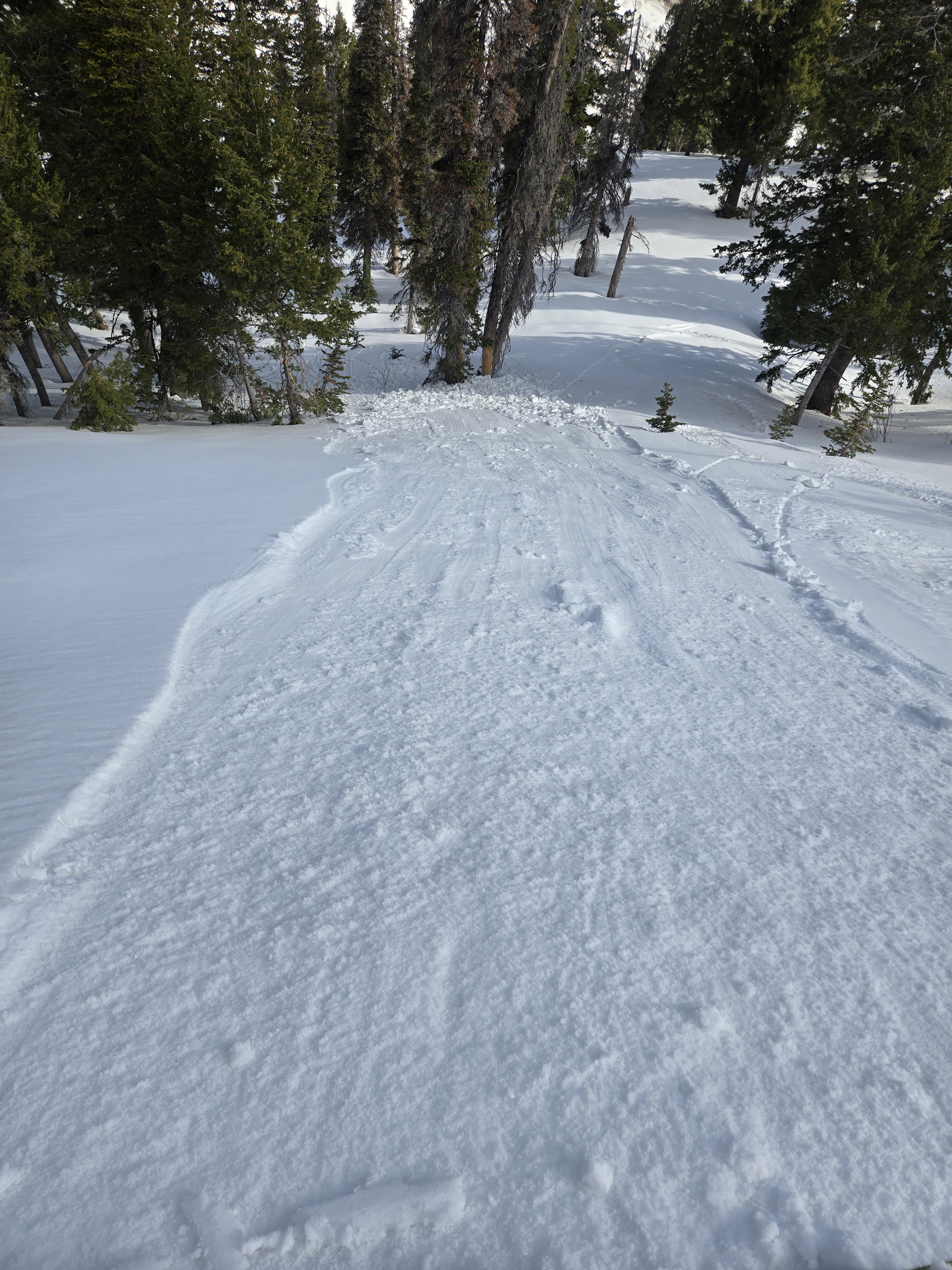
The snowpack is generally stable and the avalanche danger is LOW this morning. With strong sunshine and daytime warming, the danger could rise to MODERATE as the snow dampens. Stay off of and well away from overhanging cornices as they may break back much further than expected.
As always, practice safe travel protocols by exposing only one person at a time in avalanche terrain.
Low
Moderate
Considerable
High
Extreme
Learn how to read the forecast here
Special Announcements
Motorized Users—Please consider taking this 5-minute survey to help researchers better understand avalanche education participation and safety preparedness. Responses are anonymous and confidential.
Weather and Snow
This morning, mountain temperatures range from the mid 30s F to the mid 40s F and light to moderate winds are blowing from the west-northwest along exposed ridgelines.
Today will be mostly sunny and warm with an 8,000' high around 50°F. A west to northwesterly flow aloft will remain in place with occasional high clouds and light to moderate winds. High pressure will build into the area tonight, remaining in place through the week.
Recent Avalanches
Derek DeBruin kicked off this shallow loose wet avalanche yesterday on Cutler Ridge. (PC: DeBruin)
Check out all recent observations and avalanches HERE.
Ad
Avalanche Problem #1
Wet Snow
Type
Location
Likelihood
Size
Description
The snowpack is generally stable this morning and natural and human-triggered avalanches are unlikely. I am hoping the northwesterly flow, light to moderate winds, and not-boiling temperatures will help keep wet activity in check today. But, the sun is strong and mountain temperatures did not get below freezing last night. If you start sinking into saturated snow above your ankles, it is time to move to a cooler aspect, elevation, or lower-angle terrain. Rollerballs and pinwheels are sure signs the snow is losing stability.
*Cornices are starting to calve off with the warm temperatures - stay off of and well away from overhanging cornices as they may break back further than expected.
Additional Information
Our regular daily avalanche forecasts will end this Sunday, April 13. After that, we will issue updates when necessary and publish public observations until May 1.
General Announcements
This information does not apply to developed ski areas or highways where avalanche control is normally done. This forecast is from the U.S.D.A. Forest Service, which is solely responsible for its content. This forecast describes general avalanche conditions and local variations always occur.