March Kicks Off Our Spring Campaign- Donate Now to Support Forecasting

Forecast for the Ogden Area Mountains

Greg Gagne
Issued by Greg Gagne on
Friday morning, March 7, 2025
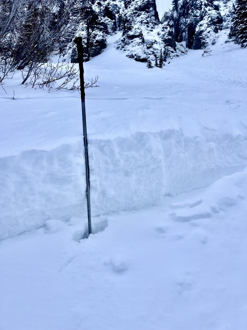
The avalanche danger is CONSIDERABLE on mid and upper-elevation slopes where human-triggered avalanches involving soft slabs of storm snow or wind-drifted snow 1-2 feet deep are likely. The avalanche danger is MODERATE at low elevations.
Today will be a brilliant day and the low-density snow from overnight will offer superb riding conditions on slopes less steep than 30°.
Low
Moderate
Considerable
High
Extreme
Learn how to read the forecast here
Special Announcements
March kicks off our Spring Campaign! If everyone in Utah’s backcountry community donates the cost of something they regularly enjoy on an adventure—like a dawn patrol burrito, a backpack snack, or post-ride trailhead drinks—we could fund not just one but two forecasters for the entire season! Donate here. Thank you!
Weather and Snow
As of 5 am, temperatures are in the teens and winds are blowing from the west/northwest, gusting into the 20's mph at the highest elevations along the Ogden Skyline. 2-4 inches of new snow has fallen overnight, with 24-hour totals of 8-12 inches.
For today, expect light snow showers, with 1-3 inches of new snow possible. Temperatures will rise into the upper 20's F and winds will be from the northwest and veering northerly, blowing 15-20 mph along exposed ridgelines.

March is our snowiest month and the upcoming weather forecast seems to support this. Sunny and warm this weekend, with an active storm pattern looking to return early next week.
Recent Avalanches
We received no reports from the backcountry in the past few days, although snow safety teams from Ogden resorts reported sensitive conditions on Thursday, with soft slabs running within recent storm snow interfaces.
Ad
Avalanche Problem #1
Wind Drifted Snow
Type
Location
Likelihood
Size
Description
Winds over the past 24 hours have drifted snow on all aspects, especially at the upper elevations. This avalanche problem may be more subtle than usual: in field work yesterday, UAC forecasters noted even the slightest hint of wind-drifting created a sensitive soft slab. Watch for cracking as an indication of sensitive conditions.
Avalanche Problem #2
New Snow
Type
Location
Likelihood
Size
Description
Soft slabs of storm snow may be sensitive today, failing within one of many different density changes that exist in the 1-2 feet of the recent storm snow, as shown in the photo below. The low-density snow from overnight may also create long-running sluffs. Although snowfall is only expected to be showery today, natural avalanches may be possible during any period of heavy snowfall
Additional Information
In the very southern end of the Ogden area mountains (Farmington-Bountiful Sessions), upper elevation northwest to east facing terrain requires more caution. A buried PWL (persistent weak layer) can be triggered with enough new snow and wind.
General Announcements
This information does not apply to developed ski areas or highways where avalanche control is normally done. This forecast is from the U.S.D.A. Forest Service, which is solely responsible for its content. This forecast describes general avalanche conditions and local variations always occur.