


Observer Name
K
Observation Date
Friday, January 10, 2025
Avalanche Date
Friday, January 10, 2025
Region
Salt Lake » Big Cottonwood Canyon » Mineral Fork » East Mineral
Location Name or Route
Mineral Fork, Low East Facing
Elevation
8,900'
Aspect
North
Slope Angle
Unknown
Trigger
Natural
Avalanche Type
Soft Slab
Avalanche Problem
Persistent Weak Layer
Depth
3'
Width
70'
Vertical
400'
Comments
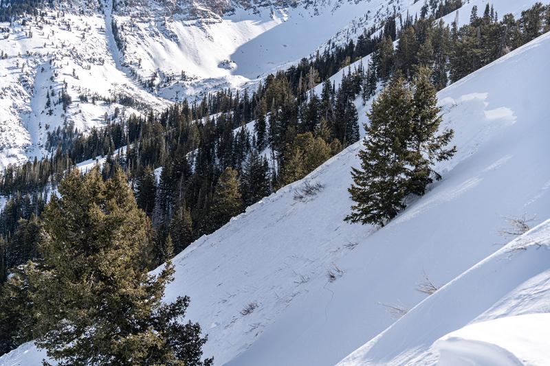
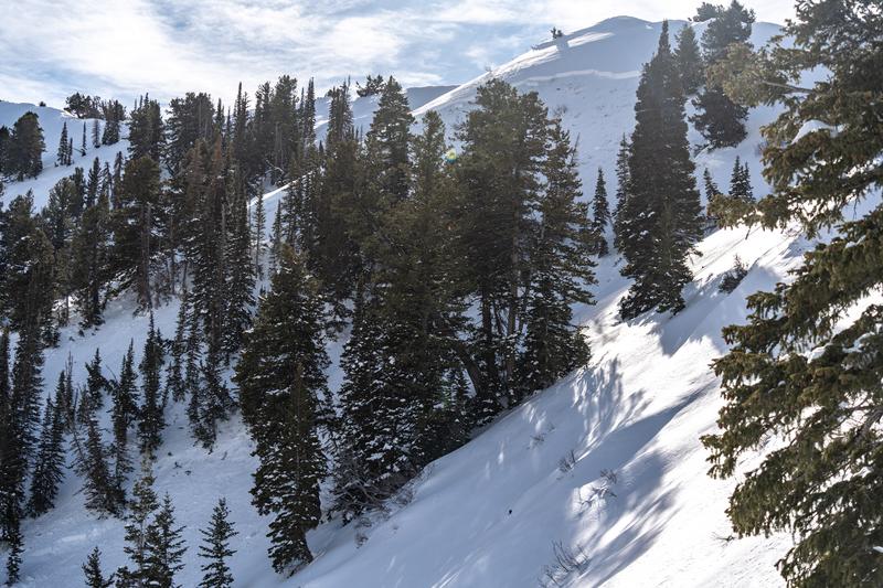
I think I saw this avalanche already posted in mineral, but got a few better photos of it. There was a skinner going up the ridge, so it's possible this was remotely triggered.
A bit hard to tell with all the trees in the way of the photo, but the crown went quite far down following the ridge. The slide likely propagated ~400ft vertical (based this off a topo map where I noticed the debris pile at the bottom).
Coordinates