Observation: Franklin Basin

Observation Date
12/16/2024
Observer Name
Schumacher
Region
Logan » Franklin Basin
Location Name or Route
Franklin Basin
Weather
Sky
Overcast
Wind Direction
Southwest
Wind Speed
Moderate
Weather Comments
Calm to light winds out of the south increasing to moderate with gusts of strong out of the SW at upper-mid elevations as the day progressed. Some snow being transported, although less than expected (much of it may already be transported?). cloud cover increasing and thickening throughout the day.
Snow Characteristics
New Snow Density
Medium
Snow Surface Conditions
Powder
Snow Characteristics Comments
About 6" of settled snow from this past storm sitting on surface hoar and facets (larger closer to the ground) on polar aspects and sitting on a hard melt freeze crust/ rocks and ground on solars. In general, it's thin and tough travel.
Red Flags
Red Flags
Recent Avalanches
Wind Loading
Cracking
Collapsing
Poor Snowpack Structure
Red Flags Comments
Had several predictable collapses on test slopes up to 8500’ and cracking throughout the day. General structure, especially on protected polar slopes, is poor with fist hard facet layer supporting a fist plus (and settling) new snow layer (slab). Solar aspects had a much more favorable structure, but with about a third of the snow and variable cover (and lots of rocks/stumps). Wind and actively transporting snow observed along with evidence of previous loading on many Lee slopes.
Snow Profile
Aspect
East
Elevation
7,700'
Comments
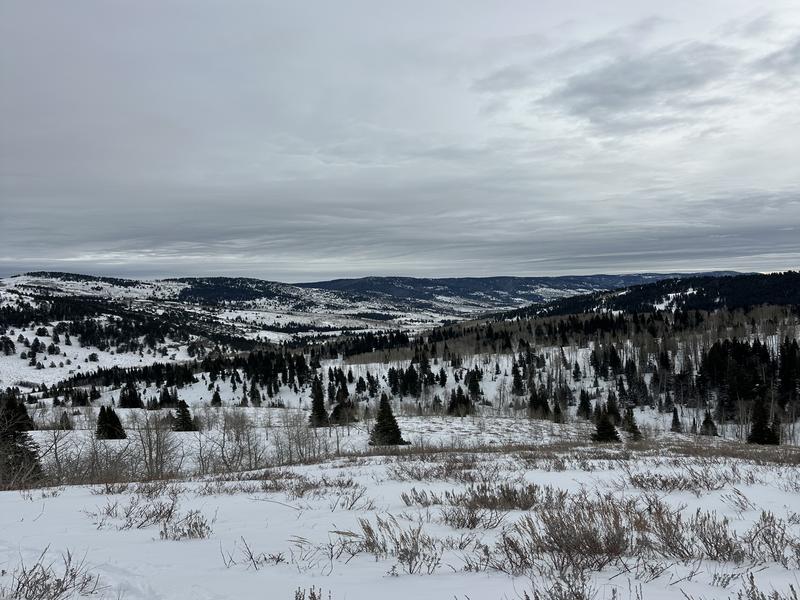
Photo 1: general zone coverage
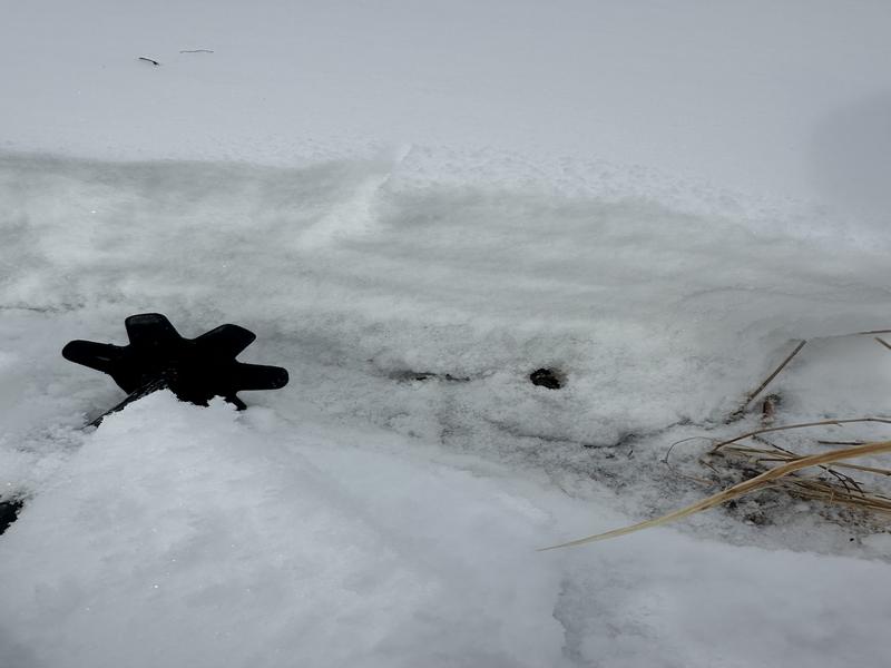
2: solar aspects profile (SSE @ 8000')
Today's Observed Danger Rating
Considerable
Tomorrows Estimated Danger Rating
High