Check out our Holiday Auction

Forecast for the Uintas Area Mountains

Craig Gordon
Issued by Craig Gordon on
Saturday morning, December 7, 2024
The avalanche danger is generally LOW and human triggered avalanches are UNLIKELY. Remember... it's low tide and there's a lot of reef barely hidden underneath the surface of our thin snowpack. In reality, you stand a better chance of slamming into a stump, rock, or deadfall than you do triggering an avalanche.
Low
Moderate
Considerable
High
Extreme
Learn how to read the forecast here
Special Announcements
Save the date and take a date to today's USAW!
-Today, Saturday December 7th, wraps up Avalanche Awareness Week at the University of Utah with our 17th annual Utah Snow and Avalanche Workshop from 4:00-7:45 PM . Deets and tickets HERE!
Weather and Snow
Nowcast-
Climb out of the valley gunk and you're greeted with clear skies and temperatures in the upper 20's and low 30's, though low laying trailheads where cold air pools decided to party by themselves and start their day in the teens. Northerly winds are reasonable and register in the mid teens at most ridgetop locations, while a few sites on the south half of the range near Currant Creek hum along at 20-30 mph.
Forecast-
High pressure spends one last day homesteading overhead today, delivering clear skies with temperatures climbing into the upper 30's and low 40's. Westerly winds ramp up towards the end of the day and should be blowing in the 30's, with a few gusts to 50 mph near the high peaks by about sunset.
Futurecast-
Our storm for late Sunday is a bust. Perhaps an inch or two of snow, colder air, and gusty winds. High pressure returns to the scene of the crime for most of the upcoming week, but there's a glimmer of hope for storminess to wrap up the work week. We'll keep ya posted as things evolve.
Current conditions-
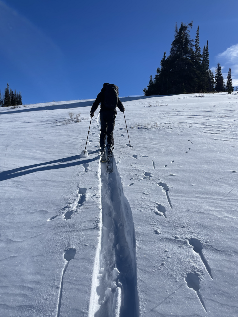
Snowpro Ted Scroggin was in the Double Hill zone and reports... "The access is a bit of a mixed bag with both wheels and tracks used to get out into the Whitney area. There is about 12-16" at the 9,000' elevation and travel off the road is thin, but folks are finding some ok snow to ride on with some supportability."
Get out of the valley gunk... since any day on the snow is better than a day spent organizing the garage :)
Additional obs and trip reports found HERE.
Recent Avalanches
No new avalanche activity since Wednesday, November 27th near Wolf Creek Pass with several remotely triggered avalanches breaking near the ground on our problem child, a persistent weak layer of snow or what we call PWL.
Archived avy activity found HERE.
Ad
Avalanche Problem #1
Persistent Weak Layer
Type
Location
Likelihood
Size
Description
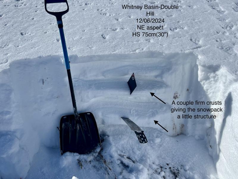
Ted's snowpit profile above from Double Hill suggests a bit of structure in areas where the snowpack is deepest, while shallow snowpack zones on lower elevation, shady slopes are turning into a weak, sugary, sandbox.
Our current setup-
There's miles and miles of terrain you can ride safely today. In fact, I think you'd be hard pressed to trigger a slide today. But... if you're hunting for an avy, especially on a steep, leeward slope in the windzone, all you need to do is find a thin spot in the snowpack, maybe around a bush or rock, collapse the slope, and now we're staring down the barrel of a moving piece of snow that could throw a curve ball at my day.
General Announcements
Additional Information
The Uinta weather station network was upgraded this summer and all that real-time info is found here. Simply click on the "Western Uinta" tab and then the "Weather Stations" tab to find all your weather needs.
We are always looking for snow and avalanche observations or just general riding conditions. So... if you see something, say something. You can reach our team directly by contacting Craig at craig@utahavalanchecenter.org, 801-231-2170, or Andrew at andy@utahavalanchecenter.org, or 860-460-8142.
General Information
This forecast is from the U.S.D.A. Forest Service, which is solely responsible for its content. This forecast describes general avalanche conditions and local variations always occur. This forecast was issued on Saturday December 7th at 0330 AM and expires 24 hours after it was issued. We will update the forecast by 07:00 tomorrow. But, in the meantime reach out to us with questions, or if you see anything in your travels.