Join us at our 2nd Annual Blizzard Ball

Forecast for the Salt Lake Area Mountains

Drew Hardesty
Issued by Drew Hardesty on
Tuesday morning, December 3, 2024
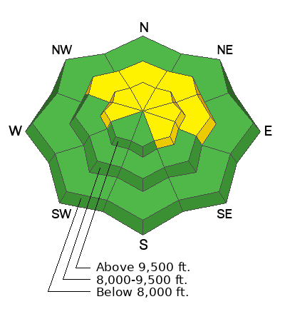
Localized areas of MODERATE avalanche danger exist on mid and upper elevation northerly to easterly facing slopes. Human triggered avalanches 1-2' deep and 100' wide remain possible.
With daytime warming, wet avalanches should also be on your radar today, particularly in steep, rocky terrain of the solar (east-south-west) aspects.
Low
Moderate
Considerable
High
Extreme
Learn how to read the forecast here
Special Announcements
The 17th Annual Utah Snow and Avalanche Workshop (USAW) is scheduled for Saturday, December 7th. Information and tickets are available here.
Park City Mountain Resort (PCMR) will be conducting explosive work and has closed its boundaries. Please respect these closures if you're along the PC ridgeline or adjacent to PCMR.
Weather and Snow
This persistent blocking ridge of high pressure is certainly taking its toll. As of now, there is only 1-3' of snow in the mountains and many low and mid-elevation solars have burnt back to the ground. We currently sit at roughly 60-80% of normal.
We have mostly clear skies and continued temperatures inversions. This morning, you'll find temps in the low 20s at the trailheads, and balmy temps up high in the the mid to upper 30s.
Today will be much like yesterday with mountain temps rising into the upper 30s to low 40s down low, the mid to upper 30s up high. Riding conditions remain thin and threadbare with plenty of sharks (rocks) in the water. Best to play the long game and find low angle grassy slopes with just enough snow.
The Outlook: fairly grim. At this point, I am as keen for a cold front to mix-out the smog and inversion in the valleys as much as I want new snow. Perhaps late weekend?
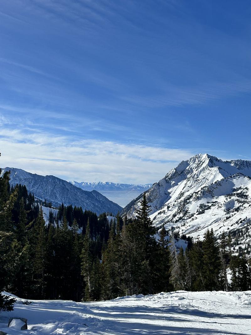
Always good to get out. Photo by Nikki Champion
Recent Avalanches
More wet loose natural avalanches ran than expected yesterday and I would imagine more of the same today.
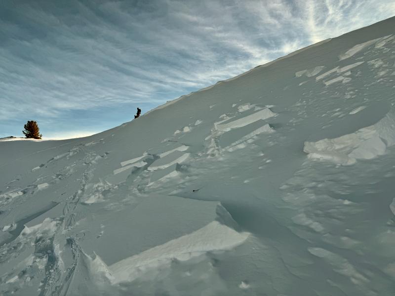
The last reported slab avalanche that failed on our early season Persistent Weak Layer PWL of weak cohesionless facets was on Saturday November 30th along the Park City Ridgline in South Monitor. Photo Bruce Tremper Below.
Ad
Avalanche Problem #1
Persistent Weak Layer
Type
Location
Likelihood
Size
Description
It is becoming less likely to trigger a soft slab avalanche that fails on our early season persistent weak layer of faceted grains. Again, the last reported backcountry avalanche on this layering was from Saturday and ski area avalanche teams found no results with explosives on this layering yesterday. Cracking and collapsing have largely diminished and snow tests are showing inconsistent results. Still, many of us with grey in our hair and beards all have stories of being surprised by persistent weak layers. Caution is still warranted if heading into steep northerly to easterly terrain of the mid and upper elevations.
You can find the list of these avalanches HERE>
General Announcements
This information does not apply to developed ski areas or highways where avalanche control is normally done. This forecast is from the U.S.D.A. Forest Service, which is solely responsible for its content. This forecast describes general avalanche conditions and local variations always occur.