Observation Date
11/20/2024
Observer Name
Champion & Miller
Region
Salt Lake » Big Cottonwood Canyon » Cardiff Fork
Location Name or Route
Cardiff Fork
Comments
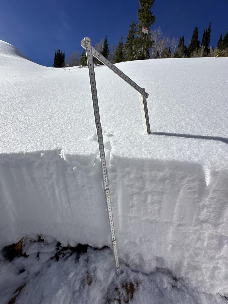
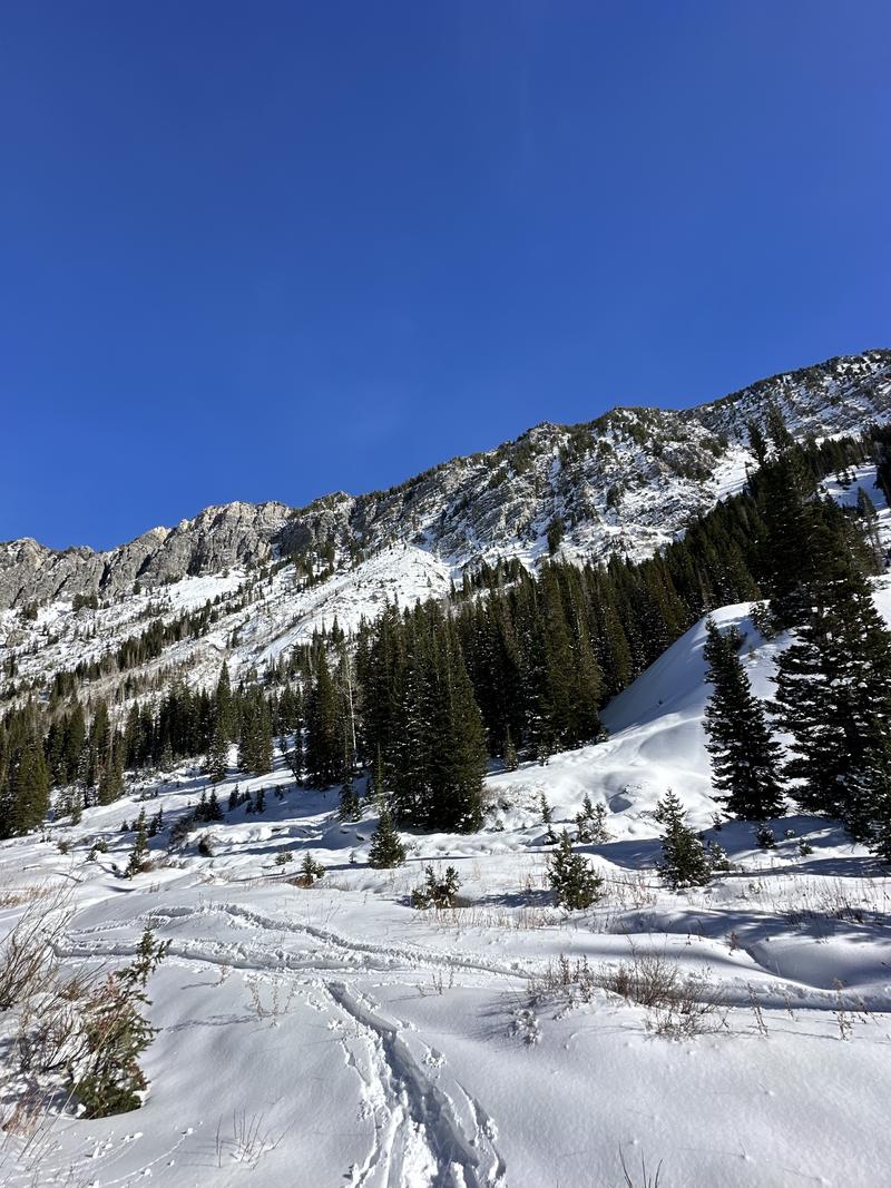
We primarily went out to assess snow coverage mid-canyon and in the upper reaches of Cardiff Fork. The snowpack is generally shallow mid-canyon, with depths ranging from 4–6 inches over bare ground, rocks, and vegetation, increasing to 25–35 inches higher in the canyon.
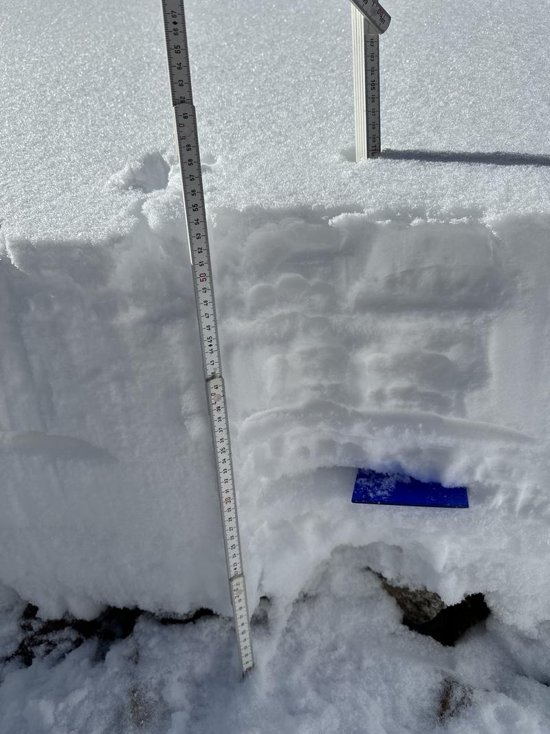
The snowpack contains multiple melt-freeze crusts from sun and warming periods between storms, with some weakening at those interfaces. The main concern lies in shaded terrain, where 10–20 cm of faceted grains are present near the ground. This faceting is more pronounced in rocky areas. While a snowpit revealed dry conditions and no obvious signs of propagation, this weak layer remains a concern as additional snow and wind load the pack in the coming days. Cold, dry temperatures will continue to drive faceting.
At upper elevations, winds appeared to be transporting snow along ridgelines and sub-ridges, creating noticeable mid-slope texture. Shallow wind slabs are likely forming in these areas and may rest atop the weak, faceting snow, potentially creating more cohesive slabs.
By 2 PM, small roller balls were observed on steep, lower-elevation slopes, suggesting that solar aspects may develop a crust by tomorrow morning.
Snowpit from an E-facing aspect near 8700':


Coverage photo:

Today's Observed Danger Rating
None
Tomorrows Estimated Danger Rating
None
Coordinates


