


Forecast for the Provo Area Mountains

Issued by Trent Meisenheimer on
Saturday morning, January 6, 2024
Saturday morning, January 6, 2024
The avalanche danger is MODERATE across all upper elevations. The two avalanche concerns for today are (1) sensitive shallow soft slabs of wind-drifted snow (2) sluffing (dry-loose avalanches). MODERATE danger means human-triggered avalanches are possible. Across the low and mid elevations, we have a LOW avalanche danger where triggering an avalanche is unlikely.
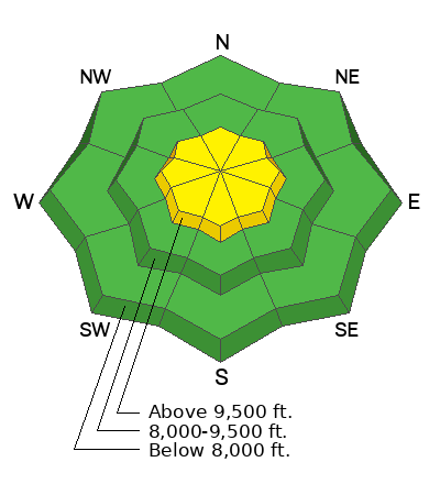
Low
Moderate
Considerable
High
Extreme
Learn how to read the forecast here
 Special Announcements
New UAC Product! Sign up HERE for forecast region-specific text message alerts. You will receive messages about changing avalanche conditions, watches, and warnings.
 Weather and Snow
Under cloudy skies, we welcome back the return to winter. Current mountain temperatures are cold and range from the single digits to 16 °F. Winds have been on their best behavior and blow from the west-north-west at 5-10 mph with the occasional gust into the 20s. In the past 48 hours, the Provo mountains basically were skunked with only 1-2 inches of new snow.
As one storm exits, we have another one on tap that currently sits off the Oregon coast. Winds are currently from the west-north-west this morning and are generally calm. However, as the next storm approaches, the winds will begin to back to the southwest and are forecast to blow 15-20 mph, gusting into the 20s at 700 millibars (10,000') by about the lunch hour. These southerly winds will be increasing through the day and will peak a couple of hours after sundown. Clouds will be increasing throughout the day as well, with isolated snow showers at times. Temperatures will climb into the upper teens to low 20s °F.
Around 7:00 PM tonight, the next wave of snow should begin to fill in across northern Utah. The strongest snowfall will be associated with the frontal passage Sunday morning, and we could see another 8-15 inches of new snow by Monday morning.
 Recent Avalanches
No new avalanches were reported from yesterday. Read recent observations from the backcountry HERE.

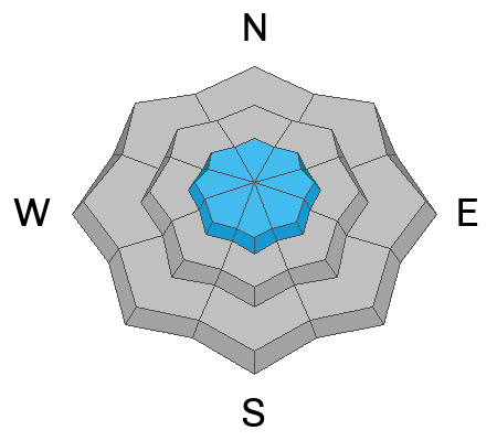
Avalanche Problem #1
Wind Drifted Snow
Type
Location
Likelihood
Size
Description
Our new snow has fallen straight out of the sky, and even though we have plenty of weak snow out there, it's fluff on fluff (for now). This morning, the winds are generally calm. However, as our storm approaches this afternoon, the winds will begin to blow from the southwest at speeds of 15-20 mph across the upper-elevation terrain.
Even though there is not a lot of new snow available for transport, I would still be on guard for any active wind drifting and avoid those slopes. These soft slabs of wind-drifted snow could be 6-12" deep. Cracking and collapsing are bulls-eye clues to unstable snow.
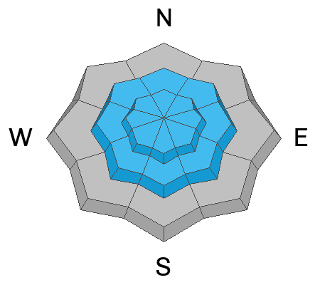
Avalanche Problem #2
New Snow
Type
Location
Likelihood
Size
Description
Yesterday, during my field day, we could easily initiate the new low-density snow into sluffing on the steeper terrain. As the new snow traveled downhill, it would gouge into the old weak snow and pick up some volume. These dry-loose (sluffs) avalanches traveled well into the flats.
If you're getting onto steeper terrain today, remember to watch your sluffs and be sure not to get tangled up in them.
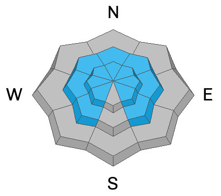
Avalanche Problem #3
Persistent Weak Layer
Type
Location
Likelihood
Size
Description
Over the past month, we've seen very little snowfall, mainly clear skies and cold temperatures. This has created very weak and faceted snow across northern Utah. Unfortunately this weak snow is now buried and preserved a couple inches deep. As more snowfall (weight) is added to our snowpack, it will only be a matter of time before conditions become deadly.
However, for today, there is not enough weight (unless there is wind loading) to affect our faceted snow. This will change in the coming days and will likely be a problem for us for the foreseeable future.
Video: Trent Meisenheimer talking about the current snow structure and what we can expect.
General Announcements
This information does not apply to developed ski areas or highways where avalanche control is normally done. This forecast is from the U.S.D.A. Forest Service, which is solely responsible for its content. This forecast describes general avalanche conditions and local variations always occur.