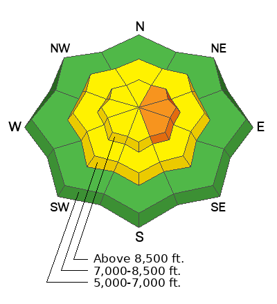
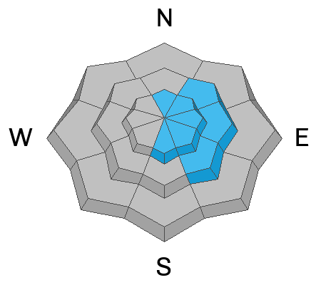
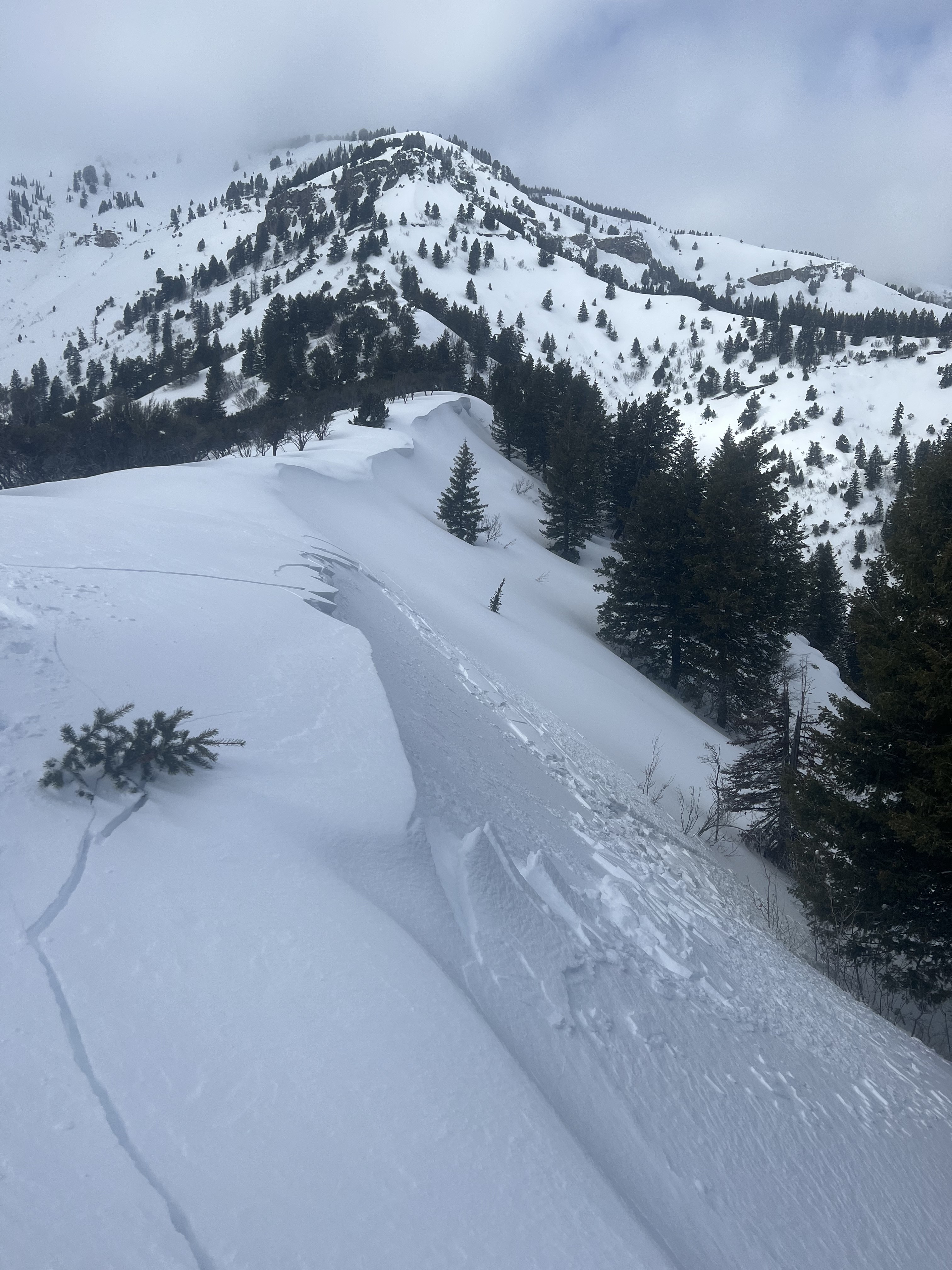
Heightened avalanche conditions exist currently in drifted terrain where people could trigger avalanches of wind drifted snow, but the danger is much less where the snow was not affected by the wind. I found stable conditions and nice fast shallow powder in sheltered terrain in the Central Bear River Range yesterday, with the best riding in lower angle terrain. Expect a windy storm today with periods of heavy snow, but mainly blowing snow causing increasing avalanche danger.
Winds at the CSI Logan Peak weather station are blowing from the west at around 27 mph, and it's 17° F at 9700'. The Tony Grove Snotel at 8400' reports 21° F and 99 inches of total snow.
Today, snow is likely with 4 to 8 inches of accumulation possible on upper elevation slopes. Expect increasingly strong winds blowing from the west, high temperatures around 21° F, and wind chill values as low as -7° F.
Tonight, snow should taper off and It'll be mostly cloudy and windy, with low temperatures around -1° F and gradually decreasing north winds producing wind chill values around -15° F.
Tomorrow will be mostly sunny and cold, with wind chill values starting out as low as -17° F. High temperatures are expected to reach 21° F, and northwest winds will switch around from the west-southwest in the afternoon.
The rest of the week and heading into the weekend will bring fairly quiet weather with some sun, a few clouds, and continued cool temperatures with daytime highs staying below freezing in the mountains.
No significant avalanches were reported this week, but observers report extensive cracking in wind affected terrain and a few small wind slab avalanches.
For a list of local avalanches go
HERE Find a list of all recent observations & avalanches from across Utah
HERE.


