

Observer Name
Eric
Observation Date
Monday, December 12, 2022
Avalanche Date
Monday, December 12, 2022
Region
Ogden » Ben Lomond » Cutler Ridge
Location Name or Route
Cutler
Elevation
7,500'
Aspect
Northeast
Slope Angle
37°
Trigger
Skier
Trigger: additional info
Intentionally Triggered
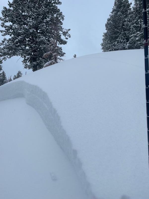
Avalanche Type
Soft Slab
Avalanche Problem
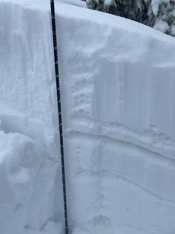
Persistent Weak Layer
Weak Layer
Facets
Depth
18"
Width
80'
Vertical
125'
Comments
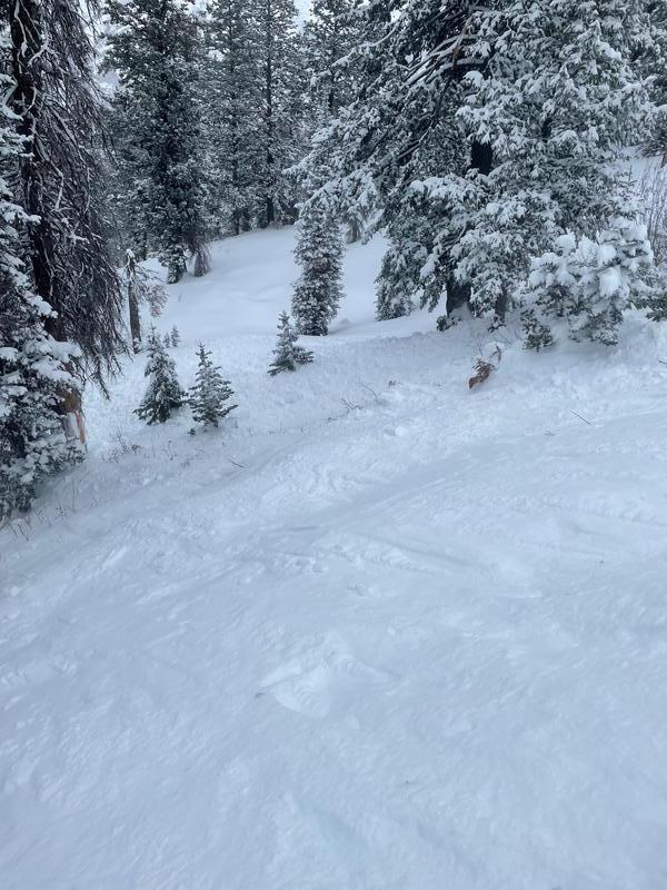
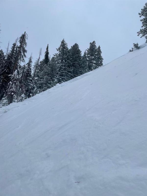
I released an approximate 75' wide, 18"-24" deep sized soft slab slide that ran about 100-150' long today while performing a poorly placed ski cut in route to a more favorable descent route.
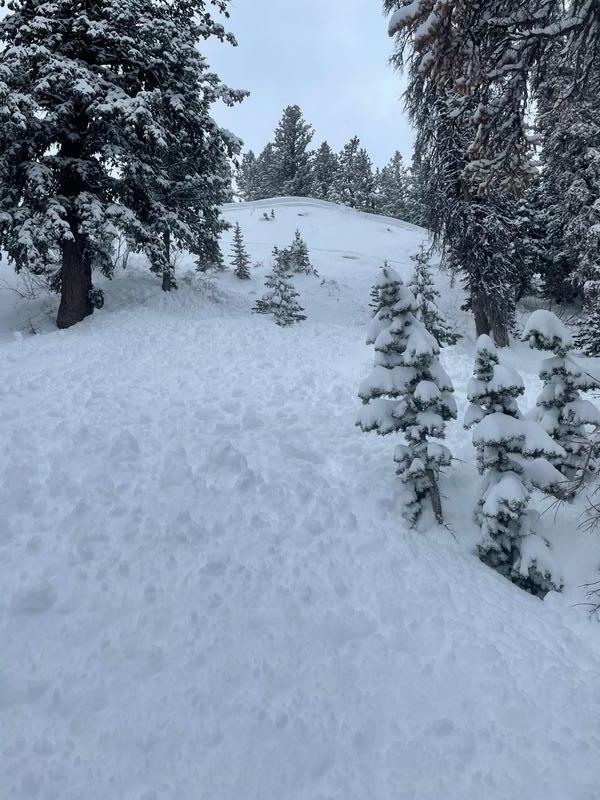
This was on a ridge to the NW of the weather station.
My plan was to ski the ridge down into trees and to cut the slope on my way over. I have seen this slope release multiple times. It seems to have the right combination of convex roll leading into a steeper section (35-38 degrees) along with terrain driven winds that must deposit close to the loading point on the convexity. Its a short shot, but can be dangerous as it drains into some trees.
It was the end of my day, and I made a tired and lazy decision that I was high enough up on the ridge to cut the slope.
The slope broke above me at the new snow old surface interface, then stepped down about 8-6" onto facets above what I believe is the old dry spell layer.
I was able to carry momentum and ski off to the north.
There was a small amount of hangfire left at the crown slope convexity, but not enough to worry me, so I went back to take a look and investigate the snow layering.
I made a really bad terrain management call, but this slide shows the fragility of the snowpack and the tricky layering we are experiencing.
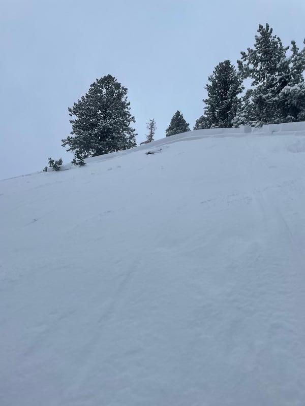
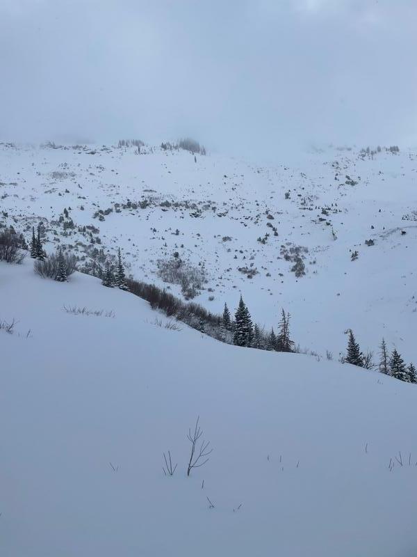
I added a pic of some slides/releases on the Lomond headwall.
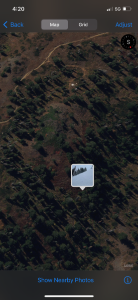


Coordinates