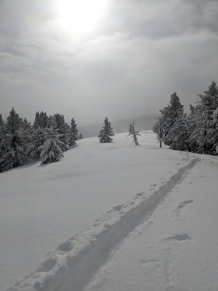
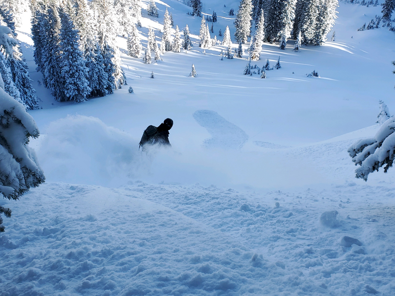
Today will be mostly cloudy in the mountains, and it looks like cool and rather dry weather will persist through the weekend and next week. Today, high temperatures at 8500' will rise to around 27° F and a gentle south wind will blow 8 to 14 mph on the ridges. Observers report good powder riding conditions and much improved coverage after the mountains picked up more than two feet of new snow with this week's storm.
Shallow early season snow conditions exist, with only about a foot-and-a-half of total snow covering the rocks on most upper elevation slopes before this week's snow. Although the heavy fresh snow keeps you off the ground, there are numerous shallowly buried land mines out there. Keep your speed down and caution is required to avoid hitting shallowly buried rocks, stumps, or down trees.
No new slab avalanches have been reported in the Logan Zone, but we've received reports of some activity in the Wasatch Range above Salt Lake City and Park City. See our updated list of Avalanches from across Utah
HERE 


