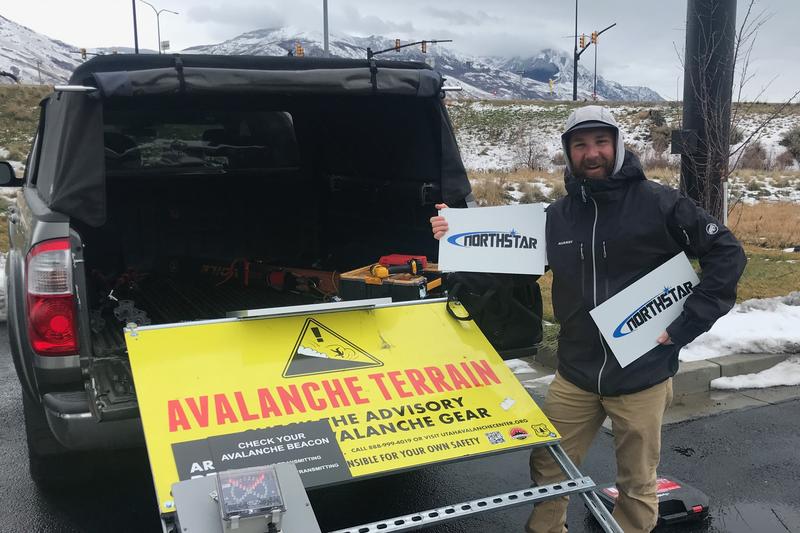
We took down the Franklin Basin Beacon Park and all the trailhead beacon checker signs yesterday. The park and signs are generously sponsored by Northstar - we really appreciate their continued support! Big thanks to Andy Checketts and Bill Chambers!
The 8400' Tony Grove Snotel reports 38°F this morning, and there is 53 inches of total snow at the site, containing 64% of normal SWE. West northwest winds are currently blowing around 19 mph at the 9700' CSI Logan Peak weather station with gusts in the 30's.
Spring conditions exist in the mountains right now with easy traveling and warm temperatures. We found excellent corn snow the past few days but today will be a little less enticing with a change in the weather on tap.
A dry cold front will move south through Utah today, bringing gusty winds and a return to cooler temperatures. Temperatures at 8500' will drop a few degrees from what they are now and westerly winds will blow 15-25 mph with gusts this afternoon in the 30's. There is a small chance for snow in the morning with clearing skies in the afternoon. A significant winter storm is possible Monday night into Wednesday, with unsettled and cold conditions continuing through the week.
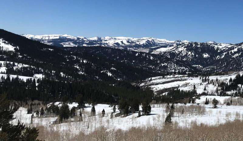
The high elevation slopes in the Bear River Range still have a thick blanket of snow - it's getting to them that's the problem. Trailheads are melting out making for a longer ride on pavement or dirt before hitting snow.
We observed a recent large, natural wet avalanche in upper Pine Canyon yesterday.
Check out all the recent backcountry observations and avalanche reports from across Utah
HERE.


