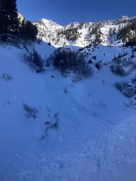
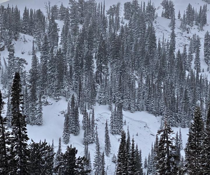
The weather and the air are much nicer in the mountains these days, and backcountry snow is supportable and stable. You'll find fast snow conditions and challenging areas with rock hard or variable and breakable crusts. While the snow is extra crunchy at lower elevations due to last week's rain storm, soft recrystallized surface snow can be found in sheltered shady terrain up higher, and sunny slopes are reported to be smooth and "buttery".
Here is what we found on Thursday in the Cornice Ridge Area, west of Tony Grove Lake.
The 8400' Tony Grove Snotel reports 29°F this morning and there is six feet of total snow. Winds out of the west-northwest are blowing around 20 mph this morning at the CSI Logan Peak weather station. Expect fair weather in the mountains again today, continuing through tomorrow. High temperatures at 8500' will be around 34°F today and will drop to around 14°F tonight. Tomorrow's weather will be similar to today's, with temperatures topping out around 35°F. Our next chance for a little snow comes in the middle of the week, with a few flakes possible on Wednesday.
It's been 3 weeks since the last natural avalanche failing on a buried sugary persistent weak layer occurred in the Logan Zone.
Providence Peak, 12-27-2021
Friday, an observer spotted some fresh minor loose wet activity in the Cherry Creek Area in the Mount Naomi Wilderness. More of this type of activity is likely during the heat of the day in sheltered sunny terrain and around rock outcroppings and cliff bands.

Check
HERE for all the latest observations and avalanche activity.


