Forecast for the Skyline Area Mountains

Brett Kobernik
Issued by Brett Kobernik on
Friday morning, March 26, 2021
The avalanche danger is generally LOW today. You can travel around through most terrain without the worry of triggering an avalanche.
The new snow should be mostly stable and shouldn't pose much threat.
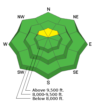
Continue to use caution in the highest steepest north facing terrain especially where the snowpack is thin. There is a remote chance that a person could trigger an avalanche that breaks to the ground in this terrain.
Low
Moderate
Considerable
High
Extreme
Learn how to read the forecast here
Weather and Snow
Current Conditions: We have light snowfall this morning. The mountains have picked up 3 to 5 inches of new snow since Thursday. Temperatures are about 20˚F and the wind is light from the southwest.
Mountain Weather: We'll see periods of light snowfall today tapering off this afternoon. I'm not anticipating all that much more accumulation. Perhaps a trace to a few inches more. Wind will shift to the northwest and increase late in the day. Temperatures will get into the mid to upper 20s. Saturday and Sunday look pretty sunny with a warming trend.
Ad
Avalanche Problem #1
Normal Caution
Type
Location
Likelihood
Size
Description
Avalanche conditions are fairly calm right now. The new snow came in without much wind so it should be pretty stable. Overall, the snowpack has gained strength recently. The mid and upper layers are quite strong.
Even the weak faceted sugary snow near the ground has increased in strength in many areas. That said, I would still avoid the steepest radical northerly facing terrain at the highest elevations. This is the location where there is a slight chance still that a person might trigger and avalanche that breaks to the ground. Very steep slopes with a shallow snowpack of only 3 to 4 feet deep are the most likely places to find trouble.