Spring Awareness Campaign - Help us save lives through avalanche forecasts and education. Consider making a donation to show your support.
HEREIt's 27°F this morning at the 8400' Tony Grove Snotel, and there is a couple inches of new snow from yesterday evening's squall. There is 68 inches of total snow with 80% of normal SWE. It's 22°F and north winds are blowing 5 to 10 mph at the 9700' CSI Logan Peak weather station. We're expecting sunny skies today, high temperatures at 9000' around 36°F, and moderate easterly winds veering from the west in the afternoon. Daytime temperatures will increase a bit each day in the next couple, and we'll see fair spring weather conditions in the northern mountains through the end of the work week. Looks likely we'll see snow in the Logan Zone this weekend, starting Friday night and becoming heavy at times on Saturday, with 5 to 11 inches of accumulation possible on upper elevation slopes.
We are finding stable snow conditions and generally Low avalanche danger in the backcountry.

Spring is here in Cache Valley, but it's still transition season in the mountains and there is plenty of dry, layered snow. (Valley perspective, Wellsiville Mountains reflected in the Little Bear River)
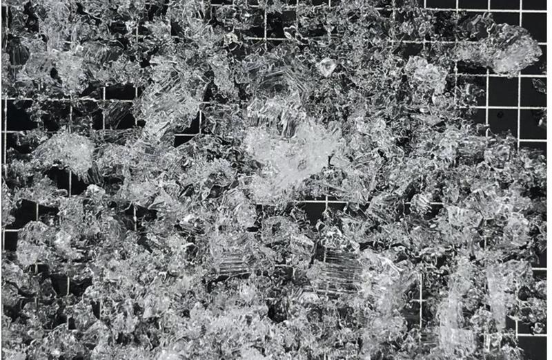
Areas with poor snow structure and dry weak sugary or faceted snow can still be found where the snowpack is thin, (around 3' deep or less), on the north side of the compass, on windward and mid-elevation slopes, slopes with grass and bushes showing, and in rocky, shallow terrain. Although unlikely, there is still a possibility that a person could trigger a dangerous avalanche on a very steep isolated slope in the Logan Zone.


 Paige found plenty of weak sugary or faceted snow in the Beaver Mountain Backcountry last weekend.
As daytime temperatures rise, softening the snow, the danger of wet avalanches will increase, so its a good idea to get in the habit of an early start and to plan on heading down before things get too sloppy.


