Forecast for the Abajos Area Mountains

Eric Trenbeath
Issued by Eric Trenbeath on
Monday morning, March 8, 2021
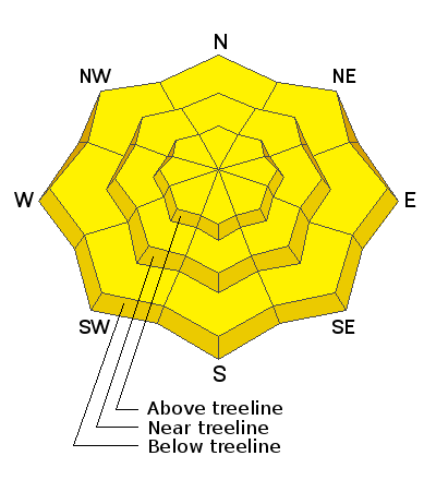
The avalanche danger remains MODERATE. Deep and dangerous human-triggered avalanches failing on a buried persistent weak layer remain the primary concern. These are becoming a low probability/high consequence problem. You are most likely to trigger one of these avalanches on steep terrain near and above treeline that faces NW through N through SE. Thin snowpack areas around rock outcroppings, sparse trees, or along slope margins are the most likely trigger points. As the day heats up we may some loose wet activity on sun-exposed slopes. Look for signs of instability such as roller balls and pinwheels, and get off of and out from under steep slopes if they become wet and sloppy.
Low
Moderate
Considerable
High
Extreme
Learn how to read the forecast here
Special Announcements
Weather and Snow
It's going to be a different kind of spring day today as "an aggressive little wave" (NWS quote) moves quickly through bringing clouds, flurries, and yes, wind! Overnight temps remained quite warm and we did not see a refreeze below 10,000'. Temps around 11,000' dipped into the 20's. Southerly winds cranked all night and will continue to do so today. Clouds should clear out later in the day and high temps will again rise into the mid 40's. Tuesday will me mostly sunny, warm, and breezy. A much anticipated cut-off low will begin moving inland and across the Great Basin on Wednesday. We'll see mostly cloudy skies followed by hopefully, some snow on Thursday.
Snow totals at Buckboard Flat (8924')
Snow totals at Camp Jackson (8858')
Snowpack Discussion
Spring-like conditions are in effect and the snow during the day will be a mixed bag of crusts and glop with dry snow on shady aspects. As the day heats up, wet avalanches will become more likely. Stay of off steep slopes that are unsupportable or that are wet and sloppy. Warm temperatures have helped to strengthen the snowpack and we are moving toward a low probability/high consequence situation for deep and dangerous avalanches. Weak, faceted snow can still be found on most aspects and stiff, hard slabs 1'-3' thick exist over this weak layer on slopes facing primarily NW-N-E-SE. Shallow areas, along slope margins and near rock outcroppings or sparse trees remain likely trigger points.
Conditions report from the La Sal Mountains:
Additional Information
Information on outdoor recreation - The State of Utah created this webpage with information about recreating on both state and federal public lands during the current health crisis.

New to the backcountry (including riding at closed resorts) - Watch the award-winning, 15 minute Know Before You Go video, or take the 5-part, free online-learning series.
General Announcements
This forecast is from the U.S. Forest Service, which is solely responsible for its content. This forecast describes general avalanche conditions and local variations always occur.