Forecast for the Moab Area Mountains

Issued by Eric Trenbeath on
Saturday morning, February 27, 2021
Saturday morning, February 27, 2021
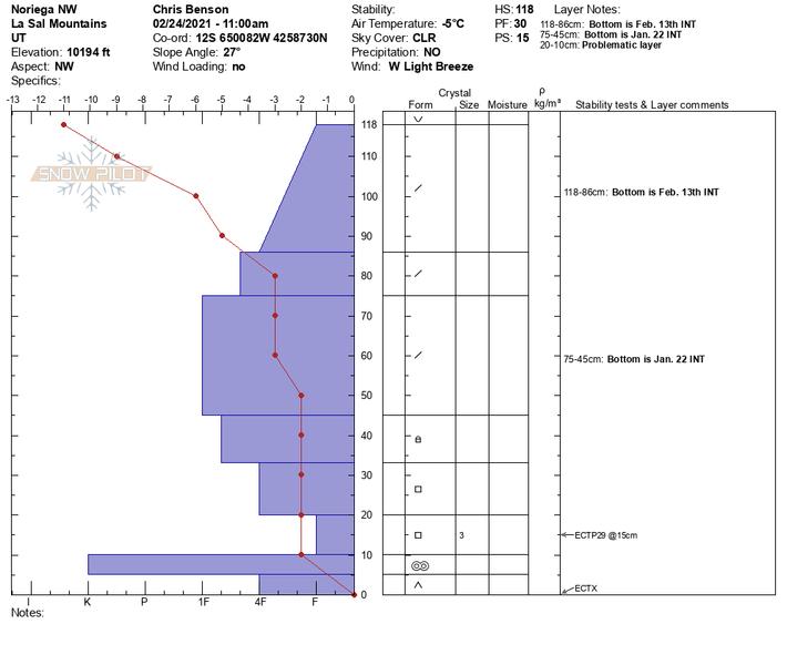
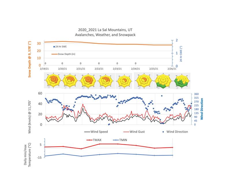
The avalanche danger remains a solid MODERATE although a few inches of new snow with wind has slightly elevated the danger. Look for sensitive fresh drifts on the leeward sides of ridge crests and terrain features on all aspects, primarily at upper elevations. Of greater concern is the very real possibility of triggering deep and dangerous avalanches failing on a buried persistent weak layer. You are most likely to trigger one of these avalanches on steep terrain facing NW-N-SE. The danger increases with elevation where wind drifted snow has added stress to buried persistent weak layers. Thinner snowpack areas near rock outcroppings, sparse trees, or along slope margins are the most likely areas to trigger an avalanche. Most S-SW facing terrain near treeline and below has LOW danger.

Low
Moderate
Considerable
High
Extreme
Learn how to read the forecast here