Observer Name
Andrew Nassetta, Tyler Pirrucio
Observation Date
Thursday, December 31, 2020
Avalanche Date
Thursday, December 31, 2020
Region
Uintas
Location Name or Route
Left Fork Currant Creek
Elevation
9,500'
Aspect
Northeast
Slope Angle
38°
Trigger: additional info
Remotely Triggered
Avalanche Type
Soft Slab
Avalanche Problem
Persistent Weak Layer
Weak Layer
Depth Hoar
Depth
2'
Width
200'
Vertical
300'
Comments
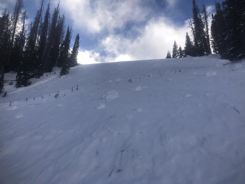
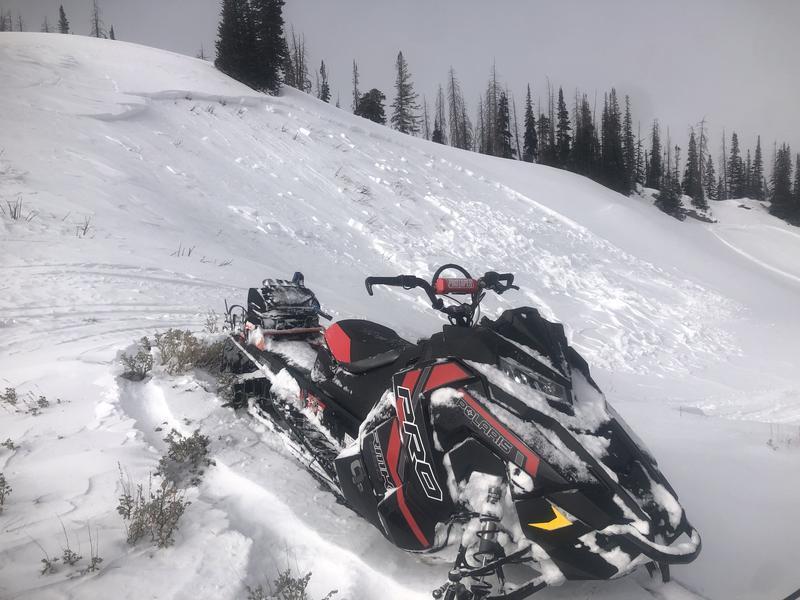
We traveled to Currant Creek today via Mill Hollow. Visibility was in and out all day and made for difficult travel at times, when it did part we continued traveling and found the most notable piece of activity from the day. We scoped this slide in from the Dueschene ridge and made great time late in the day to the site with the help of my partner Tyler's great technical route-finding in low tide conditions. Along the way we found a few other pieces of snow that moved around, they can be seen in the images included.
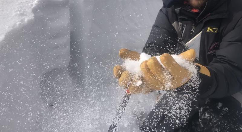
This was the most evident piece of avalanche activity of the day that we came across. The avalanche, SS-ARu-R2-D2-O, failed on facets on top of a pencil--->ice bed surface that was found widespread throughout mid to upper elevations on NW through SE aspects. Although the largest of the day, all of the other avalanches we observed today were found on the NE through E aspects as well, shared similar snow structure, and were failing on a layer of either NSF about a 25cm down , or closer to the ground on rotten faceted snow from November.
Comments
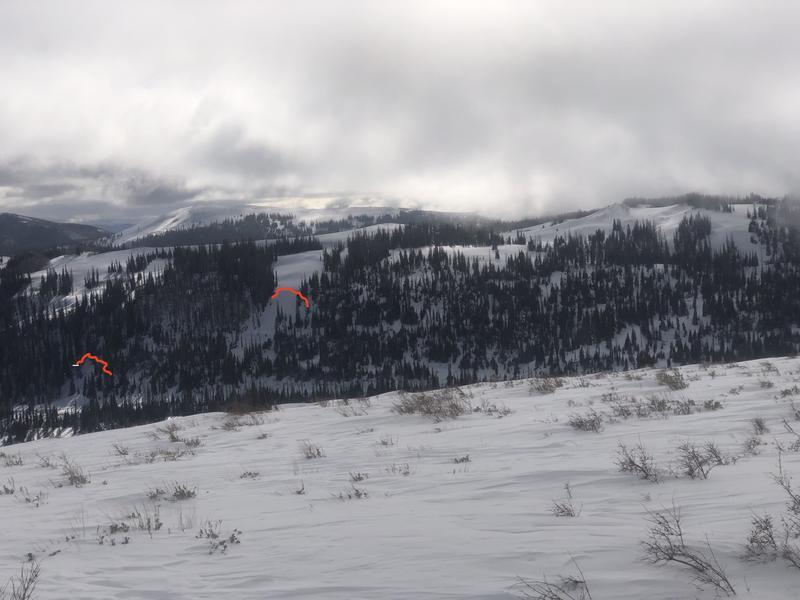
Approaching from the North, you can see another avalanche that occurred days prior, on a similar slope in aspect and elevation, highlighted by the red line to the left in the image. We believe the noted slide was remotely triggered from the gentle slopes above the avalanche path where multiple sets of tracks were spotted.
Comments
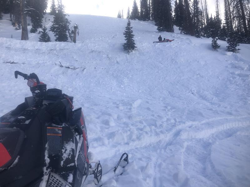
Looking up from the toe of the debris where you can see my partner Tyler mid-slope on the bed surface. He is set-up on a road cut (FS-627) where the debris stacked up 2-3 meters, and then carried on to its final resting place where the photo was taken.
Comments
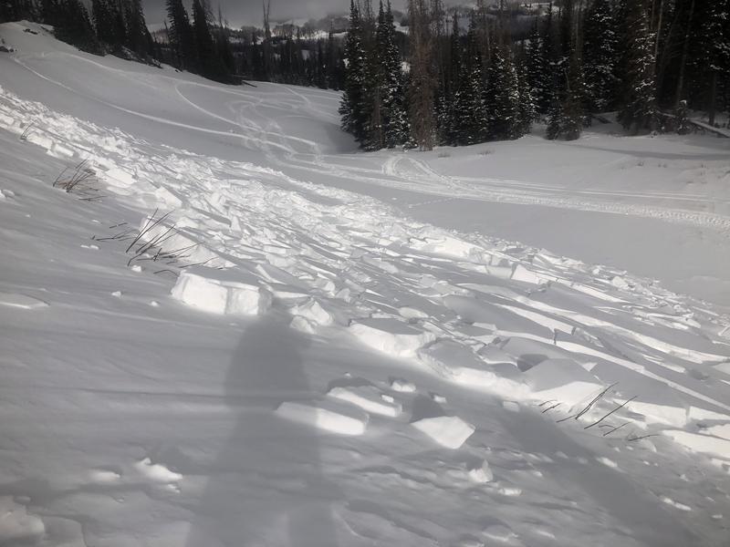
This avalanche was a little more due East in aspect, but same elevation, snow structure and characteristics of the prior avalanche discussed. This slope was wind-loaded, steep enough to slide, and looked to be triggered from below. SS-ARu- R1-D1.5-O
We also noted recent wind loading, and fresh wind slabs 2-6" deep that were being formed, and that we also triggered during our travels. These can be found on the leeward slopes at upper elevations in the windzone.
Video
Coordinates


