Continued winds overnight will keep a mention of wind drifts primarily along the higher elevation bands as well as a few pockets of wind drifts just to the lee of some mid-elevation ridgelines. These drifts now may be up to a foot deep and 100' wide and reactive to cornice drops and ski cuts. These should become more stubborn as the day wears on.
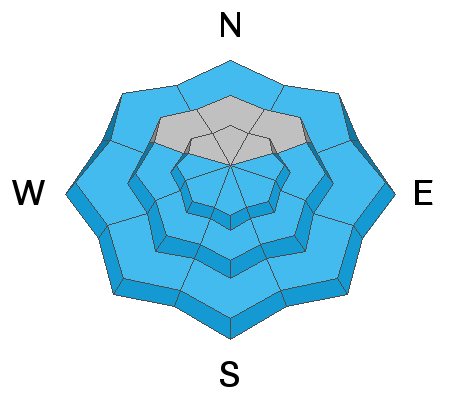
Side Note #1: the aspect/elevation rose can be misleading as it applies to topography. Mid-elevation ridgelines can be significantly more wind loaded and dangerous than mid-slopes below terrain with greater relief...even though they are the same elevation. In other words, the ridge above Arrowhead Summit on Timp (at 8600') can be way more wind loaded than the runout zone of the UFO Bowls north of the Primrose Cirque.
Side Note #2: As reported above
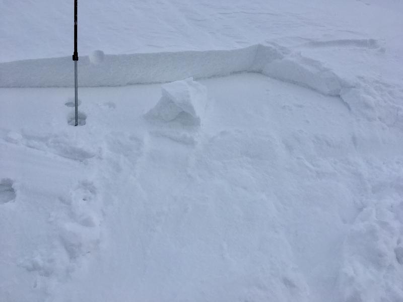
, Nat Grainger found odd and unusual loading patterns on Box Elder yesterday (
observation) with drifts found in undulations on windward slopes (ie: southwest through east). A long time ski patroller, he was able to
recognize, and then both mitigate and avoid these drifts. Learn more about wind drifts
here and
here.
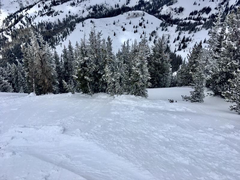
Side Note #3: some areas received a fair bit of
graupel with the storm. This graupel can bounce downhill and
pool beneath cliffbands or at significant slope angle transitions (from very steep to moderate) and remain sensitive to provocation briefly after a storm.