Forecast for the Moab Area Mountains

Issued by Eric Trenbeath on
Sunday morning, February 23, 2020
Sunday morning, February 23, 2020
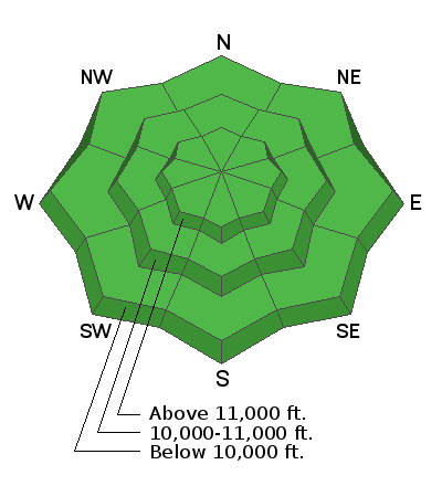
Minor snowfall amounts have not changed conditions much and the avalanche danger remains generally LOW. Low danger doesn't mean no danger and it may still be possible to trigger an isolated wind drift in steep, upper elevation, wind affected terrain. On steep, shady slopes below treeline, human triggered, loose snow sluffs entraining weak, faceted snow are also possible. Though mostly small and manageable, one could catch you off guard and sweep you into a tree or over a cliff. Practice safe travel techniques and keep an eye toward subtle terrain features that may harbor lingering instabilities.

Low
Moderate
Considerable
High
Extreme
Learn how to read the forecast here


