Forecast for the Provo Area Mountains

Nikki Champion
Issued by Nikki Champion on
Wednesday morning, February 12, 2020
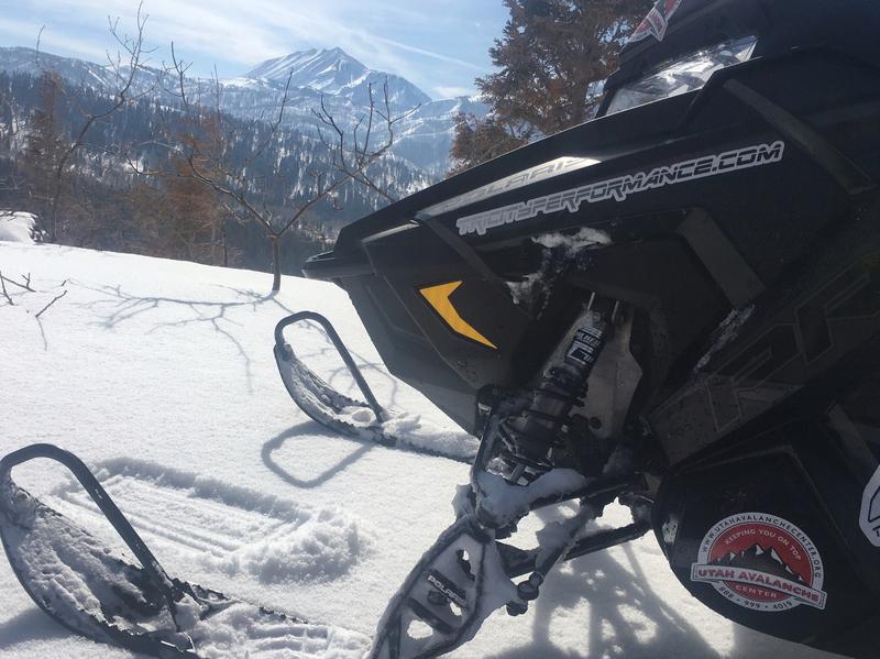
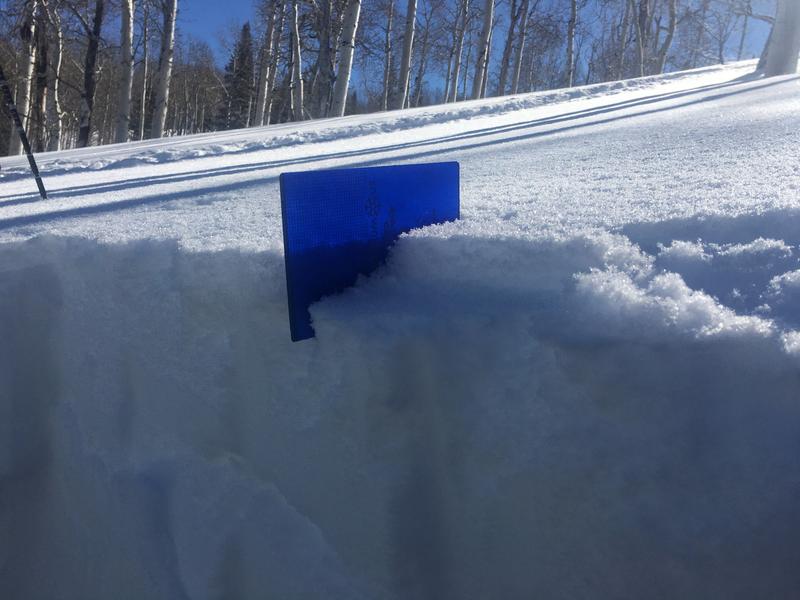
The avalanche danger is LOW on all aspects and elevations. Remember a low avalanche danger, doesn’t mean “no avalanche danger”. Continue to evaluate snow and terrain carefully and watch for unstable snow on isolated terrain features.
Consider the terrain you are traveling in, even a small ride in steep sustained terrain can be fatal. Use safe travel protocol by only exposing one person at a time to avalanche terrain. Carry rescue gear and keep an eye on your partner.
Low
Moderate
Considerable
High
Extreme
Learn how to read the forecast here
Special Announcements
Discounted lift tickets - Thanks to the generous support of our Utah ski resorts and Ski Utah, all proceeds from these ticket sales go towards paying for avalanche forecasting and education! Get your tickets here.
Looking to improve your avalanche skills? We are offering a Backcountry 101: Introduction to Avalanches class at Powder Mountain February 14-15.
Weather and Snow
This morning, mountain temperatures are in the low-20s F at trailheads, and mid-teens F at ridgetops. At most elevations winds are Northwesterly, averaging in the single digits to low teens mph, with gusts near 30 mph at the uppermost elevations. Snow has just begun to lightly fall, with no accumulation yet.
Today, winds should remain Northwesterly and decrease by 9 am this morning. The winds will average in the mid to upper teens mph, with gusts near 25 mph. Temperatures will be in the upper-20s to low-30s F, and the skies will be overcast or broken with a few flurries throughout the day bringing up to 1 inch of snow to the mountains.
Looking forward, the next significant storm is expected later Sunday through Monday as the weather pattern amplifies across the western continental united states

The backcountry currently hosts a variety of supportable crusts, making travel and riding fast and efficient..

Photo at Mt Nebo of the firm surface crust beneath a few inches of snow (Photo: M. Staples)
Recent Avalanches
No new avalanches reported in the backcountry yesterday.
Ad
Avalanche Problem #1
Normal Caution
Type
Location
Likelihood
Size
Description
Remember, LOW avalanche danger is different from NO avalanche danger. No matter what, traveling the mountains is inherently risky. As the avalanche danger decreases, we tend to choose larger terrain objects and we need to remember that even a small avalanche can have serious consequences in steep sustained terrain or areas with dangerous terrain features like cliff bands and rocks.
Look for snow that has been affected by the increased overnight wind and use the terrain to move around those areas.

Today, the wind drifted snow and new snow is becoming increasingly stubborn. Over the next few days keep an eye on this structure, and watch for the development of weak faceted snow beneath the crust which could pose a problem for our snowpack in the future.
Photo from Mt. Nebo where 3/4 of an inch of very-low-density snow sits on top of a variety of crusts. (Photo: M. Staples)
Cornices: Additionally, this past weekend storm added heft to the existing cornices. Last weekend's storm, in combination with the high overnight gusts, will cause these cornices to get closer to their tipping point. As the temperatures begin to climb, remember that these cornices often break much further back than expected, so give them a wide berth whenever traveling near ridgelines.
Additional Information
Areas of the Ogden mountains suffered more greatly with the rime/freezing rain crust. Travel conditions are greatly diminished, particularly on the east side of the Eden valley. Avalanche conditions are currently LOW there, they may prove to be interesting up there in the coming weeks.
In the Salt Lake Area, and interested in learning more about this most recent avalanche cycle? State of the Snowpack a Discussion of the Recent Historic Avalanche and Weather Event in Little Cottonwood Canyon” with UAC Forecaster Trent Meisenheimer, Forecaster Mark Saurer with UDOT, and Mike Wessler University of Utah PHD Candidate in Atmospheric Science. Join us this Thursday at Black Diamond Store 3900 South 7:00pm - 8:30pm
General Announcements
This information does not apply to developed ski areas or highways where avalanche control is normally done. This forecast is from the U.S.D.A. Forest Service, which is solely responsible for its content. This forecast describes general avalanche conditions and local variations always occur.