Forecast for the Skyline Area Mountains

Brett Kobernik
Issued by Brett Kobernik on
Thursday morning, January 9, 2020
The avalanche danger remains generally LOW. Isolated wind drifts in the higher terrain are really you're only concern.
Do not let your guard down during periods with LOW avalanche danger. The avalanche danger may start to increase as numerous storms move through over the next week.
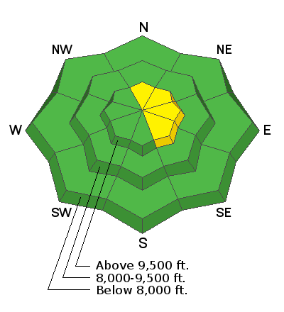
Low
Moderate
Considerable
High
Extreme
Learn how to read the forecast here
Weather and Snow
The Skyline picked up 4 inches of snow during the day on Wednesday. There was light snow falling this morning. Wind wasn't too much of a factor as far as drifting the new snow. Temperatures have cooled into the teens.
I am finding some areas with weak snow within our snowpack. These are areas where the pack is shallow. I'm not sure that there is enough of a widespread weakness across the entire range to cause problems once we stack more snow up. Keeping an eye on this during the next period of storms is my main focus and I'll obviously keep you alerted.

Weather Outlook: A series of storms is making their way through our area. We'll see unsettled weather into the middle of next week. We should see another small amount of snow this evening an into Friday. The next impulse is Saturday afternoon into Sunday. The next one is Monday. It looks like snow will slowly stack up and I'm hopeful to see 18 inches or so by next week.
Ad
Additional Information
This forecast is from the U.S. Forest Service, which is solely responsible for its content. This forecast describes general avalanche conditions and local variations always occur.