Forecast for the Skyline Area Mountains

Brett Kobernik
Issued by Brett Kobernik on
Saturday morning, December 28, 2019
There is a MODERATE avalanche danger in the upper elevation terrain where wind has been moving snow and forming drifts. It's possible that a person may trigger small avalanches today on steep slopes in these locations. In non-wind affected terrain, the avalanche danger is LOW.
Low
Moderate
Considerable
High
Extreme
Learn how to read the forecast here
Weather and Snow
Current weather:
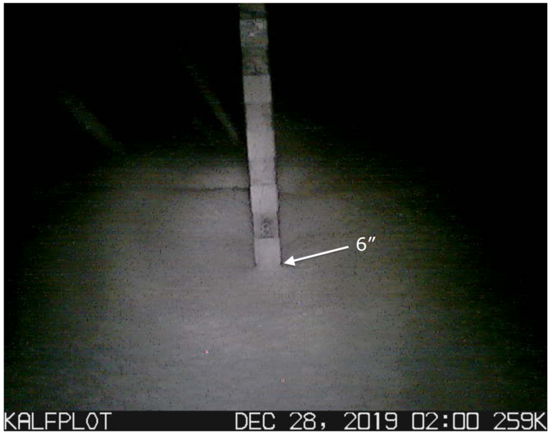
The wind on Friday stayed fairly light. It quickly shifted from east to north to west during the day. Light snow fell most of the day without accumulating much. Snowfall intensity picked up overnight and you'll find 3 to 6 inches of new snow out there this morning. It looks like the central Skyline from Pleasant Creek to Manti Canyon was favored. West wind looks like it's blowing a bit along the higher terrain. Temperatures are around 5˚F.

Weather outlook:
The weather looks unsettled for the next couple of days with mostly cloudy skies and moderate speed northwest wind. Temperatures are going to stay cold today and highs might not reach the teens. Light snowfall is possible especially this morning. I'm not expecting much accumulation. It looks like there are continued storms lined up over the longer term. None of them look like they'll be huge but it looks like we'll continue to see small amounts of snow from each one.
Ad
Avalanche Problem #1
Wind Drifted Snow
Type
Location
Likelihood
Size
Description
You're main concern today will again be watching out for fresh drifts of wind blown snow on steep slopes in the higher terrain. The new snow is low density powder and is easily moved by the wind. Avoid large "pillowy" looking drifts and watch for cracking within the drifts.
Additional Information
This forecast is from the U.S. Forest Service, which is solely responsible for its content. This forecast describes general avalanche conditions and local variations always occur.