Observer Name
Ted Scroggin
Observation Date
Wednesday, December 18, 2019
Avalanche Date
Tuesday, December 17, 2019
Region
Uintas
Location Name or Route
Whitney Basin-Double Hill
Elevation
10,300'
Aspect
Northeast
Slope Angle
34°
Trigger
Natural
Avalanche Type
Hard Slab
Avalanche Problem
Wind Drifted Snow
Weak Layer
Facets
Depth
5'
Width
150'
Vertical
250'
Comments
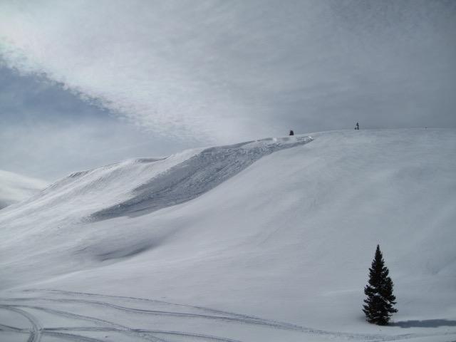
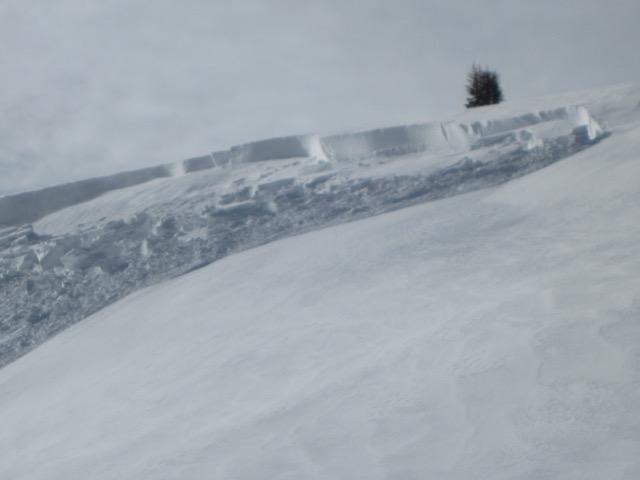
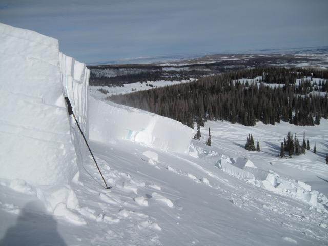
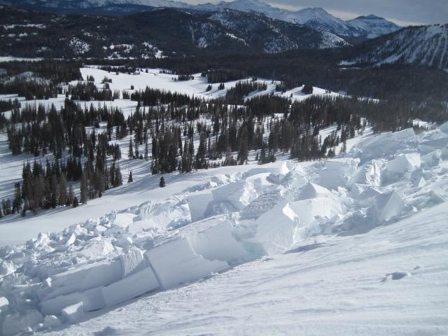
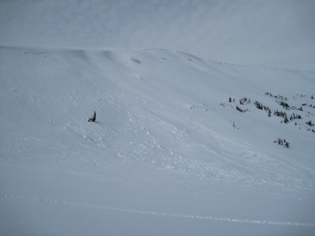
Took a look at this avalanche on the north end of Double Hill today. It looks fairly recent with the crown still fresh looking and not too much drifted snow on it. It is a hard slab avalanche with some huge bone crushing chunks of snow. It is not a large slide as far as width and slope distance traveled, but the depth is quite impressive with the crown measuring 3-5.5'. I'm still unsure of a cause, my first thought was a remote trigger due to some sled tracks at the bottom and one track above the crown. Knowing the history of how Double Hill is heavily wind loaded and with the bump in winds overnight this could be a natural. The dense wind driven snow was no match for the weak sugary snow near the ground and overloaded the weak snow structure.
Comments
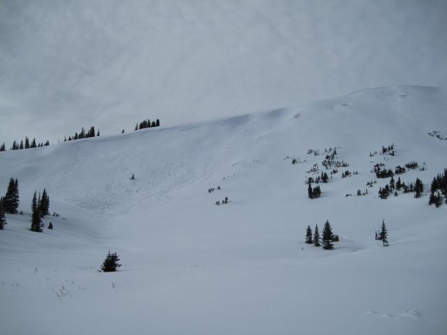
Down here on the south end of Double Hill was another natural wind slab that released from steady south/southwest winds. This one has filled in quite a lot, but is a little more connected. It looks like the winds have tipped the scales in some places and the weak snow structure cannot support the dense slab.
Video
Coordinates


