Check out the new
weather page created for us by Manti-Skyline forecaster and general do it all guy Brett "Kowboy" Kobernik. Thanks Kow!
The avalanche beacon tester is up and running at the Geyser Pass trailhead! Walk or ride past the sign on your way up - a red X means your beacon is off or not functioning, a green O means you're good to go! Thanks to UAC volunteer and supporter Kristi Jensen from
Coyote Shuttle for helping me get it set up!
Road Conditions: The road is snow-packed and slick but passable to all-wheel drive vehicles with good tires.
Grooming update: It's been more than a week since Matt rolled and packed into Gold Basin and conditions are a bit rugged. I'll be picking up the other machine this week and we'll be able to start running the Ginzu groomer.
24 Hour Snow 1" Base Depth in Gold Basin 29" Wind N 2-5 mph Temp 8F
Yesterday's storm event underwhelmed even my pessimistic forecast with a grand total of 1" of snow falling over the past 24 hours. Westerly winds throughout the event averaged 15 mph with gusts into the high 20's. They dropped off and shifted to more northerly yesterday afternoon, and are currently light. It's currently 9 degrees at 10,000'. Today look for mostly cloudy skies, light northerly winds, and high temps around 20 degrees. Conditions look dry for the upcoming week.
In our travels up the Laurel Highway yesterday we found lots of windblown and crusted surfaces. We found creamy, blown-in snow in sheltered locations that made for fun, fast, and occasionally variable turning conditions. The base is holding up pretty well, but it's now been two weeks since the last significant storm and many rocks and logs are starting to appear.
The good news is that we have been unable to locate a reactive, persistent weak layer, and the development of basal facets, or weak sugary snow near the ground is minimal. For now, your only real concern is isolated areas of wind drifted snow. For more details see this observation from
Travis Nauman.
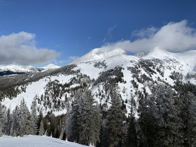
Overall coverage is good for this time of year, even on south-facing slopes. Dave Garcia photo.