Forecast for the Skyline Area Mountains

Brett Kobernik
Issued by Brett Kobernik on
Tuesday morning, November 26, 2019
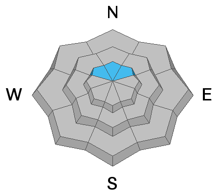
For the most part, avalanche conditions are fairly safe. The majority of the terrain has a LOW avalanche danger. A MODERATE avalanche danger exists in the highest northerly facing terrain where weak pre-existing old snow from October exists. Areas with old snow are most pronounced from about Pleasant Creek south to 12 mile Canyon.
The avalanche danger may increase over the next few days depending on how this next storm affects us.
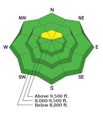
Low
Moderate
Considerable
High
Extreme
Learn how to read the forecast here
Weather and Snow
Mountain temperatures dropped into the single digits overnight. Wind was moderate in speed from the WNW during the storm. The storm did ok for us here on the Skyline. Once again, the central Skyline faired better than the north. Totals are:
Fairview Canyon - 7"
Ephraim Canyon - 14"
12 Mile Canyon - 15"
There is still not really enough snow for any serious winter recreation. There is enough to walk around on snow shoes or cautiously walk and slide around on skis. If you're not too concerned about your snowmobile skis you could probably putt around on a snow covered road.

We'll have a break today with cold temperatures and light southerly wind. The weather pattern looks active through the foreseeable future. The next storm will impact our area starting early Wednesday and lasting into Friday with periods of snow. Another foot is not out of the question although indicators are a little shaky.
Ad
Avalanche Problem #1
Persistent Weak Layer
Type
Location
Likelihood
Size
Description
The small amount of weak snow on the high north facing slopes is my only concern right now. There was 4 to 8 inches of sugar snow from October. This is enough to possibly produce some "pockety" avalanches. Hopefully I will be able to get into some of this terrain today to assess it. For the most part, this terrain is difficult to access right now so it's unlikely that many people will be in danger.
Additional Information
This forecast is from the U.S. Forest Service, which is solely responsible for its content. This forecast describes general avalanche conditions and local variations always occur.