Observer Name
John Garofalo
Observation Date
Thursday, February 7, 2019
Avalanche Date
Wednesday, February 6, 2019
Region
Uintas » Upper Weber Canyon » Weber Canyon
Location Name or Route
Weber Canyon
Elevation
10,000'
Aspect
Northwest
Slope Angle
38°
Trigger
Natural
Avalanche Type
Hard Slab
Avalanche Problem
Persistent Weak Layer
Weak Layer
Facets
Depth
2.5'
Width
150'
Vertical
1,000'
Comments
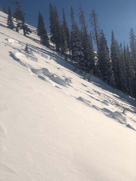
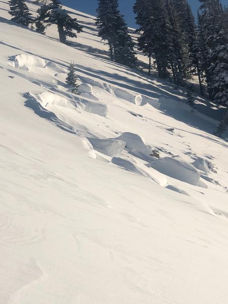
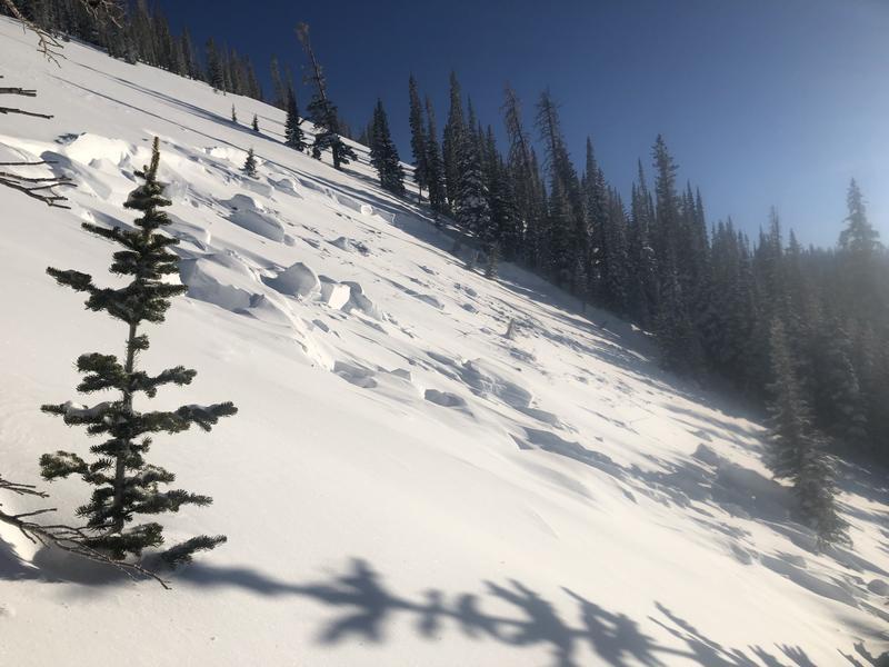
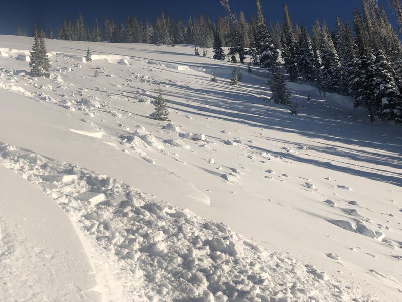
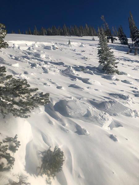
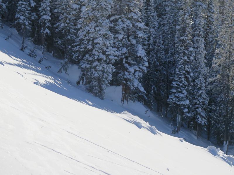
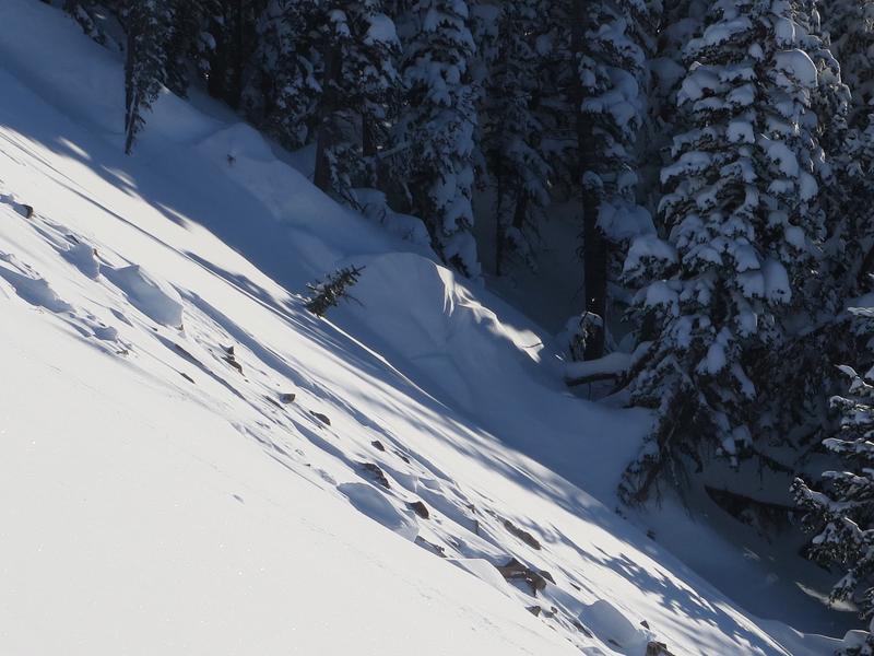
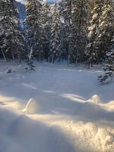
We came across this slide at the end of the day. I'm guessing it happened sometime on Wednesday the 6th or possibly Tuesday the 5th. There was a few inches of snow on the bed surface. Since it was the end of the day and there was still a decent amount of hang fire above the slide I didn't venture onto the bed surface at the crown. It looked to be between two and three feet deep at the crown but it appeared to have stepped down close to the ground. I'd guess the slide either failed at the new snow/old snow interface or, more likely, on the persistent weak layer that formed at the beginning of January, and then stepped down to older snow. Parts of the flanks were 5 feet deep and snow was piled up 6 to 8 feet deep on th uphill side of the trees. The most impressive aspect was the distance the slide ran. I'd say it ran close to 1000 feet or possibly more but the bottom half of the path is relatively forested and it kept making it's way through the trees. D3R3?
