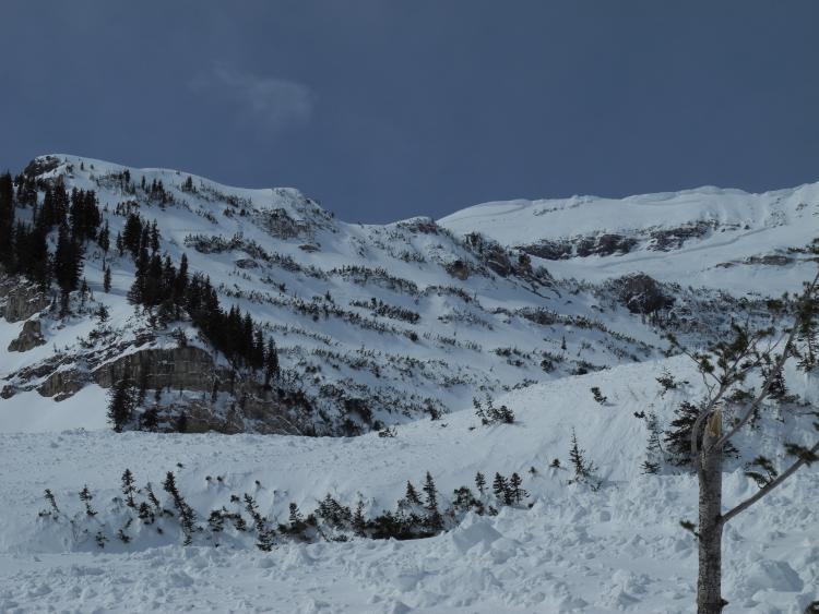
Headed up into the Giant Staircase area of Timpanogos today to look at the large natural that Willie Holdman took a photo of from Midway on sunday morning, 3/27. It does appear that this avalanche occurred when the winds picked up after 2200 on 3/26. They blew in the 20's, 30's and 40's out of the SSW for the next 24 hours. This was a HS-NC-R4-D4-O that was at least 7000' wide extending from the upper Timp Basin over to the North Summit of Timpanogos. It ran ~3000' and the crown depth appeared to be between 2-6' deep, likely deeper in spots. We weren't able to safely get to the crown to determine if this ran above or below the MLK crust, but it's likely that it was involved. Of note is that this is a repeater as this is the 3rd time that we have seen deep crowns on this same face. Did those earlier avalanches run above the crust and now they are stepping below it? was there a 2 layered rain crust here similar to what we have seen on the Roberts Horn face and now it's running on the lower crust? Or was the crust removed from the last 2 events and now we are seeing a reloaded slope failing on depth hoar? All speculation and conjecture at this point...

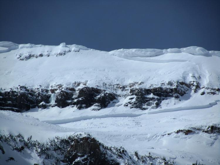
This is one of Nalli's photo's zoomed in on a deeper part of the crown. Note the missing cornice from the ridge that was likely the culprit here. We got a quick glimpse into Bunnells fork below the North Summit of Cascade Peak where WPG reported a large class 4 this morning. This avalanche was similar in scope and also appeared to be triggered by cornice fall. Seems like this is the pattern with these deep slabs as of late, a massive weight is necessary to trigger these avalanches. Be that as it may, not comfortable with the prospect of potentially finding the sweet spot in a thinner area after seeing the size and destruction of these.

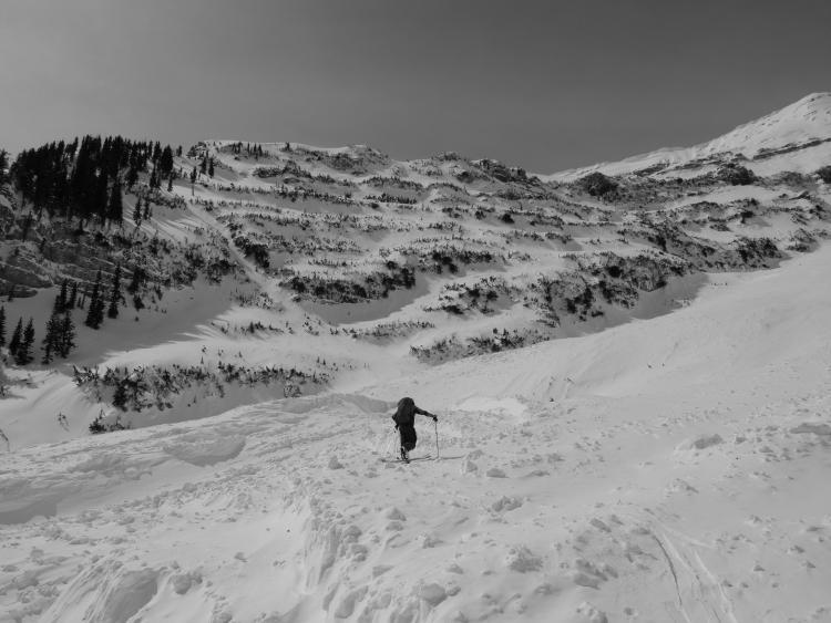
We ascended up the impressive snaking debris pile and were able to see smaller crowns on adjacent faces and below cliff bands that were pulled out as the debris moved downslope.

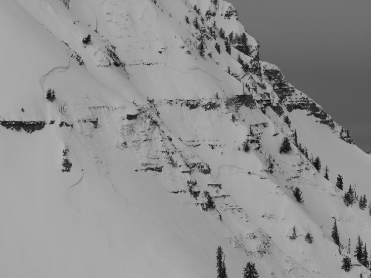
This is a look at the left extent of the avalanche below the North Summit of Timpanogos. The wind slab above this slope was impressively thick and pulled out these type of pockets in steep, thin, rocky terrain such as this.


