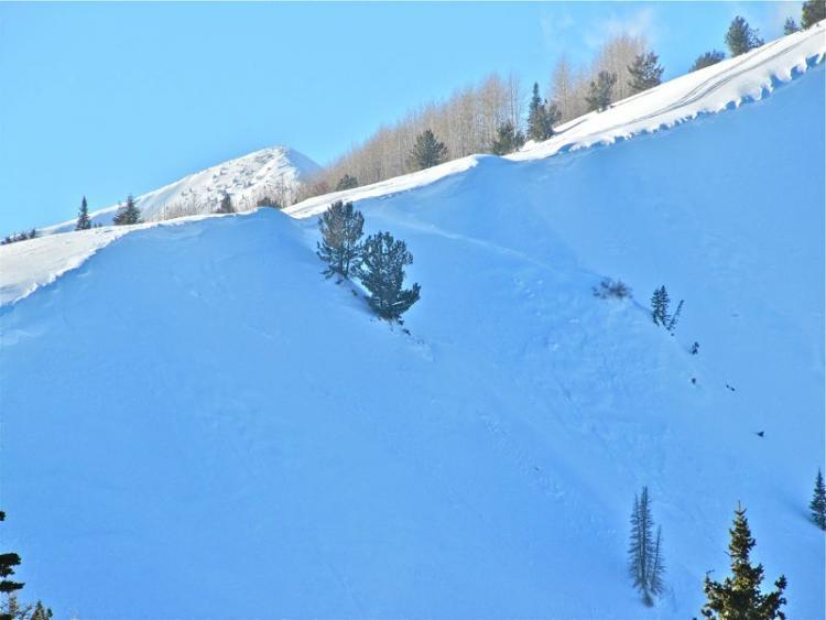
After a friend and I had climbed this hill about ten different times my friend placed a track about ten feet above our last highmark. He sidehilled across the slope and was just about to turn downhill when the avalanche broke loose. At that moment my friend made a quick last minute decision and turned his sled uphill and got stuck right where the crown broke. The crown face was between 2' and 3' and it appeared to be a pillow of wind loaded snow that ran on the rain crust. In the picture you can see previous tracks we placed on left side of the field. The track going through the middle of the debris pile is from my friend descending after he dug his sled out.
Forecaster Comments:
Kobernik
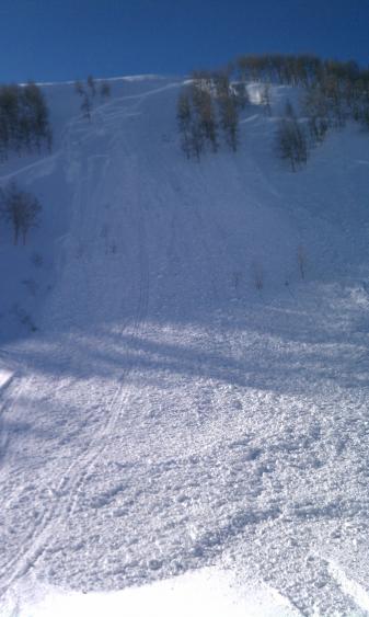
This was a significant avalanche. Mr Miller's assessment was correct in my opinion. It was a recent windload which failed just above the January rain crust. There was no significant weakness directly above the crust. It was difficult to get this weakness to fail in shear tests. The rapid addition of weight from the wind transported snow seemed to be the biggest factor. I suspect that if this slope were left alone for another 24 hours to give the fresh wind load a little more time to settle it probably wouldn't have avalanched.
I tip my hat to these guys for checking out the crown and trying to figure out what was going on with the layering. Our sled community is becoming more savvy as the years go on and it's great to see!!
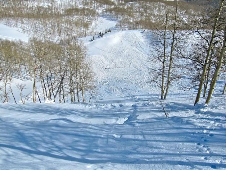
There was one portion of the slide that did break through the January rain crust which was quite stout and about 1 inch thick. This was on the lookers right side of the slide where the avalanche fractured in the trees. Faceted snow below the crust was the weakness. You can see the facets and the crust a few inches above the bed surface in this photo. The facets were not particularly alarming and it was difficult to reproduce shears with tests here. This portion of the slope was 48 degrees in steepness.
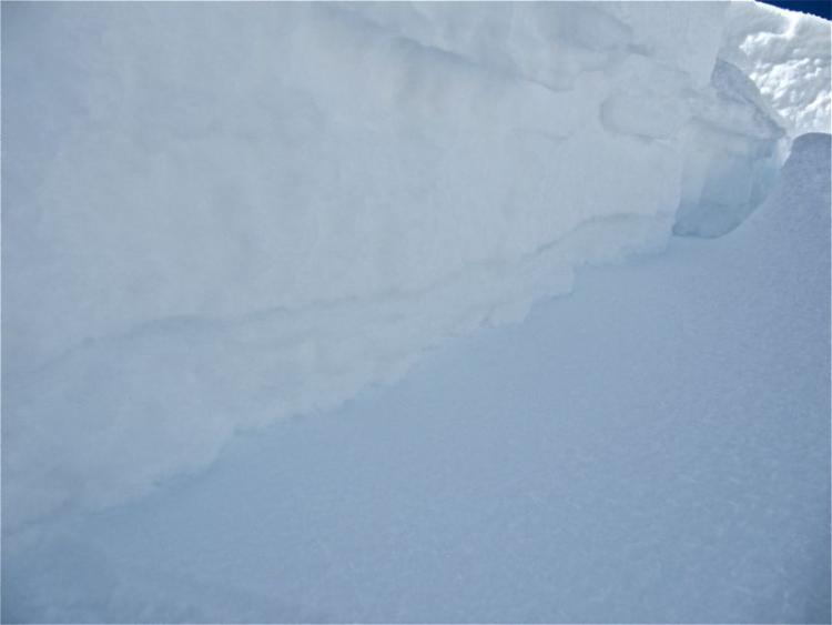
Here is the other pocket that Mr Miller reported. It was on the north aspect of the main Ant Knolls. I did not climb down in to check it out. The stout crust not too far under the surface was too intimidating for me to get on this very steep terrain.
