Forecast for the Uintas Area Mountains

Andrew Nassetta
Issued by Andrew Nassetta on
Sunday morning, April 6, 2025
Today's avalanche danger is LOW, and human-triggered avalanches are UNLIKELY on all aspects and elevations. Above treeline, look for pockets of wind-drifted snow in steep, rocky, alpine terrain. In addition, during the peak of the days heat keep an eye on loose snow avalanches if things warm rapidly.
Remember, it's spring and we are stepping into bigger terrain with bigger consequences. A small avalanche or fall in nasty terrain, or even a gear or rig malfunction could turn your day sideways quickly.
Low
Moderate
Considerable
High
Extreme
Learn how to read the forecast here
Special Announcements
Motorized Users—Please consider taking this 5-minute survey to help researchers better understand avalanche education participation and safety preparedness. Responses are anonymous and confidential.
Weather and Snow
Nowcast: Clear skies and crisp temperatures start off the morning with 11k' temps reading near 15℉ and trailheads at 8k' around 20℉. A cold breeze from the north has been steady since yesterday, averaging 5-10 MPH with gusts maxing out in the 20's.
Forecast: For today, expect more sunshine with a high near 25℉ at upper elevations, but closer to 40℉ at trailheads. A light northwest breeze around 10 MPH will continue, and help things stay feeling winter-like up high.
Futurecast: High-pressure continues through today with a weak system passing through to the north of the range, sliding through Monday night.
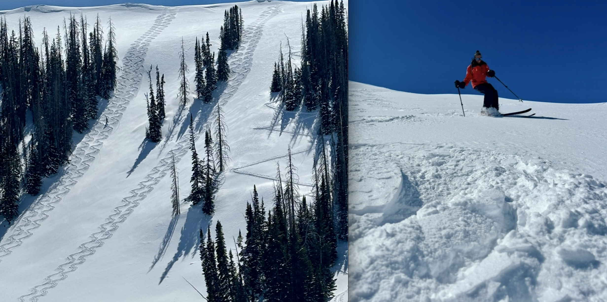
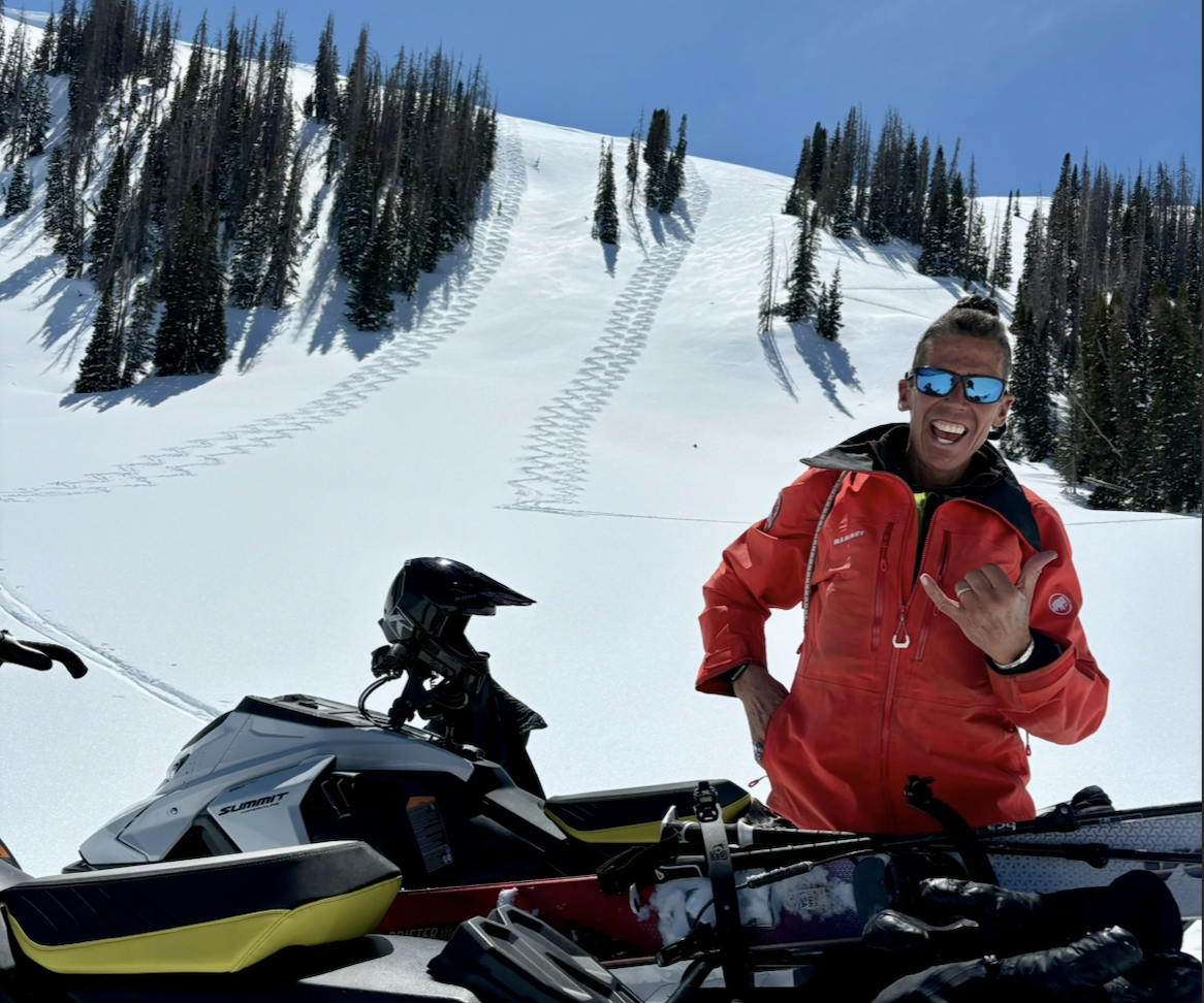
Travel and Riding Conditions: Things are full-swing spring at the trailheads yet still feel like winter up high, so if your ready to pay the price of admission the riding is worth it! Northerly slopes above 10k' are still holding cool powder and the riding is all-time, although it is a quickly fading commodity. Off-aspects and solars have turned into a mixed-bag quickly and are not yet supportable in all places. Today, I'm going above treeline for the cold snow while it lasts, then getting my corn kit ready for mid-week harvesting conditions.
Craig & I worked some high north above 10k' near the Humpy Basin and found stellar skiing in the sunshine -- With cold overnight temps and a cool breeze, surely, there is more of this on-tap for today.
Ted was over in the East Fork of the Bear River and mentioned, "...mid to lower terrain is looking nice and white. It is not always possible to have this kind of coverage for the first of April,".
Recent Avalanches
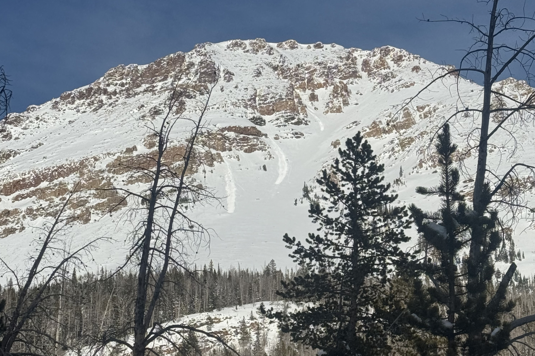
Yesterday, John C was getting after it in Blacks Fork and took note of a few loose-snow avalanches that mostly occurred with some solar input and point-releases off the rocks above. Check out his well-written ob, here. You can also view all trip reports, avalanches, and general intel from the Uinta range and beyond, here.
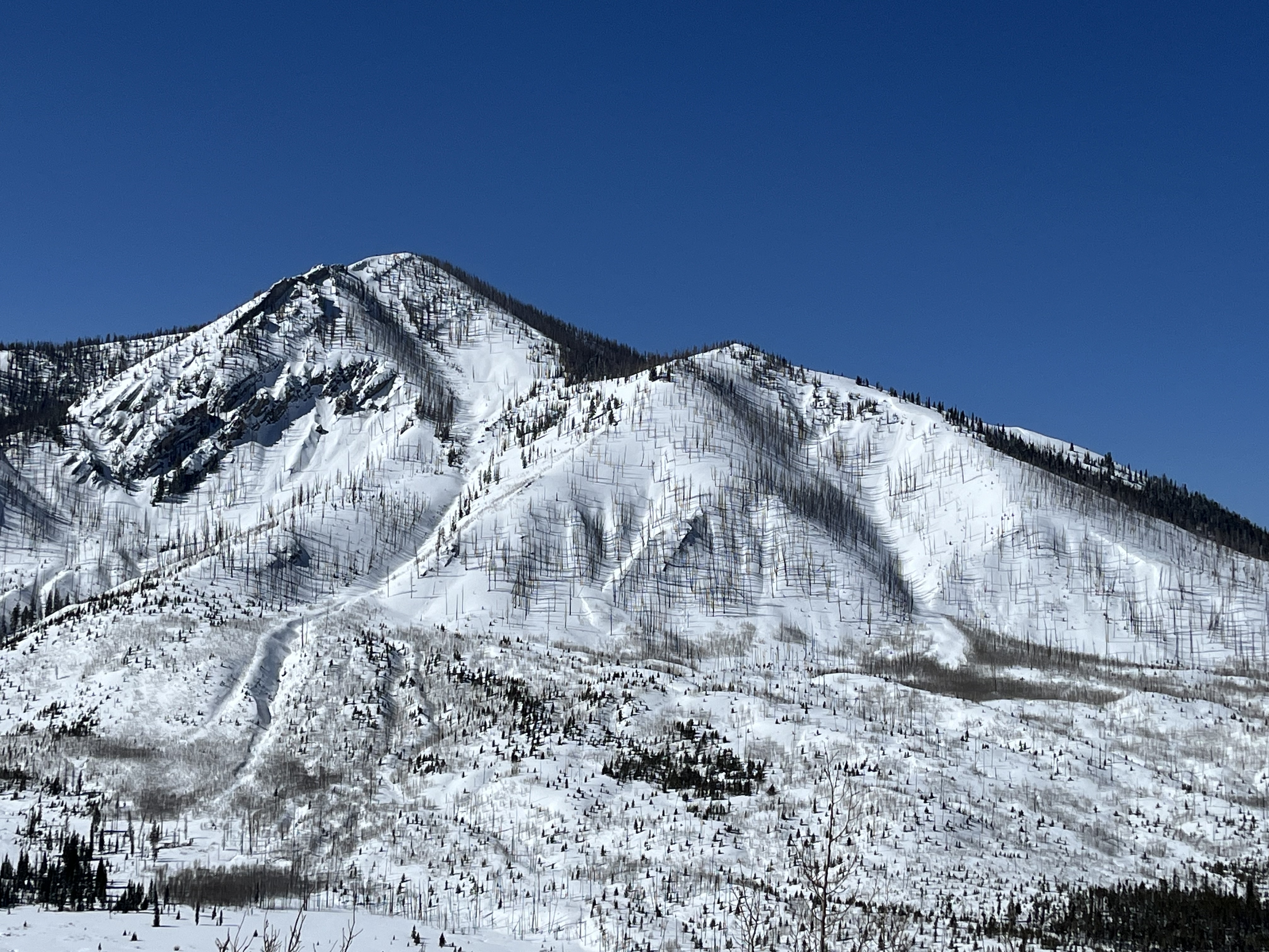
Mt. Beulah in the Blacks Fork drainage within the Uinta wilderness, sits above 11,000' and is steep, rocky, extreme terrain.
Ad
Avalanche Problem #1
Normal Caution
Type
Location
Likelihood
Size
Description
Under "Normal Caution" avalanche conditions, backcountry riders should apply standard safety protocols and watch for red flags or obvious signs of instability, as there is still a chance of small avalanches occurring extreme terrain. As we plan for bigger days and step-out into heftier terrain in the range, I am always keeping my guard up, and moving through the mountains with a few things in mind:
  • Small avalanches in consequential terrain can be fatal, and typically involve lots of trauma. Think about what your riding on, and what's below you if swept off your skis, board or sled, or have a slip and fall.
  • Large triggers can still cause large avalanches -- At the peak of the days heat, watch for cornices falling or small dribbling avalanches that could trigger a larger chunk of snow as it crashes onto the slope below.
  • Chose the right partners and bring the right tools for the job. From whats in your pack to your objectives and mindset, don't forget it's a team sport out there.
  • Practice good travel protocol and techniques. It is an easy way to increase your margins for error, especially in the spring. Space out, ride one at a time, regroup in areas of reduced exposure, and communicate everything throughout your day!
Additional Information
A huge shout out to Ski-Doo for getting us out into the hills to help us complete our work, and do a little product testing on the way! The Uinta's are a remote range, and snow machine is nearly the only way to get around. We could not do it without their support, machines, and stoke in our work and mission at the UAC -- You rock, Ski-Doo!
General Announcements
We are always looking for snow and avalanche observations or just general riding conditions. In the meantime reach out to us with questions, concerns, or if you see anything in your travels! Contact us directly through the info below:
This forecast is from the U.S.D.A. Forest Service, which is solely responsible for its content. This forecast describes general avalanche conditions and local variations always occur. This forecast was issued on Sunday, April 6th at 05:00 AM and expires 24 hours after it was issued.