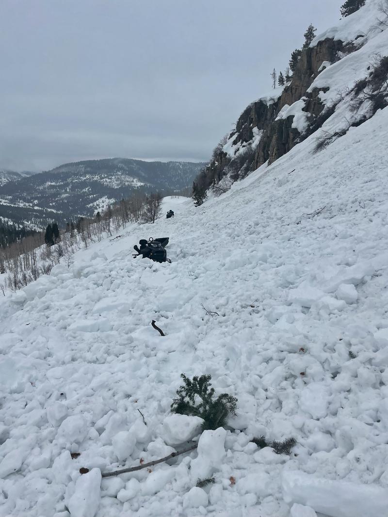
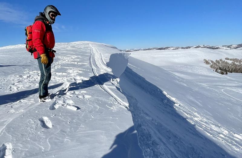
The final UAC report for the Upper Weber Canyon avalanche accident on March 9 has been published and is available
HERE. The UAC would like to thank Park City Powder Cats for sharing information about the timeline of the accident and allowing UAC staff access to the avalanche after the incident.
Temperatures plummeted since yesterday and are hovering around 18 degrees F this morning. Winds from the north-northwest are light, 2-6 mph, under cloudy skies. An inch of snow may have accumulated yesterday.
Today, a few snowflakes may dance in the air with no accumulations and the sun may poke out a few times as well, but temperatures should only climb into the mid 20s F and drop into the teens again tonight.
The snowpack should be hard and frozen today with a dusting of new snow on top.
Below is a graph of air temperatures from
Bald Mountain Pass with a red line drawn at 32 degrees F. Notice about a 60 hour period of above freezing temperatures followed by yesterday's arrival of cold air.
The recent 3 day period of very warm weather caused wet avalanches, both wet loose and wet slab; however, the Uintas remained a touch cooler and avalanche activity wasn't as widespread as it was in the Wasatch Range. Below is a
wet slab avalanche that occurred during this warm period.


