Forecast for the Uintas Area Mountains

Issued by Andrew Nassetta on
Monday morning, December 9, 2024
Monday morning, December 9, 2024
The avalanche danger is LOW today, and human-triggered avalanches are UNLIKELY. You could trigger a small slide in specific areas. Look for and avoid areas where the snowpack is thin and wind loaded.
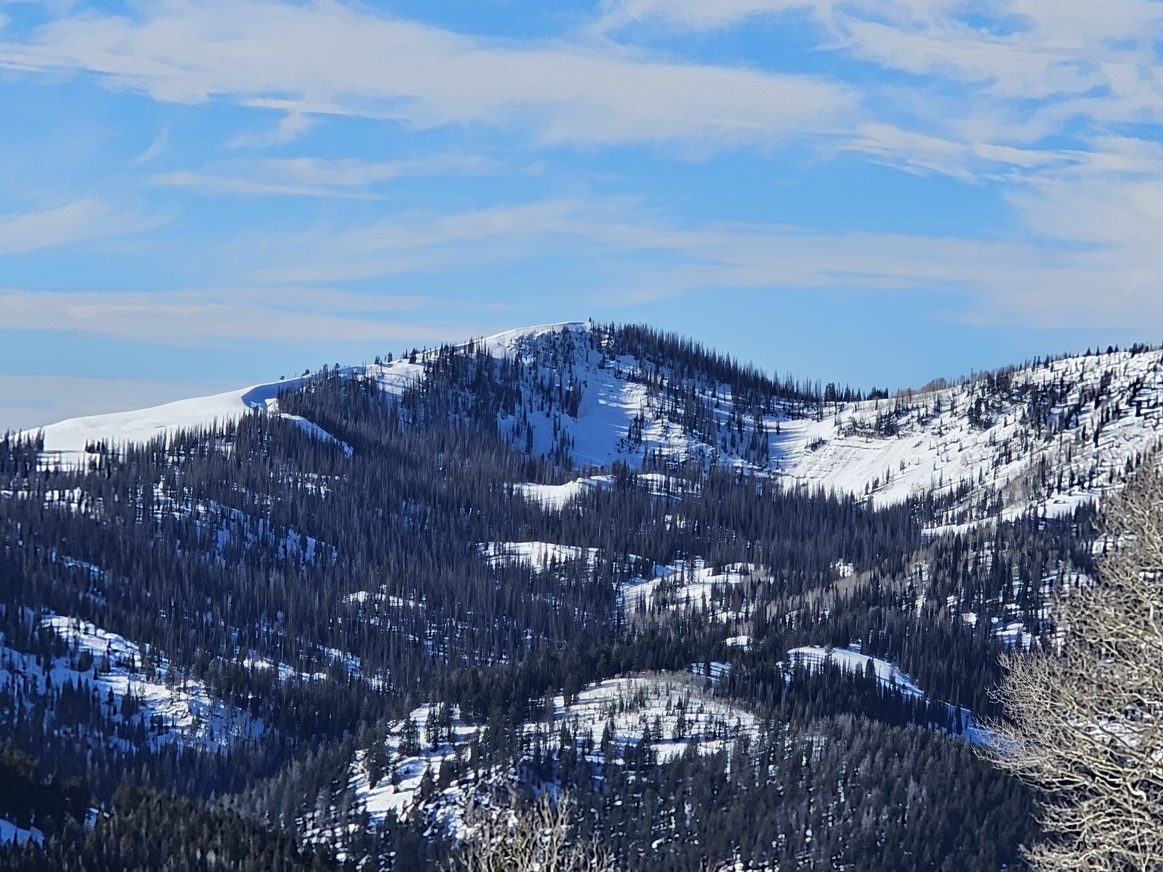
Snow depths are 1-2' in most areas and hitting stumps, logs, or rocks remains our greatest hazard while the best riding exists on low-angle, northerly facing slopes.

Low
Moderate
Considerable
High
Extreme
Learn how to read the forecast here
 Weather and Snow
Nowcast
Yesterday, late afternoon winds cranked up to 40 MPH on the high ridgelines and ushered in a cold front overnight with a pinch of precip. Westerly winds back off this morning as upper elevation ridgeline temperatures hover around 0℉, with windchill crushing temps into the negative teens.
Forecast
We are looking at another half-inch of snowfall possible throughout today, with temps remaining crisp. A high of 16℉ at upper elevations and trailheads sitting closer to 20℉ at 8,000'. Winds will continue from the West with moderate gusts up to 25 MPH.
Futurecast
Don't worry, we will be back to sunshine and clear skies in no time... After this quick shot of weather high-pressure returns.
Current Conditions
"Facets on the North? Duh. Facets on the West? You bet! Facets on the SE? For Sure!" said Mr. Joey Manship who was out and about in Weber Canyon. He follows with, "This is going to be a snowpack to watch out for when we get a change of weather.".

Snow surfaces are variable and consist of crusts and dirt on solars with facets and sugary snow on the polar aspects. During high pressure, it's a great time to look at snow surfaces and what the snowpack is doing ahead of the next change in weather.
 Recent Avalanches
The most recent avalanche activity was reported on Wednesday, November 27th, near Wolf Creek Pass, on our persistent weak layer.
More information on avalanches and current conditions from the range can be found, HERE.
Avalanche Problem #1
Normal Caution
Type
Location

Likelihood
Size
Description
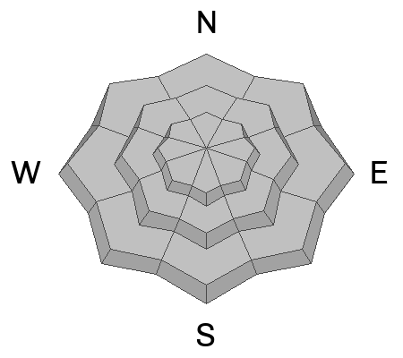
Early season snow near the ground has grown weak and sugary, but this persistent weak layer (PWL) is largely dormant. In fact, we haven’t seen an avalanche break to the PWL for several weeks, since right around Thanksgiving... good news.
The bad news... the recent drought is turning our snowpack into a weak, sugary mess and it’s rotten to the ground, becoming unsupportable on many polar aspects, especially where the pack is thin.
Triggering an avalanche today is unlikely. That said, I’m still avoiding steep, thin, rocky slopes in upper elevation terrain where a pocket of wind-drift snow sitting on top of facets could react to my additional weight, knock me off my feet, or and take me for an unexpected ride.

Facets and depth hoar, our current persistent weak layer -- North, 9,500' -- Trevor K.
General Announcements
Additional Information
The Uinta weather station network was upgraded this summer and all that real-time info is found here. Simply click on the "Western Uinta" tab and then the "Weather Stations" tab to find all your weather needs.
We are always looking for snow and avalanche observations or just general riding conditions. So... if you see something, say something. You can reach our team directly by contacting: Craig at craig@utahavalanchecenter.org, 801-231-2170, or Andrew at andy@utahavalanchecenter.org, or 860-460-8142.
General Information
This forecast is from the U.S.D.A. Forest Service, which is solely responsible for its content. This forecast describes general avalanche conditions and local variations always occur. This forecast was issued on Monday, December 9th at 0600 AM and expires 24 hours after it was issued. We will update the forecast by 0700 AM tomorrow. But, in the meantime reach out to us with questions, or if you see anything in your travels.


