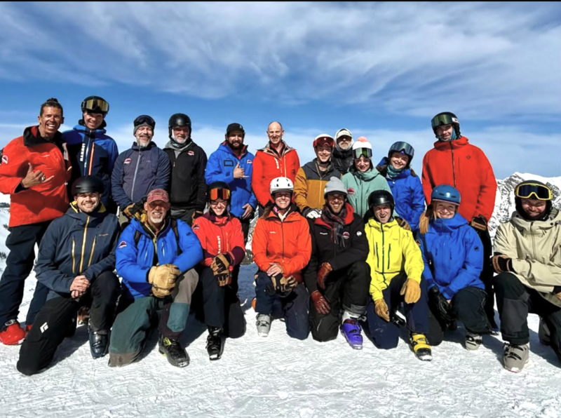
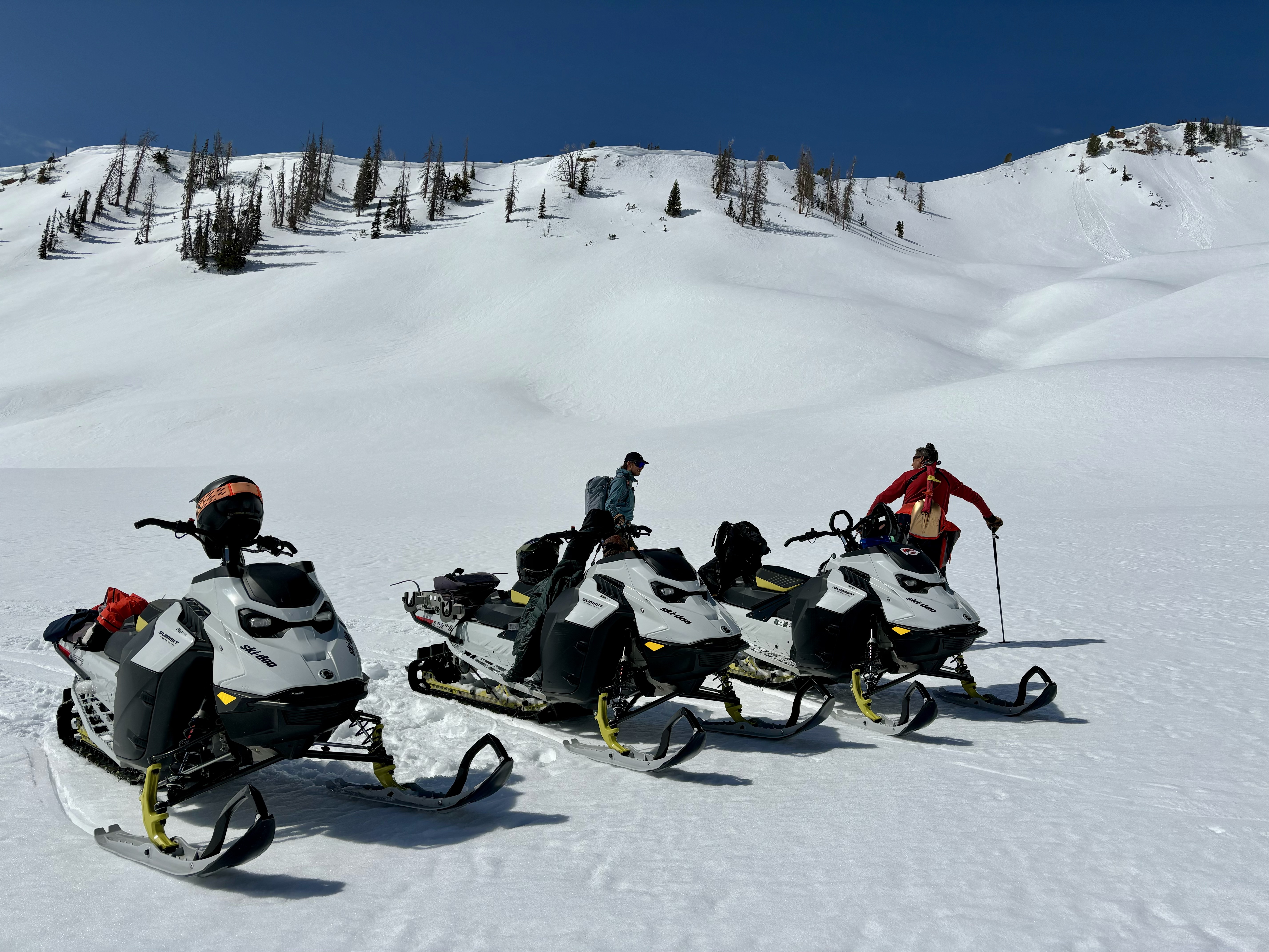
We've wrapped up avalanche forecasting for the winter, and soon, the only thing separating my skin from warm, blue-ish, Sea of Cortez salt water will be an evenly distributed layer of Hawaiian Tropic Tanning Oil. However, I couldn't leave without thanking a truly awesome cast of characters. First and foremost... huge thanks go out to my partner in crime, though we are not criminals, Andrew Nasetta, for all the hard work, determination, and devotion to the avy forecasting art form. Andy not only made it through his freshman year of forecasting without any speed bumps, he breezed through the winter with a 4.0 GPA. ( By comparison it took me nearly four years to complete my freshman year of High School and I clawed my way through every minute of it :)
In addition, we are super stoked to have Joey Manship contributing avy forecasts, fieldwork, outreach, and avy education to the eastern front. We're looking forward to having him play an important role in the future of the western Uinta program.
And finally, I would be remiss if I didn't include the incredible information we get from Ted Scroggin. He came out of retirement to get on the snow this winter and submit snow and weather observations that help the accuracy of this program. Ted knows the Uinta's like no other and we are grateful to have such a high caliber forecaster on our team.
Thanks men... well played. You truly are the glue that holds this program together and your dedication and commitment ultimately saves lives!
We know partnerships are huge to the western Uinta advisory program and both the Heber-Kamas and Evanston Ranger Districts are instrumental in supplying field partners and in-kind support.
In addition, many thanks to the Park City Powder Cats (PCPC), not only for all the snow and avalanche information and for the great professional dialog during times of heightened avalanche danger (much respect to Dave, Bo, Andy... wearing his other beenie, Trevor, and Jason), but also for your very generous contirbutions to the UAC. The Powdercats donated one day of cat skiing with proceeds going to the avalanche center. Wow... a rockin' PCPC crew and a first class operation for sure!
Regular Uinta avalanche forecasts have ended. But don't let your heart be troubled, we will continue posting
observations and avalanches, so please keep those letters and cards coming, and please submit your
observations as you get out and about in the mountains.
Top to bottom product testing, the next generation of avy forecasters Andy Nassetta and Joey Manship are truly first rate snow craftsman! I'm grateful for their conversations and deep dives, which make me a better forecaster, helping me understand the art of snow and this amazing white paint world we work in.
Uinta weather station network info is found
HERE. Simply click on "western Uinta" tab and then "weather stations" tab.
Check out all travel obs, avalanches, and more from the eastern front and across the state,
HERE!


